In MTB tra Schilpario e Azzone
Main stops:
Schilpario – Epolo – Malga di Voglia – Clusorina – Some – Azzone – Schilpario
A challenging route, especially in the initial part where a steep incline requires some pushing. High-altitude roads and fast forest passages define this exciting itinerary, passing through roccoli (traditional bird snares) and renovated barns. On the return from Azzone, the trail passes near an old renovated historic sawmill.
Technical data
Difficulty: BC/BC
Lenght: 27.3 Km
Time in motion: 2 h 55 min.
Cyclability: (90% uphill)—(95% downhill)
Recommended period: April – October
Surface: 30% asphalt – 50% dirt road – 20% trail
Minimum altitude: 967 m – Maximum altitude: 1636 m
Elevation gain: Ascent 2056 m – Descent 2055 m
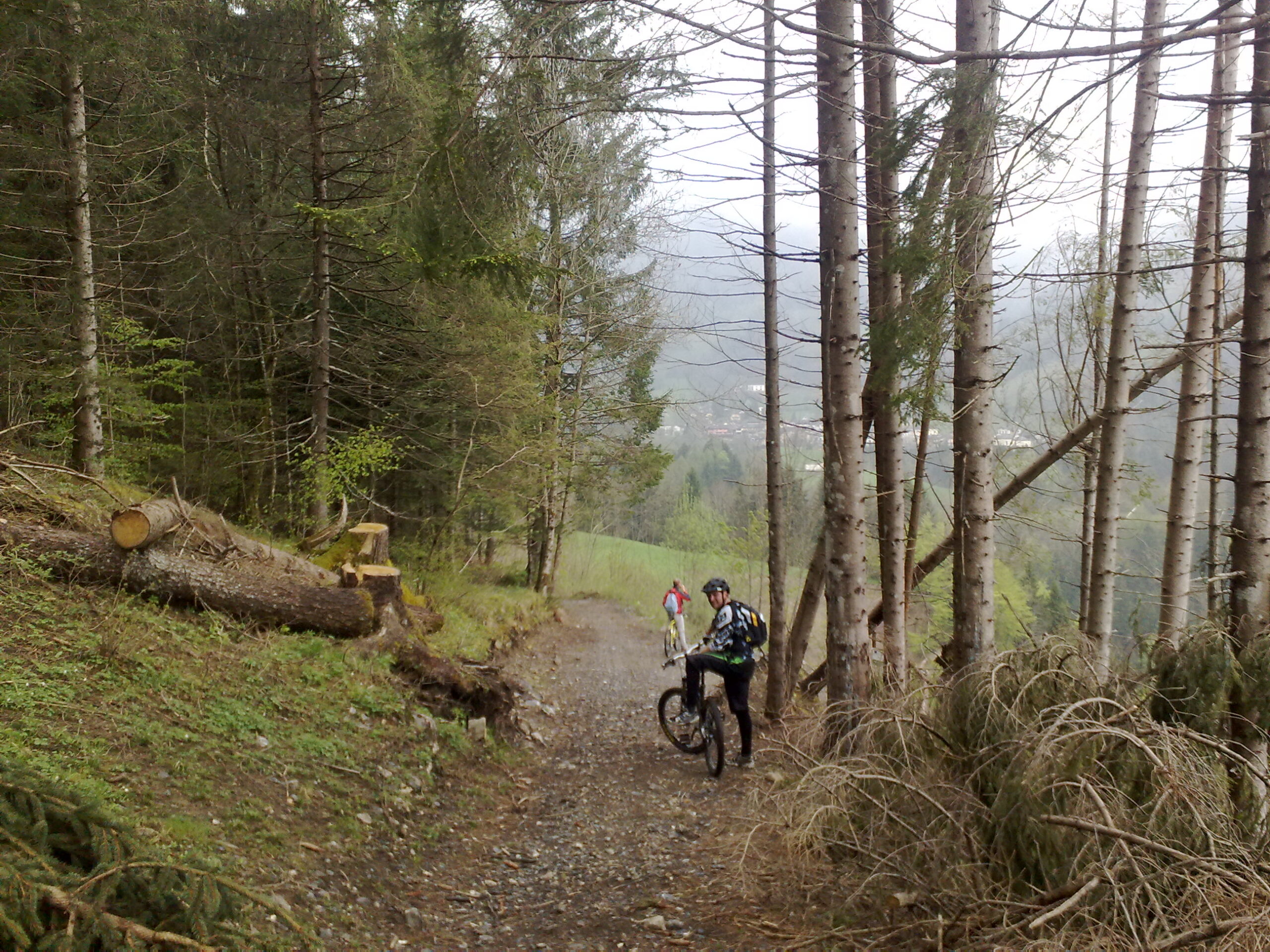
Pushing required: Yes – Bike carry sections: Yes
GPS TRACK: Essential
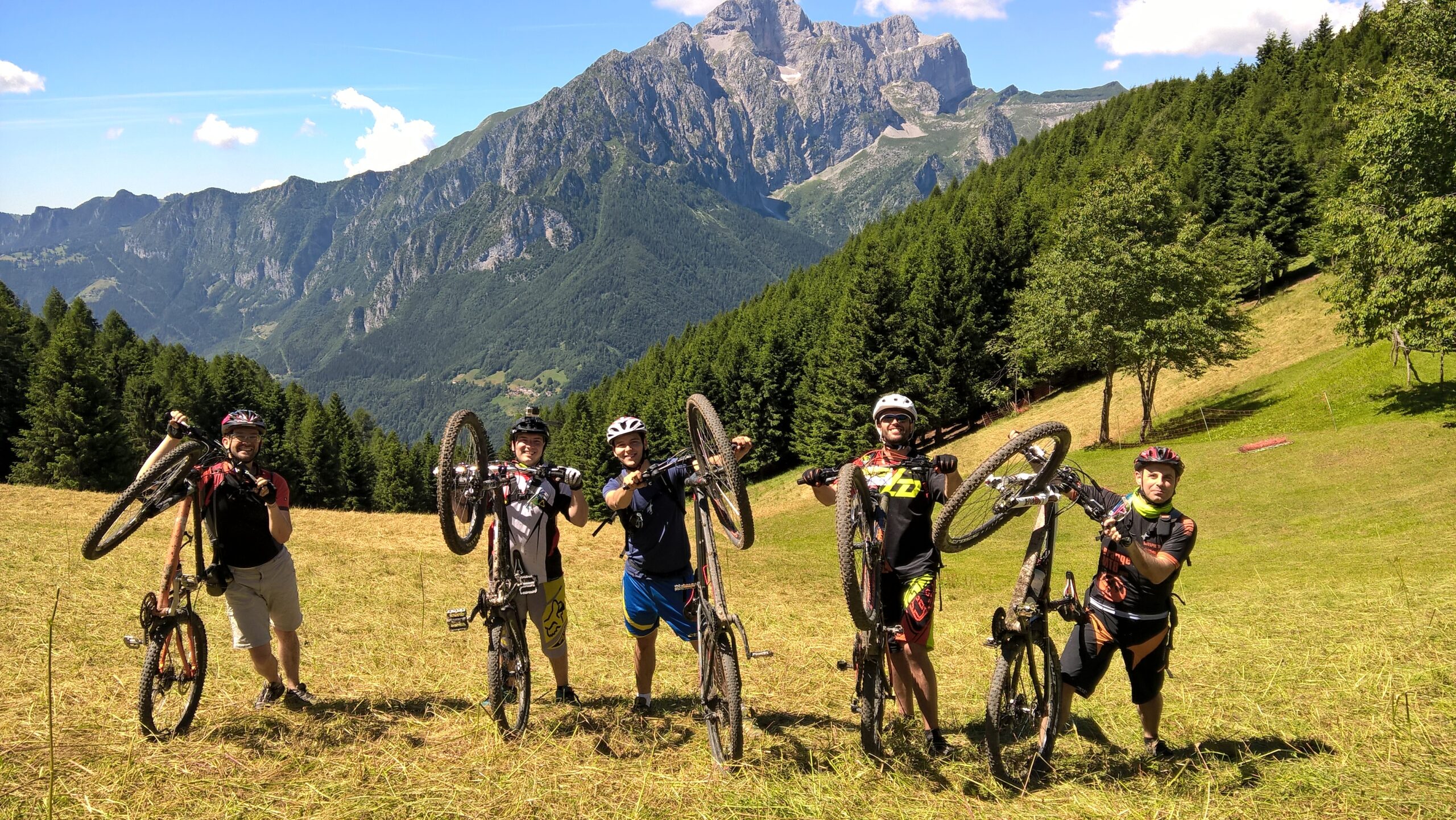
Tested by: Gian Pietro M.- Nicola T.- Riccardo P. – Davide B
Technical advice:
Always bring caution, respect and courtesy. Pay attention to marked deviations and check weather conditions before setting off.
Route description
Starting from Piazzale degli Alpini in Schilpario, head up via Paradiso, above the tennis court. Continue straight until the road becomes a flat dirt track. Cross the metal grid over the stream and stay on the main path. At the first fork, go right, then again right a few meters later and begin the ascent.
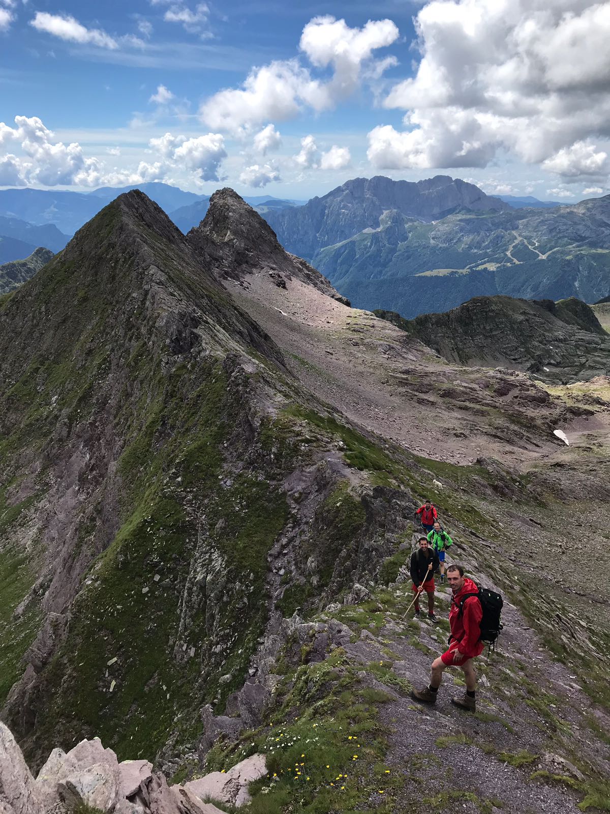
At the top, after a wooden bridge, you will reach a large meadow. Turn left up a steep slope leading to the Conca di Epolo. This section requires pushing or carrying the bike.
At the top, turn right across the grass towards a dirt road near an animal shelter. Follow the road as it ascends slightly, then descends to Malga di Val di Voglia. Continue left, maintaining altitude, along a level road until the dirt ends.
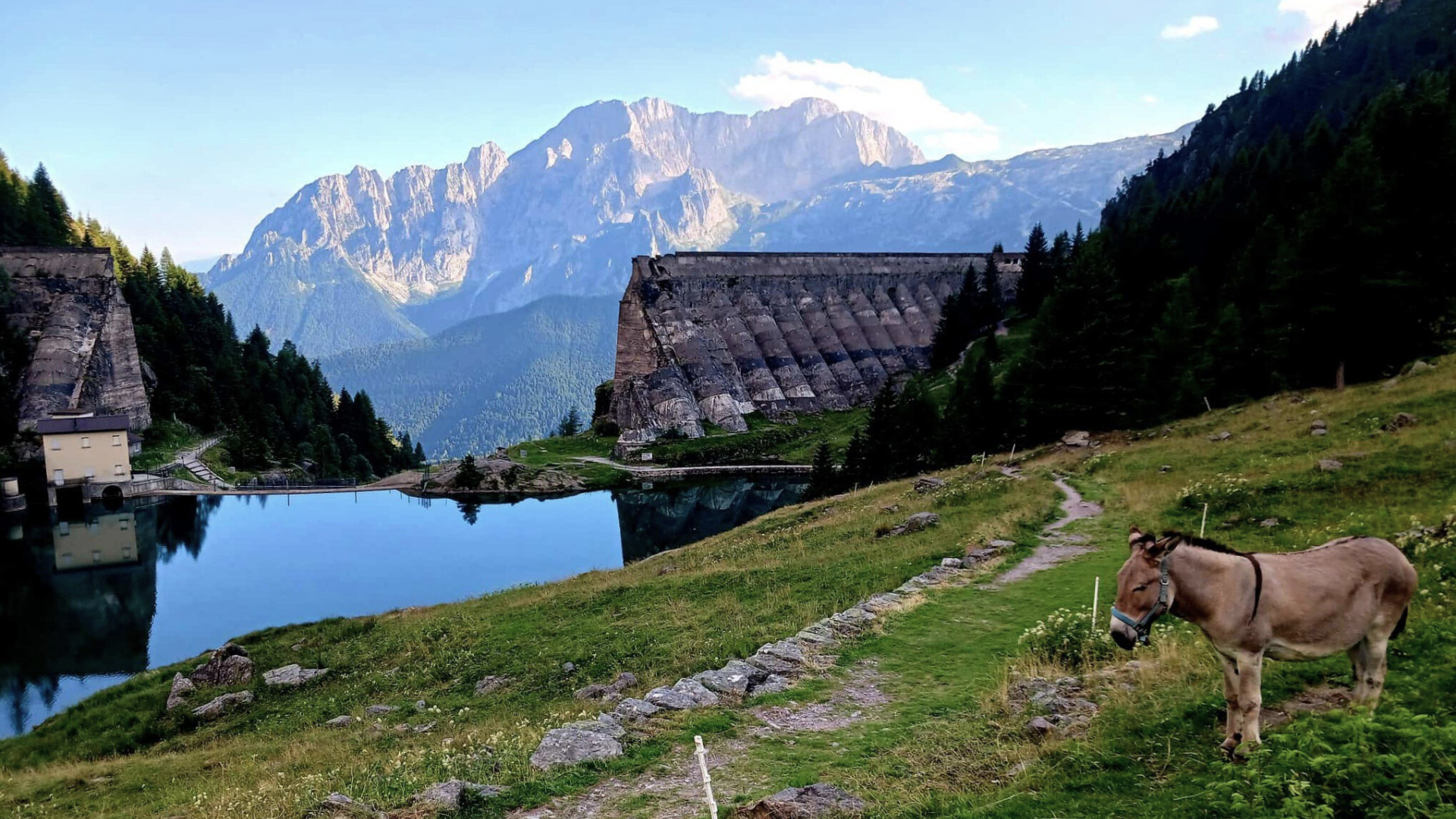
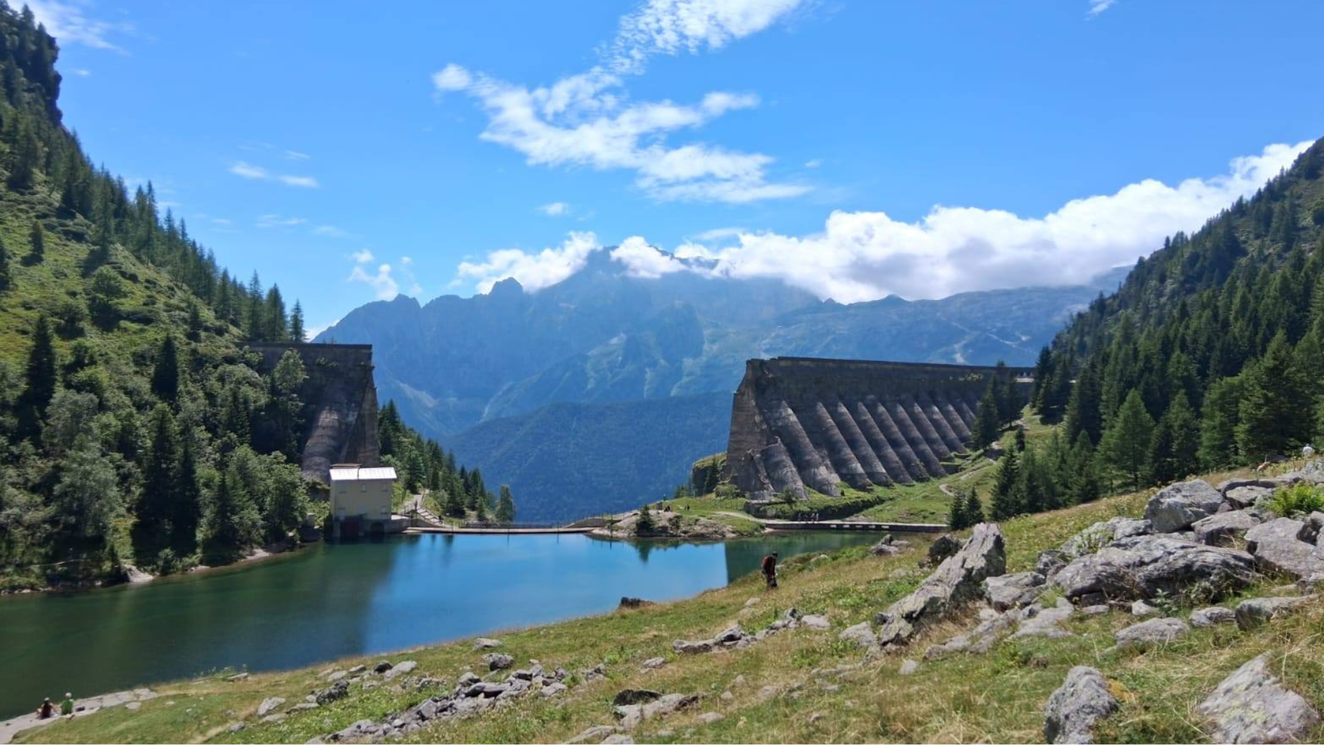
Follow CAI trail 419 to the Clusorina Roccolo, one of the two active roccoli in the valley, offering stunning views. From here, descend a fast, technical trail to Colle, a meadow that gives the area its name. Descend a steep, rough dirt road. At the first crossroad, keep right and descend. At the next fork, go right again on a gentle descent. Then, at another crossroad, keep left (important-do not go straight). Continue down a steep cemented section to reach Prato Grande.
Descend a steep, rough dirt road. At the first crossroad, keep right and descend. At the next fork, go right again on a gentle descent. Then, at another crossroad, keep left (important-do not go straight). Continue down a steep cemented section to reach Prato Grande.
At the next fork, go left and climb again. Pass the Chiesetta degli Alpini with its pointed roof. After a level stretch and another tough cemented climb, you will return to Colle. Retrace a short section and keep right towards Baite Some.
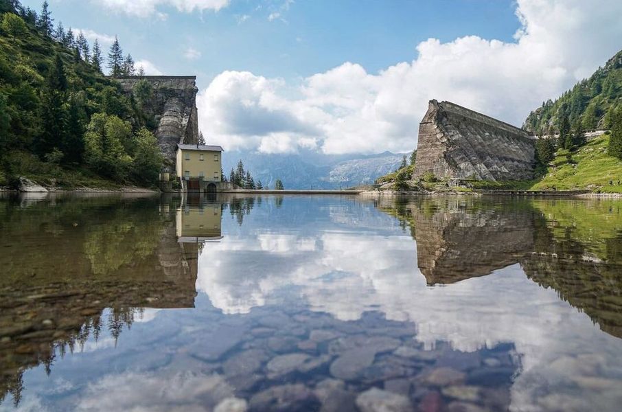
At the end of the Some meadow, marked by renovated barns, turn right at the junction and begin the steep descent. Take care with brakes. On reaching the valley floor, turn right toward Azzone-note the restored historic sawmill on your left.
From Azzone, follow the paved road uphill toward Schilpario. After passing through the hamlet of Pradella and the district of Serta, you will return to Piazzale degli Alpini, your starting point.
Original text modified, for more information and route details you can download the printable sheet or click here (Route no. 8).
Route published in collaboration with: 
Discover many other routes on the website www.orangemtb.com


Informazioni sul percorso
- Difficoltà: BC / BC
- Mesi utili: Da aprile ad ottobre
- MTB consigliata: , Full, Front
- Percorso su asfalto: 25%
- Ciclabilità: 90% in salita 95% in discesa
Mappe e Download