Sentiero del Lazaret – The green path
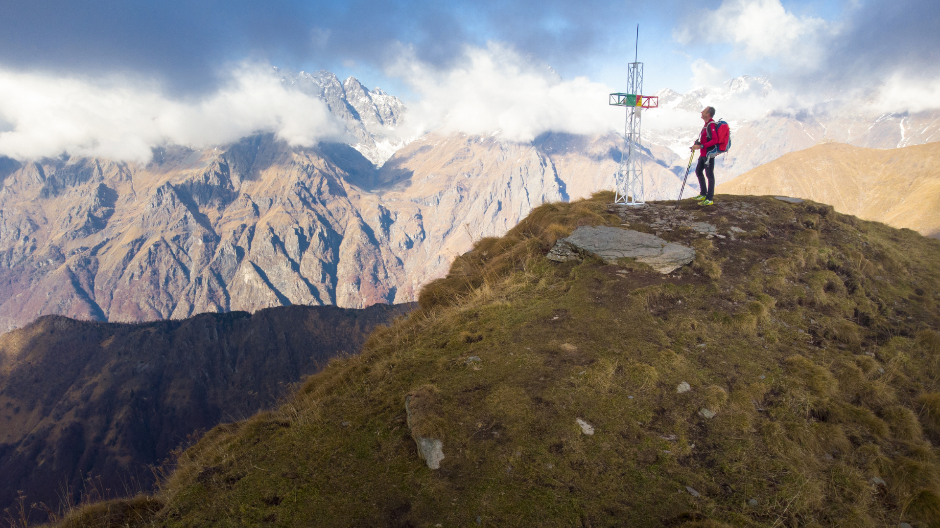
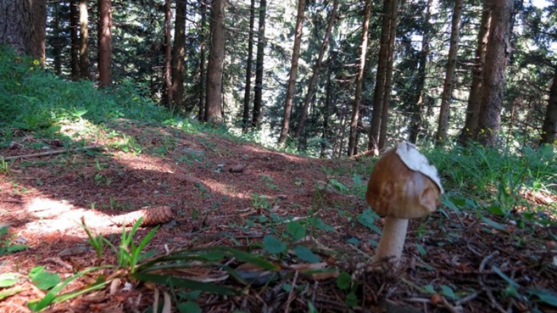
The colored trails are the result of a project to restore abandoned paths in the municipality of Colere, managed by the Gruppo Alpini. Many secondary routes that are only partially included or excluded from the CAI classification have been restored, enhanced, and marked with different colors. Traditionally, they were used for collecting mushrooms, firewood, straw, and small berries; today they represent a traditional heritage that keeps the historical memory of the community alive.
Route:
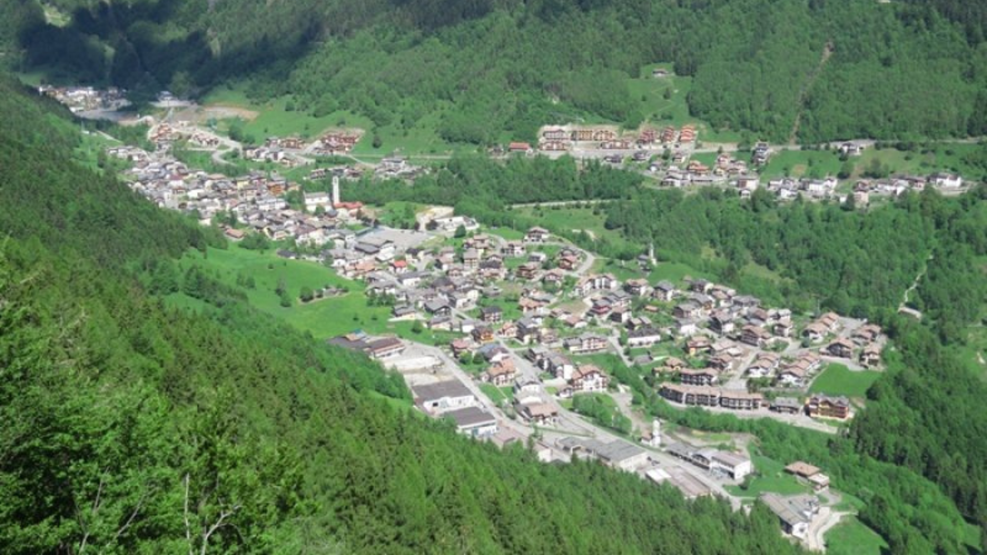
The Green trail, also called Lazaret trail, starts from the center of Colere, specifically from via Larga, which is also the starting point of the Blue Trail and the CAI 402 trail to Rifugio Albani. The first section that leads to Pian di Vione is the same for all these routes.
At this point, instead of following the signs for the Refuge, turn left onto a dirt road that winds through a forest of beeches and firs.
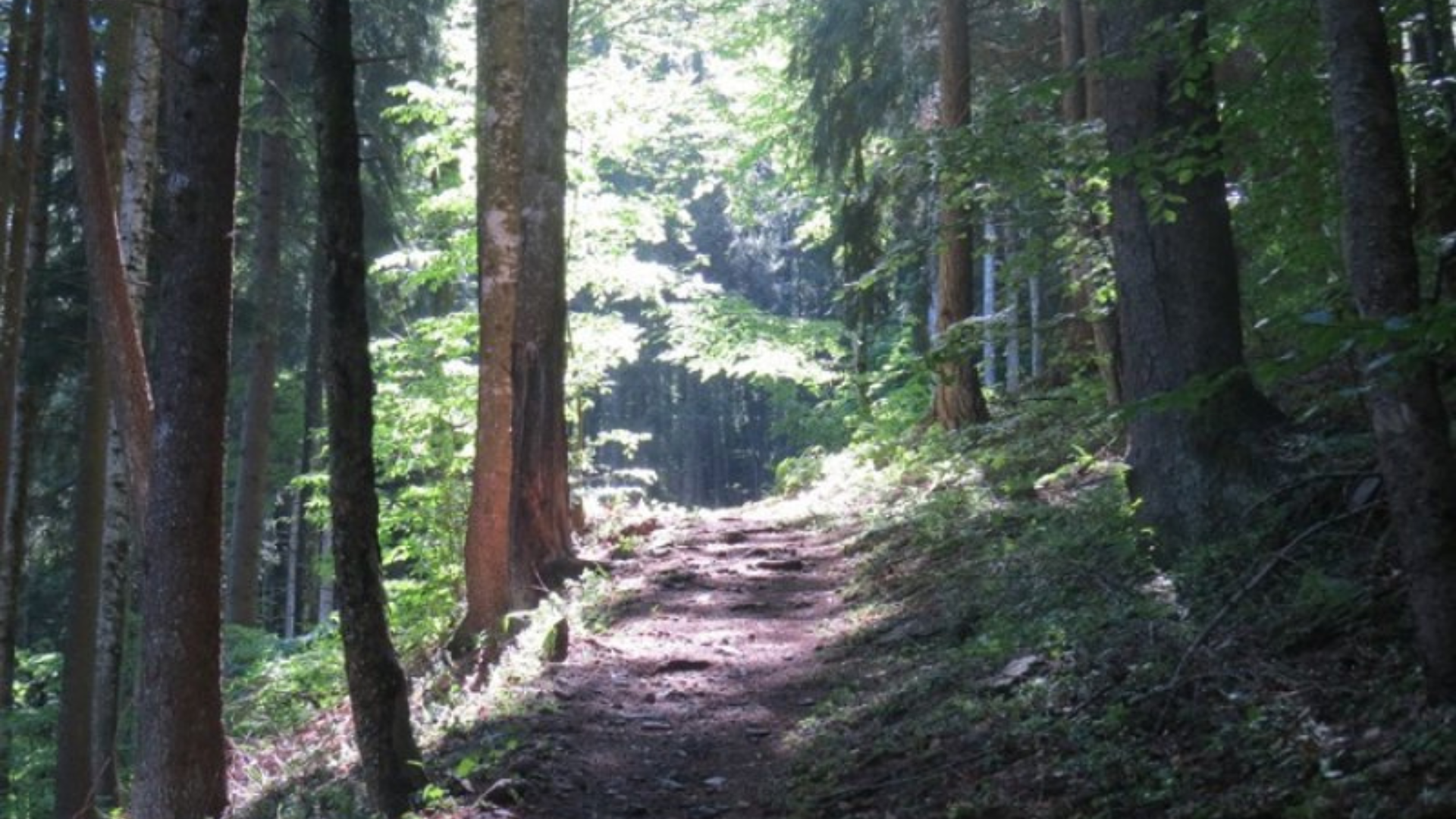
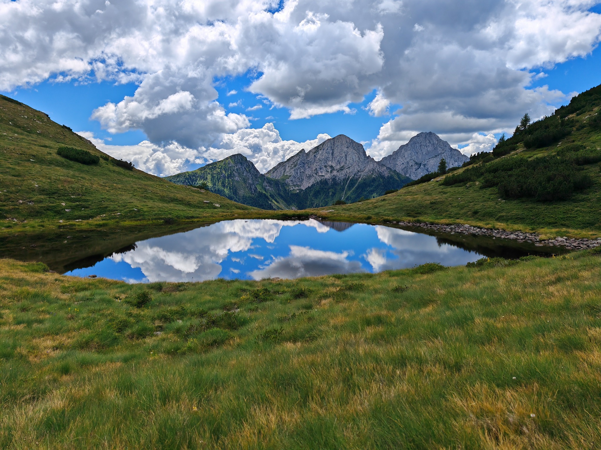
Upon reaching Fontane, where there is a water spring, leave the dirt road and take the actual trail to the right. Following it, you will climb to 1,400 meters altitude at the Lazaret, where you will find a small pond.
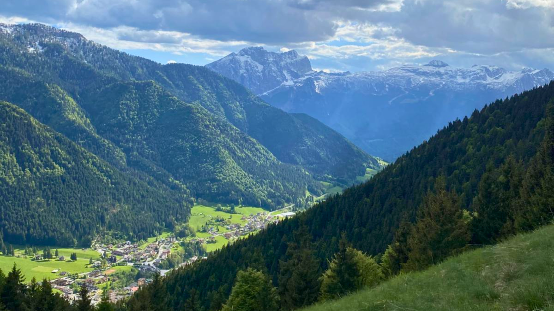
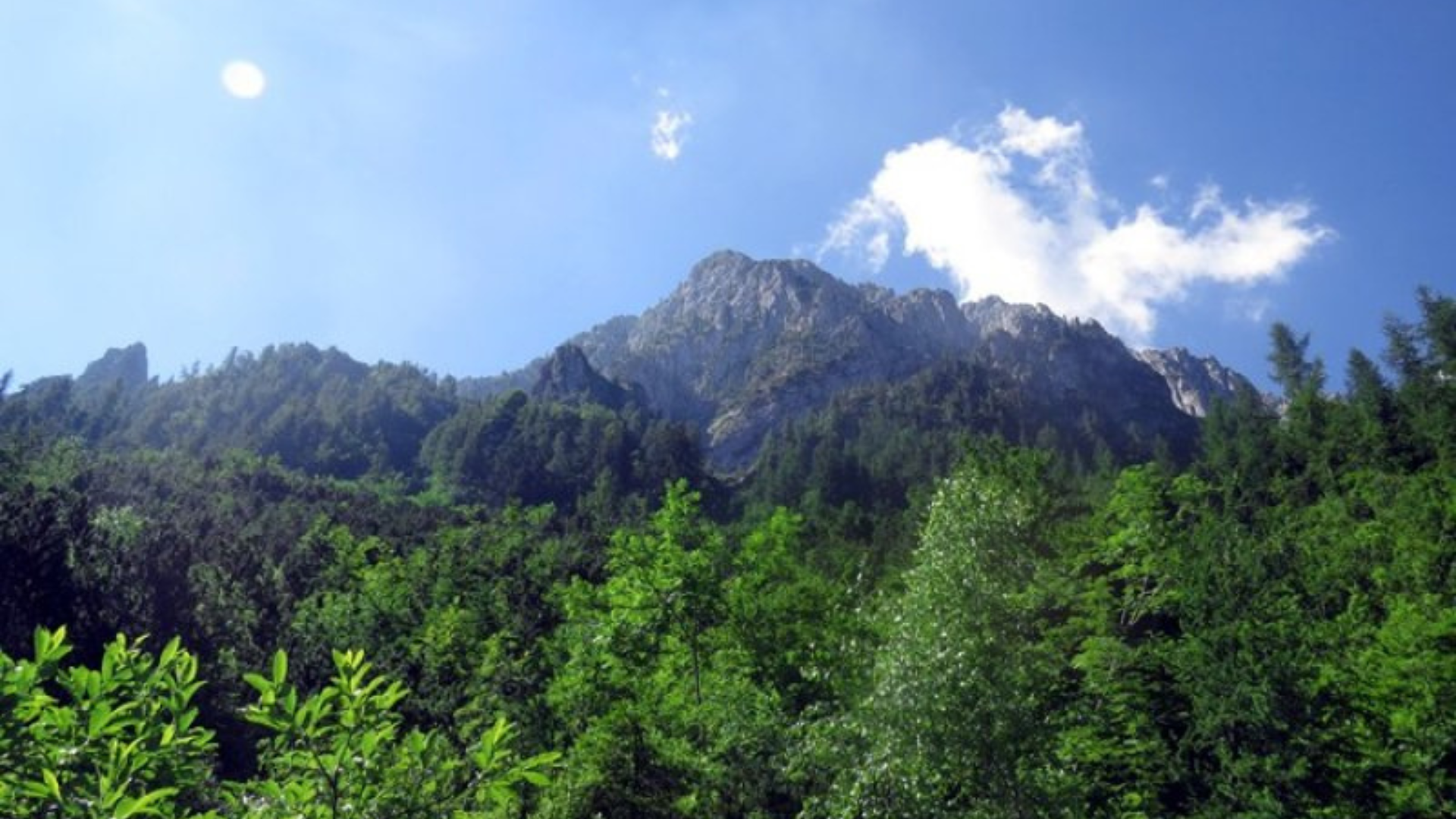
From here, the descent begins toward Doss, where a spectacular viewpoint has been created. From this point, you can admire the remains of the Gleno Dam and the Val di Scalve in all its splendour.

The descent continues along the ridge of Costa Quarantina to reach again the pine forest of Pian di Vione. Enjoy your well-deserved rest in the equipped picnic area before descending back to the village of Colere.
Download here the Gpx track of the trail and visit the official website of Gruppo Alpini Colere.
Route information
- Fino a 500: Fino a 500
Maps and Downloads