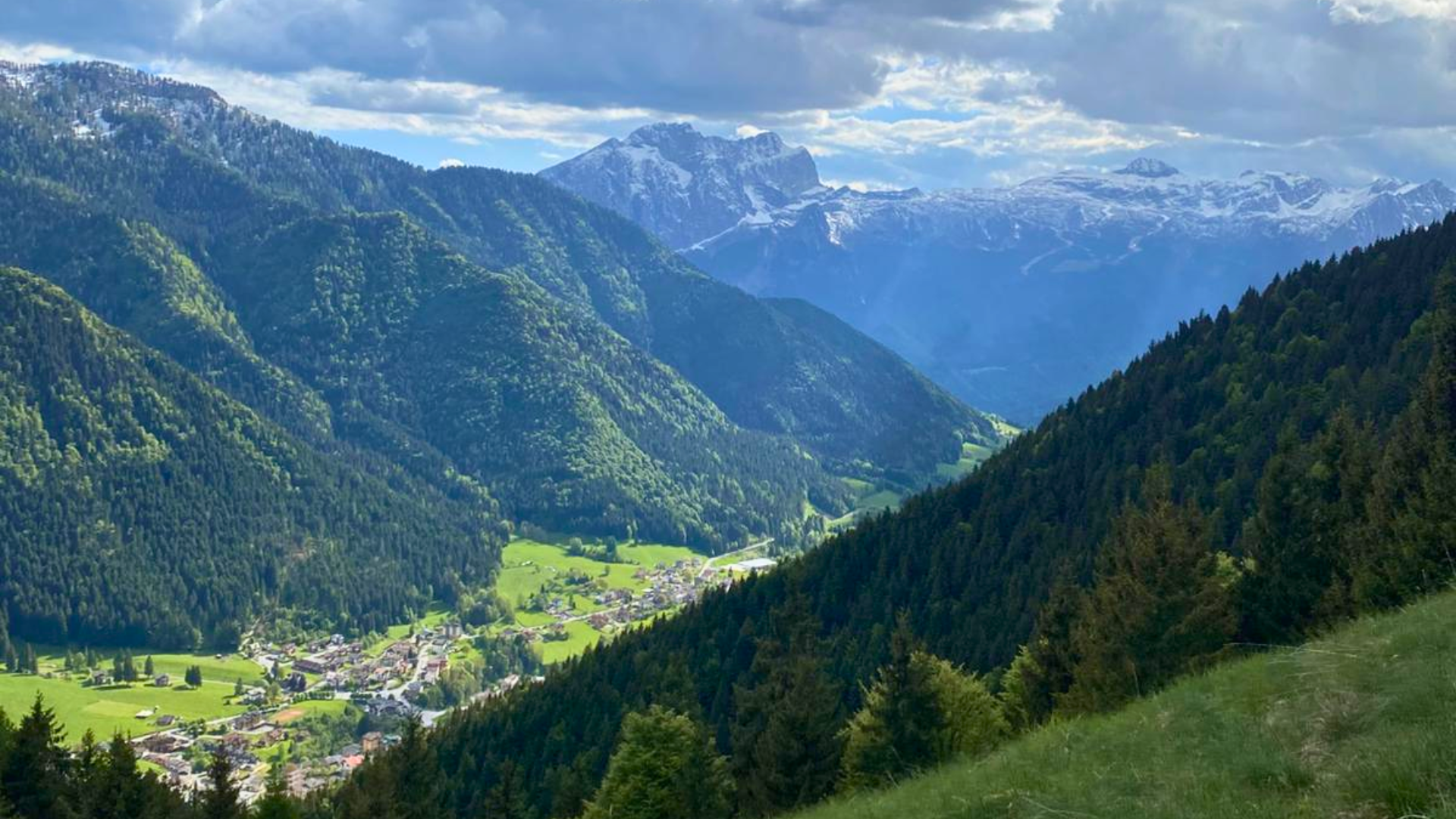
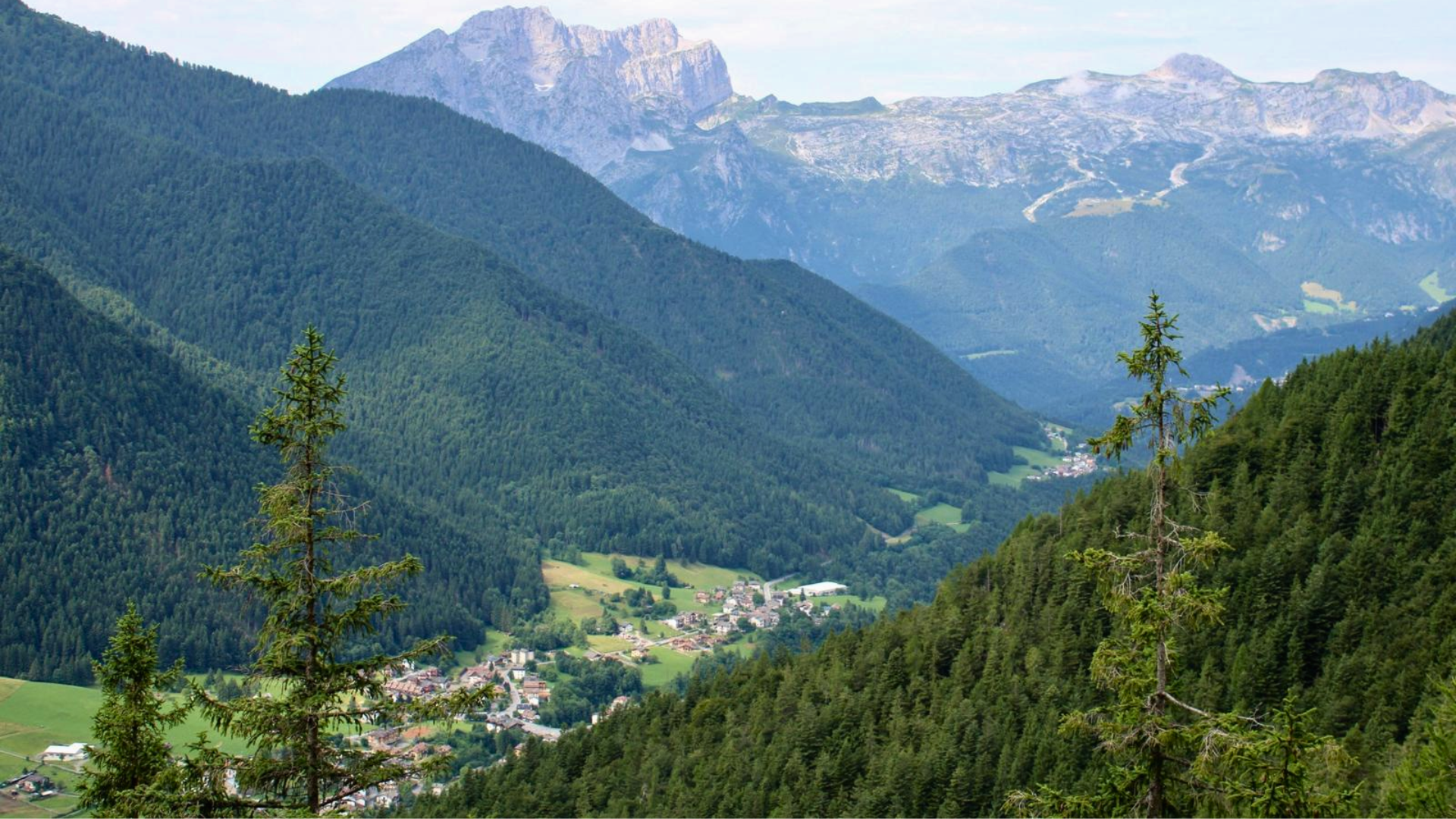
Schilpario – laghetti delle valli (valley lakes) – Busma Peak
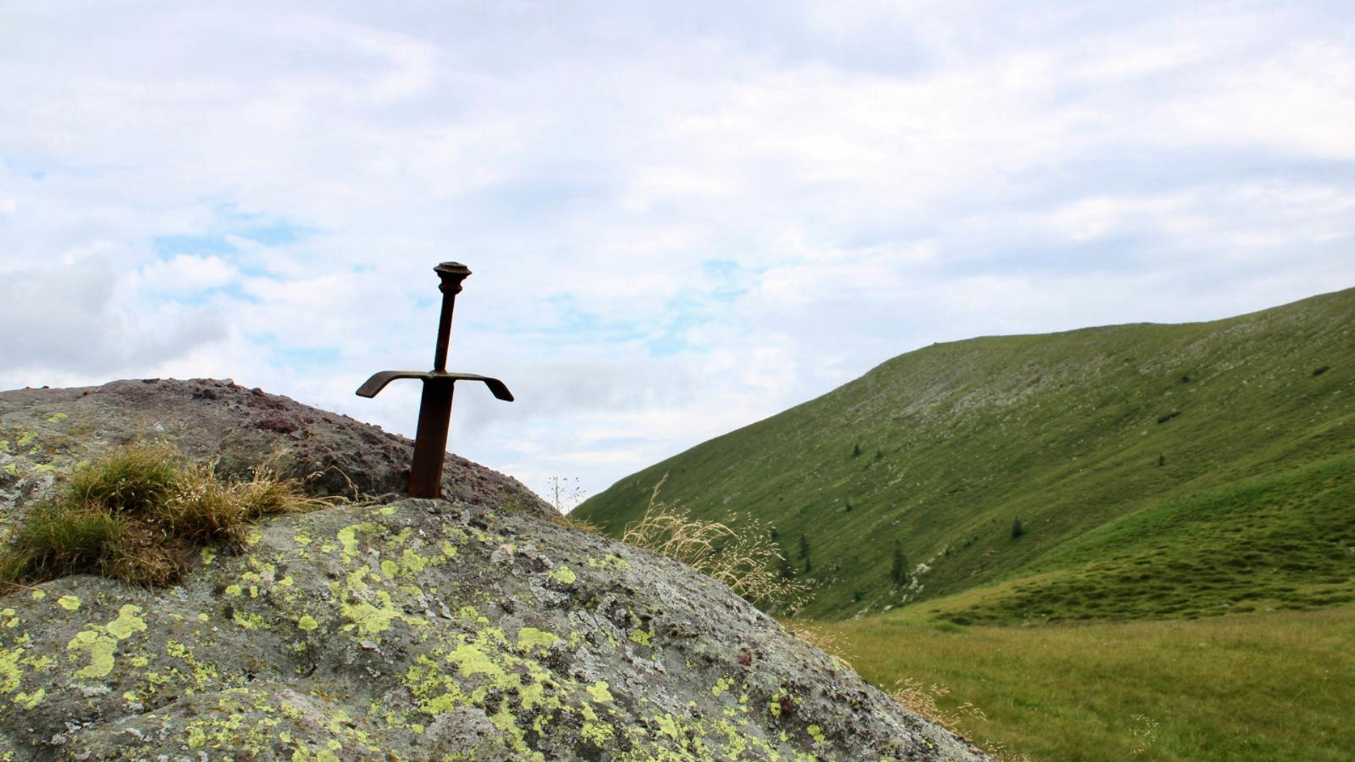
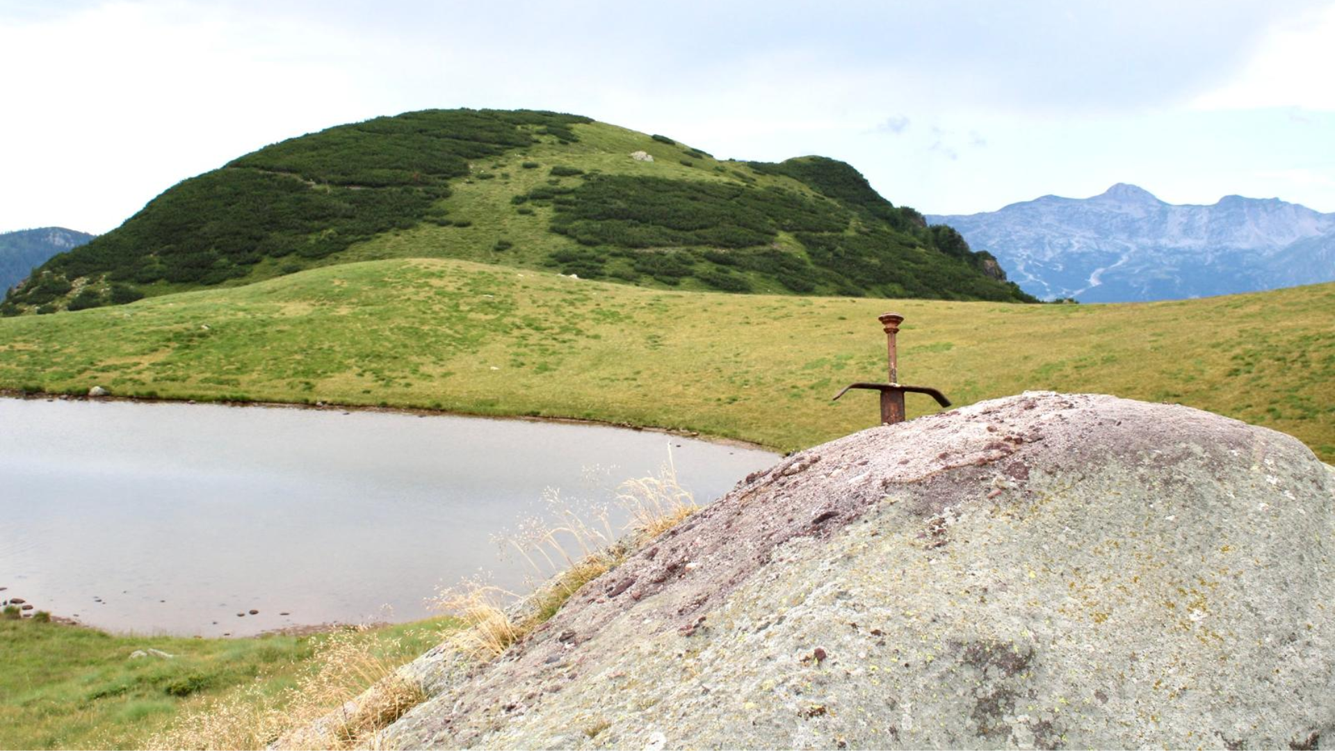
Schilpario – Laghetti delle Valli – Monte Busma is a medium-difficulty summer hike. Near the destination, you can admire (and try to pull out!) the famous sword in the rock located above the largest lake.
Departure
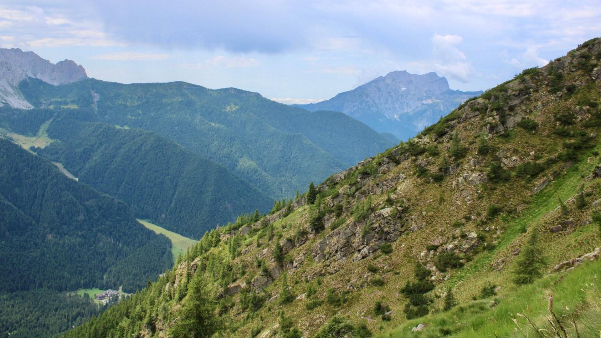
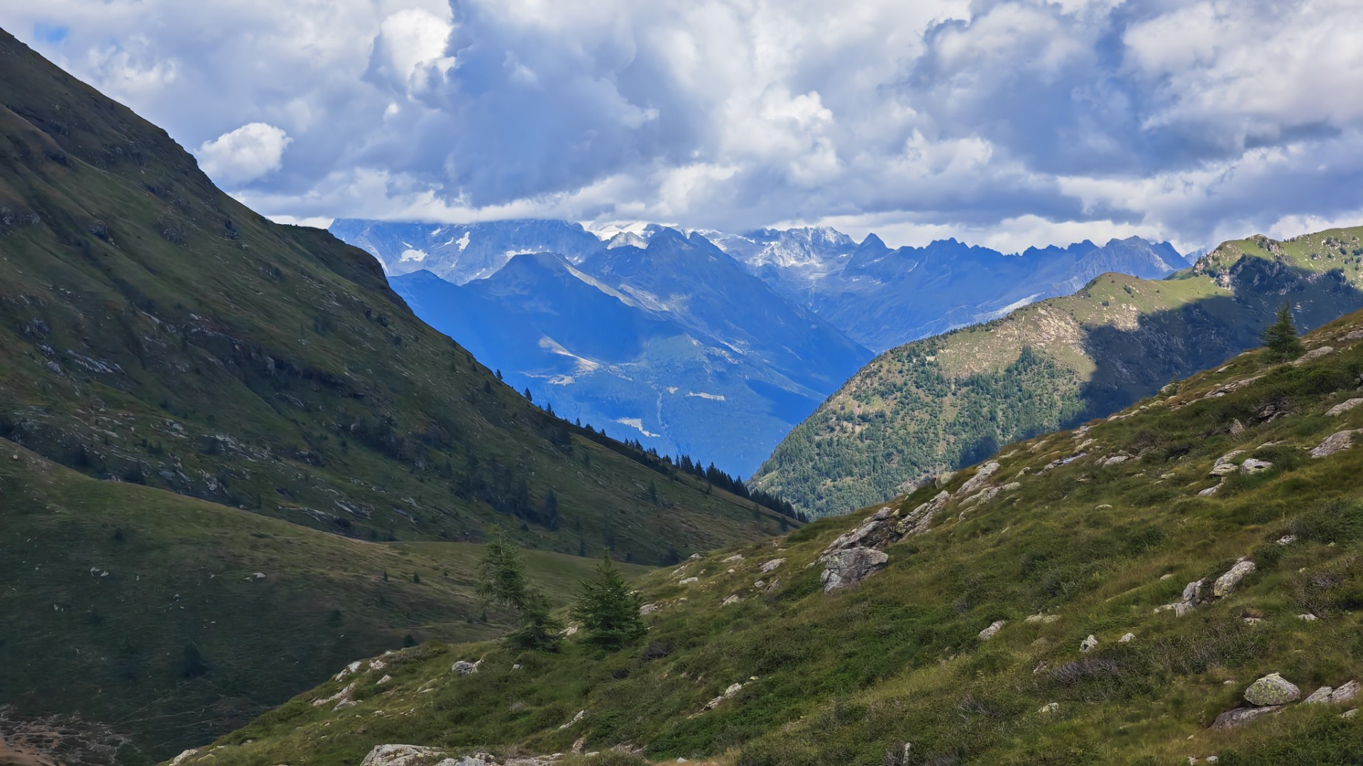
The route starts from Schilpario, following CAI trail 415 from the locality of Sant’Elisabetta. From here begins the climb through the forest.
Route
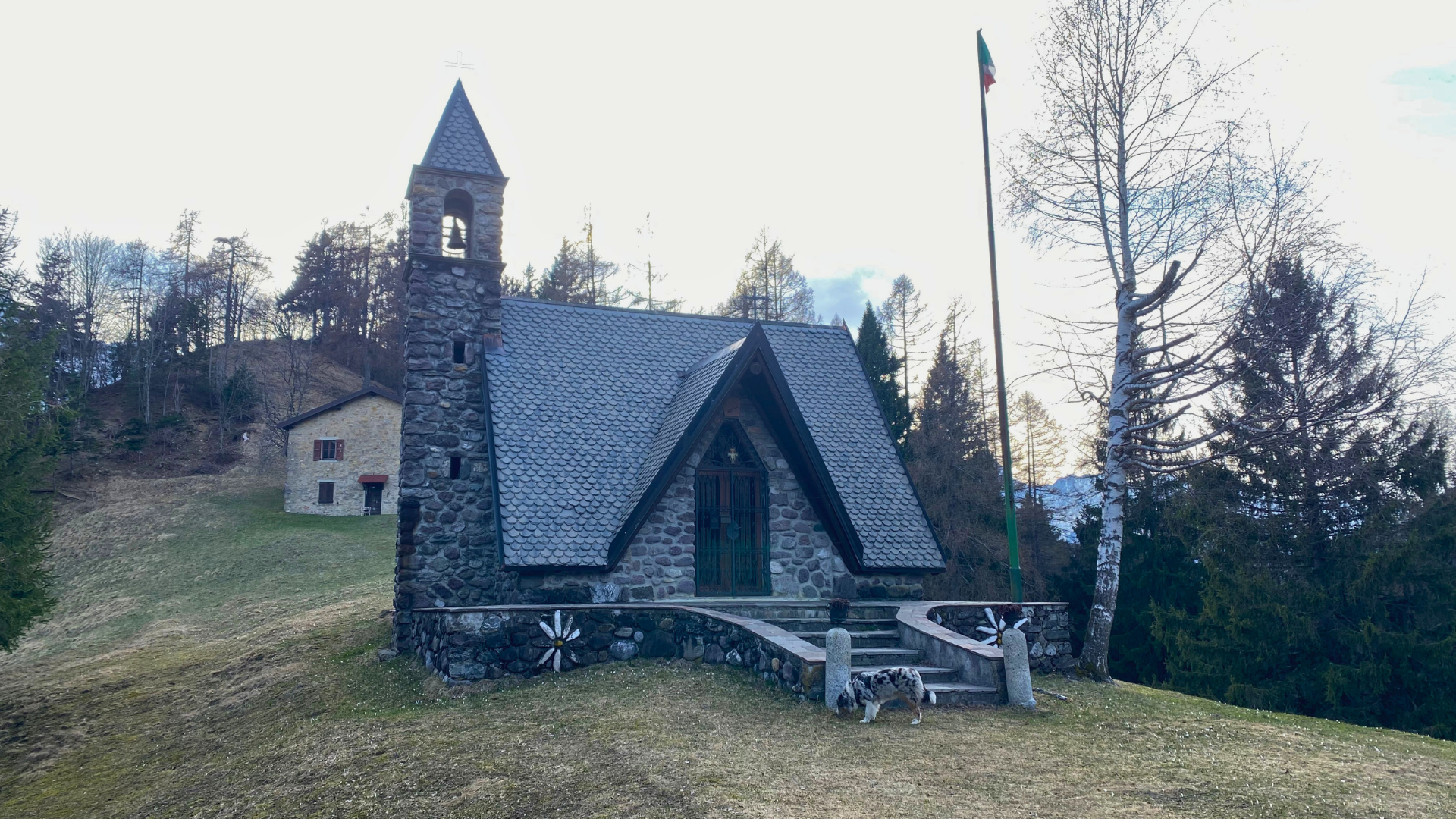
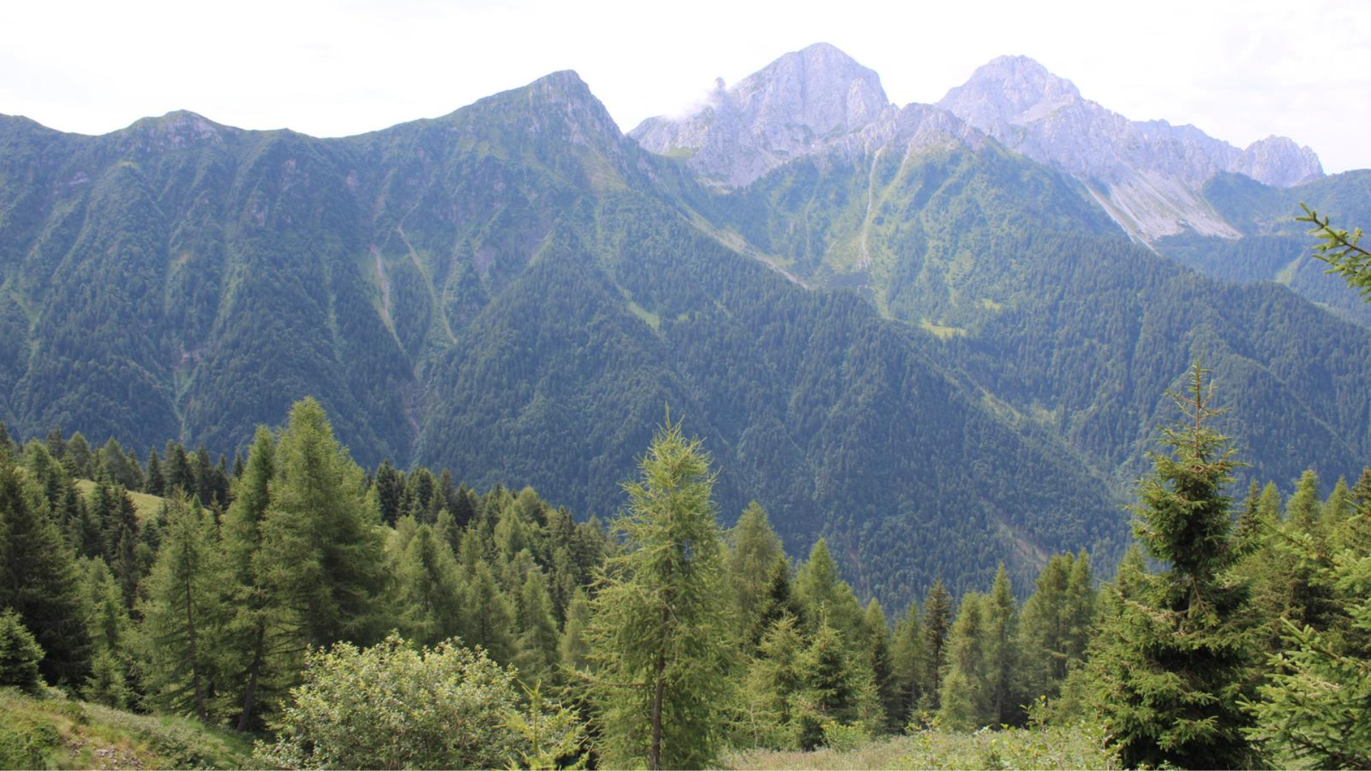
Shortly after the start, you will reach a fork: keep right following CAI signs (straight leads to Grom). The trail climbs steadily through the woods with several switchbacks, passing old charcoal kilns. After leaving one on your right, you reach the ruins of Roccolo di Busmino (1639 m).
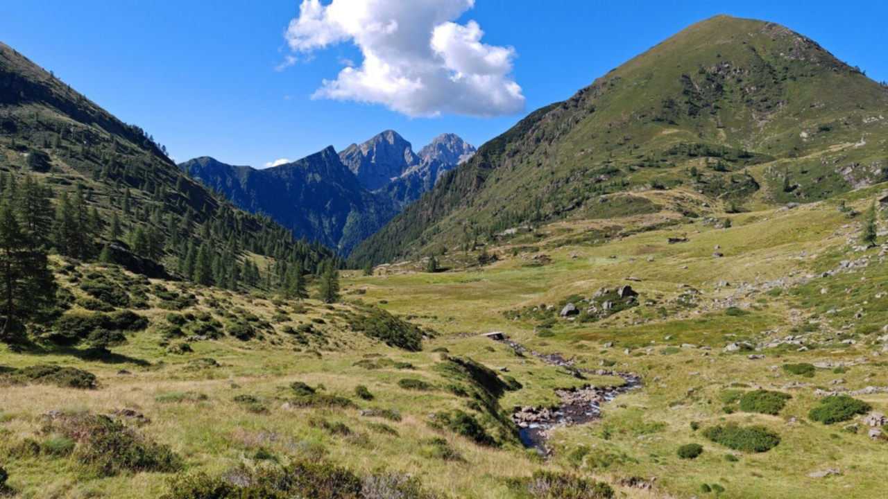
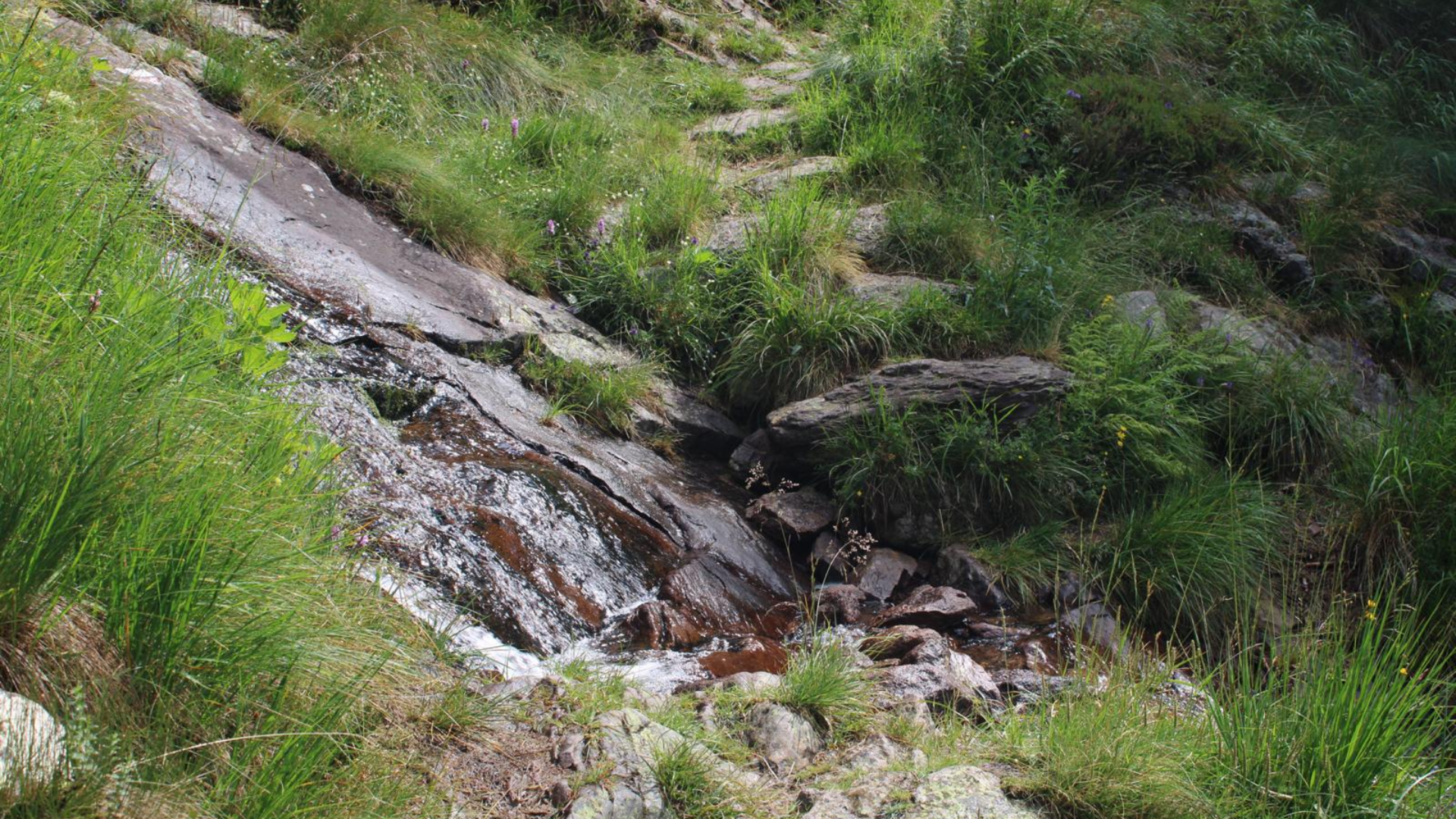
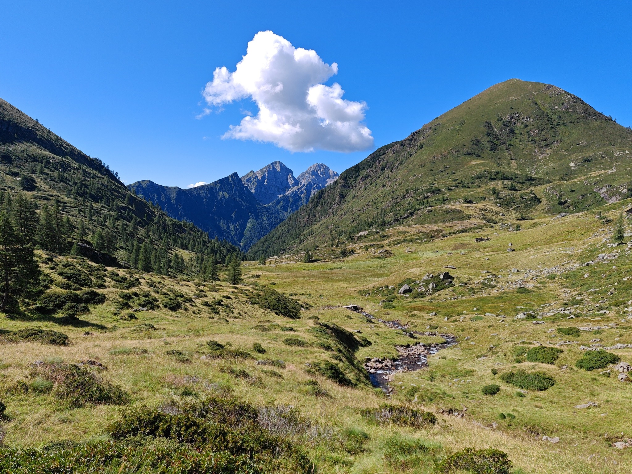
After crossing a stream and a short climb, you reach a meadow marking the Monte Busma pasture area. The trail skirts it on the left, continuing uphill along grassy switchbacks at the forest edge.
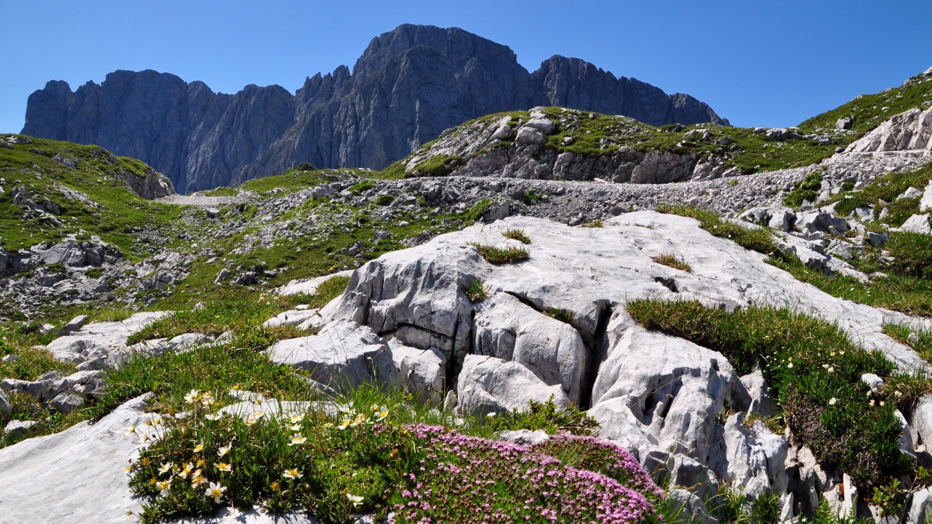
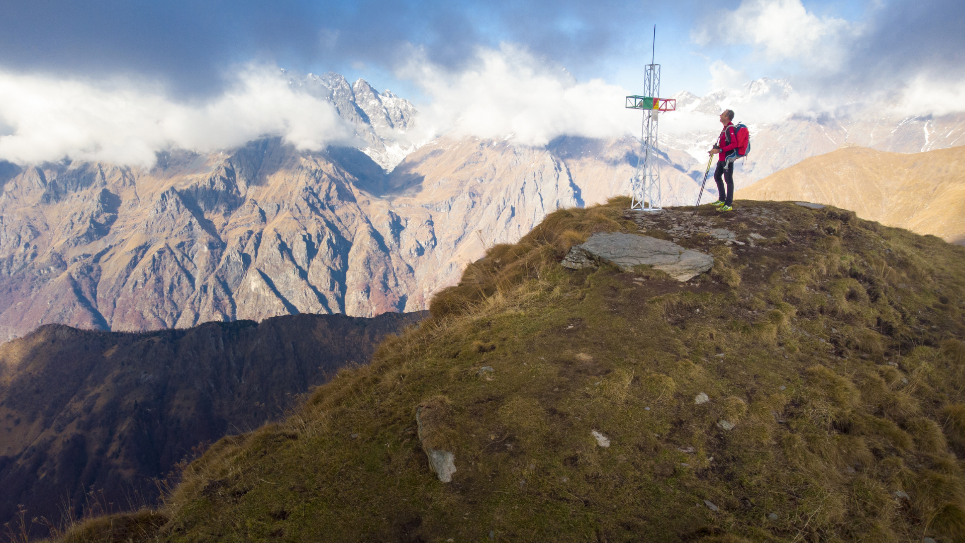
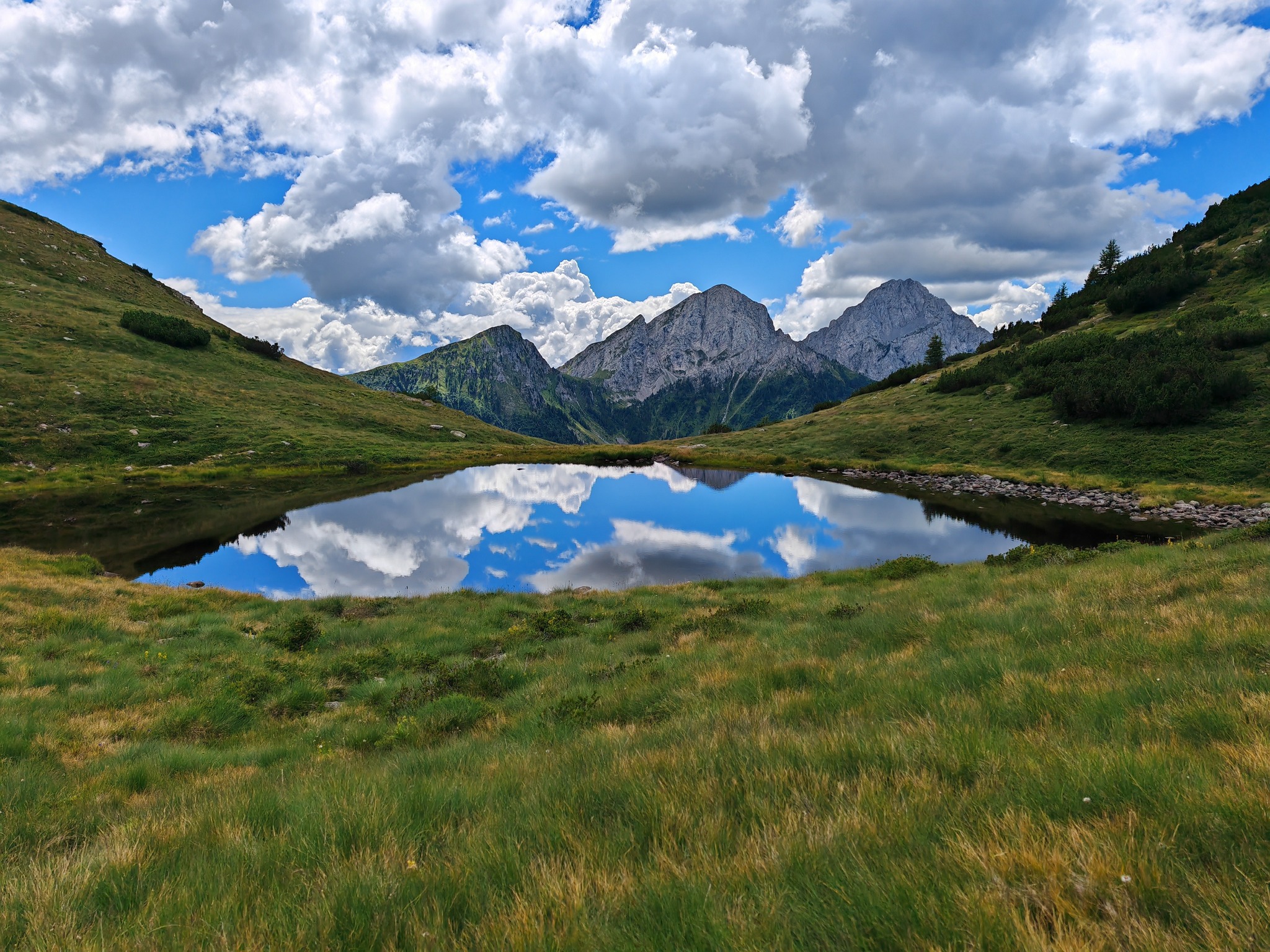
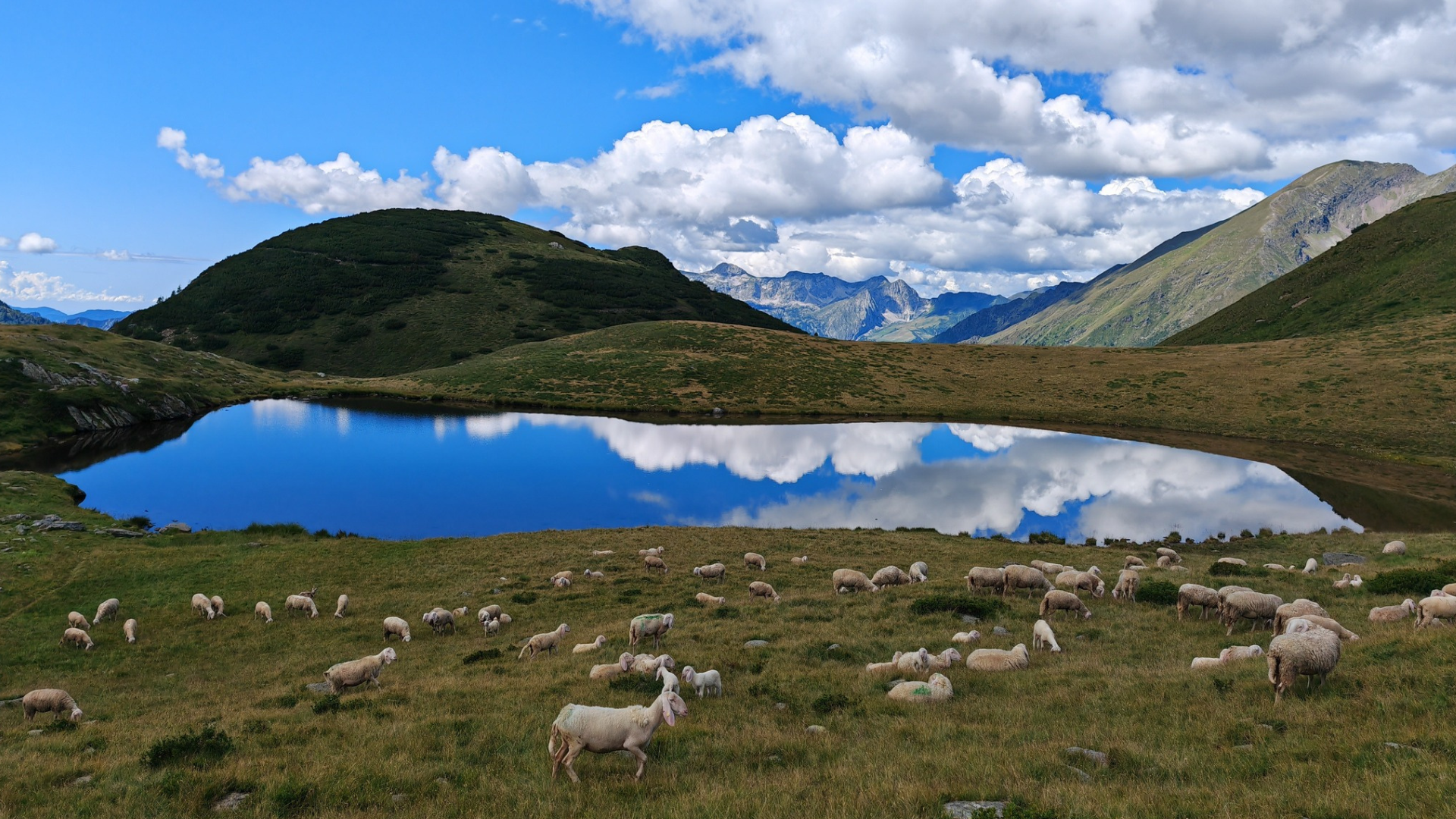
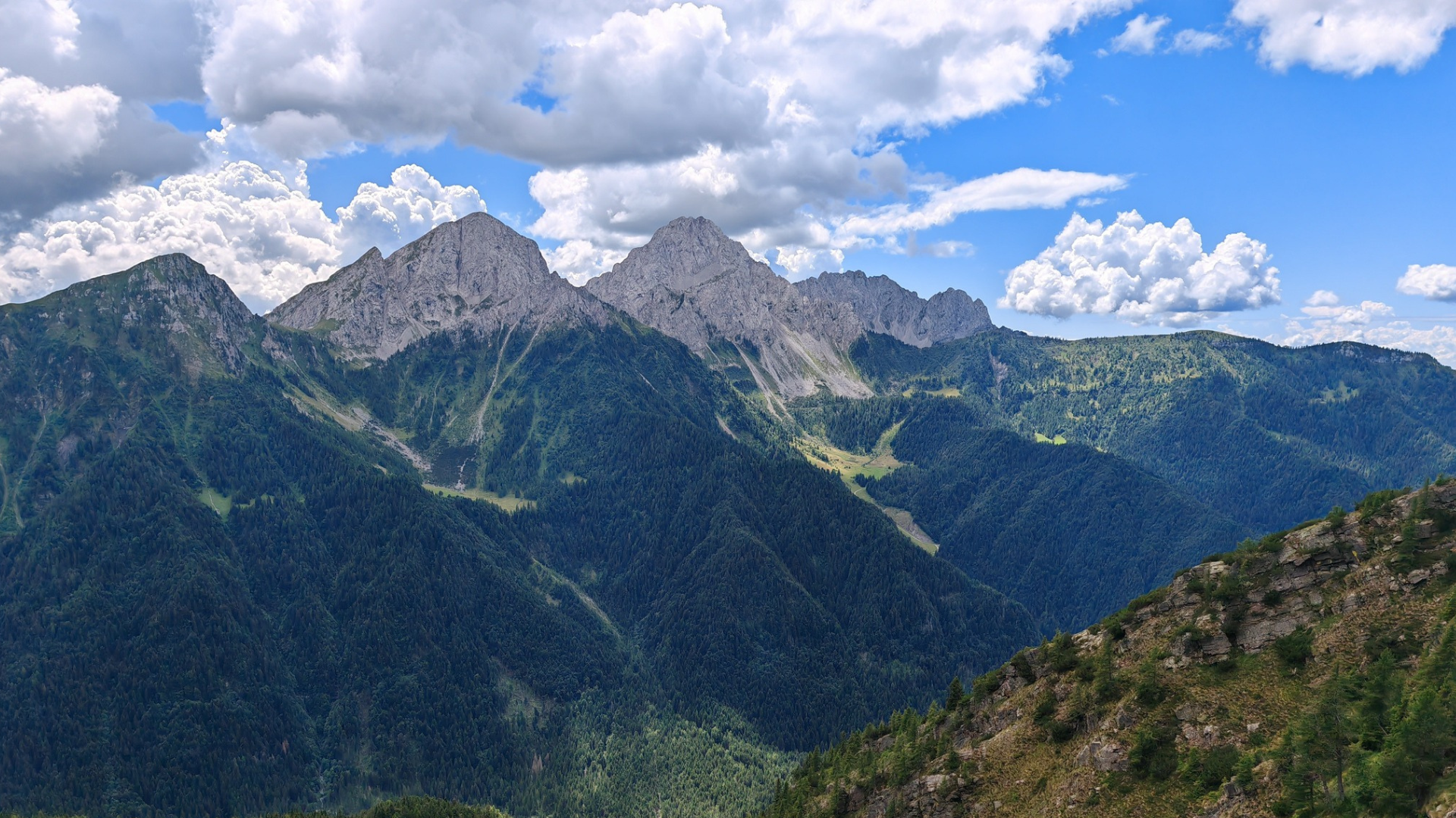
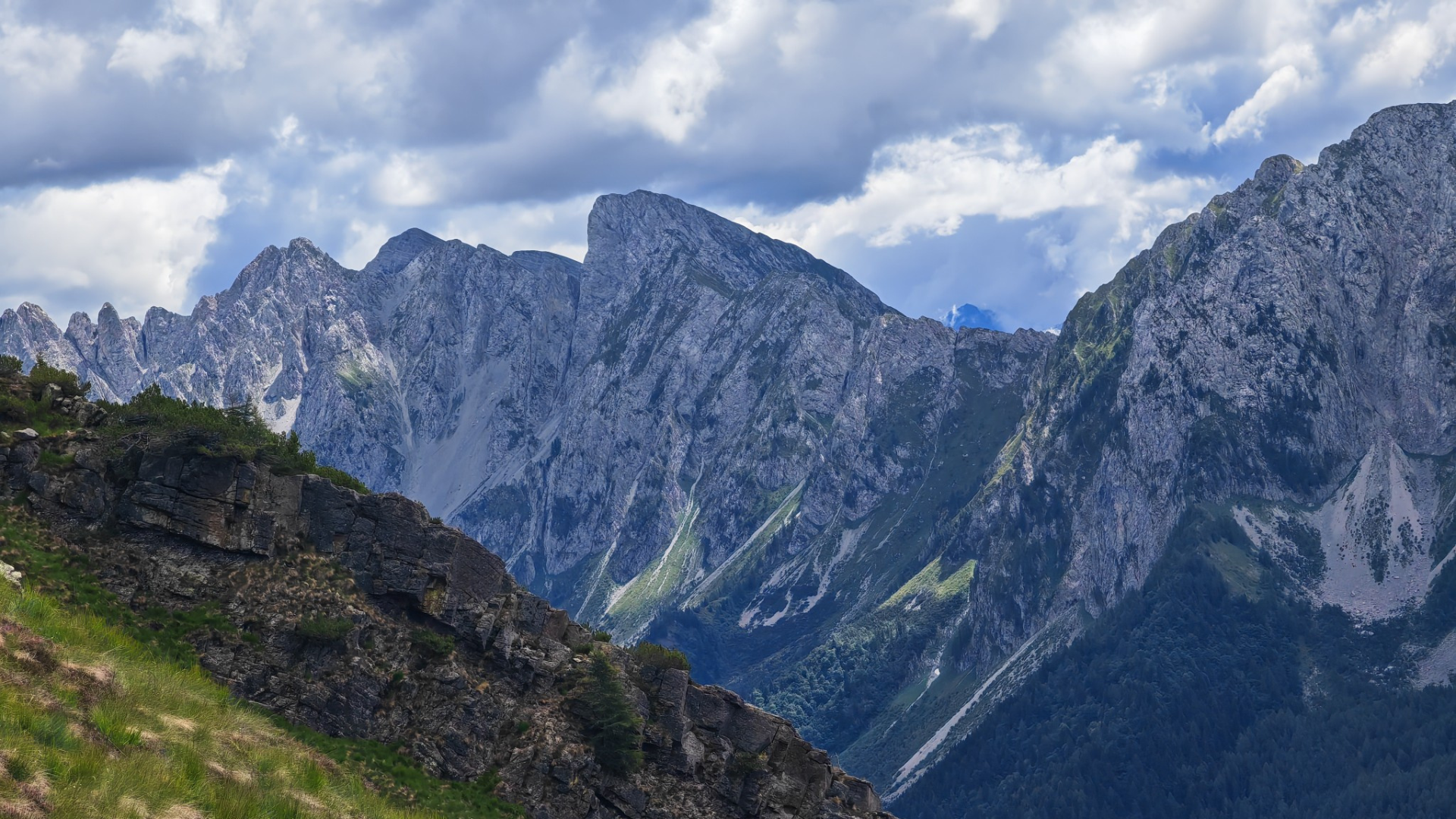
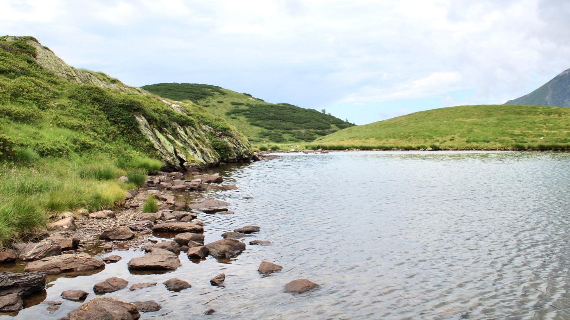
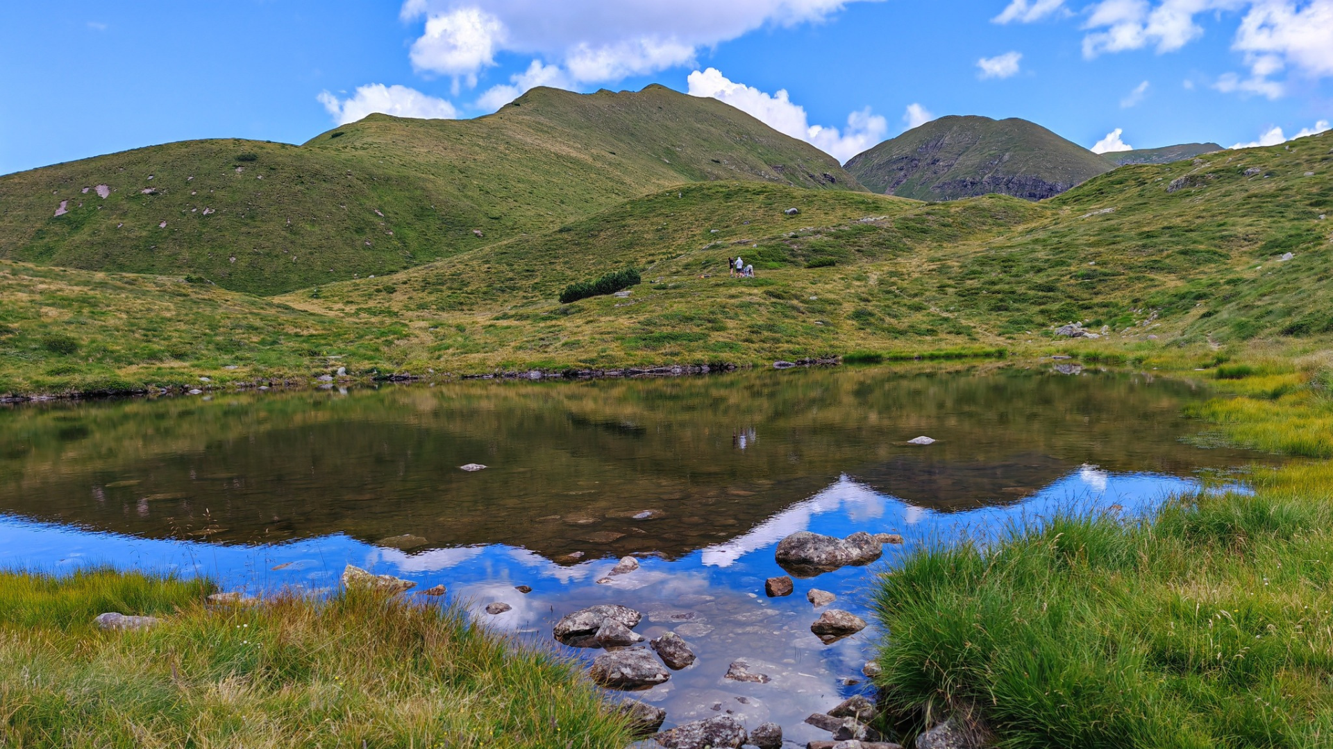
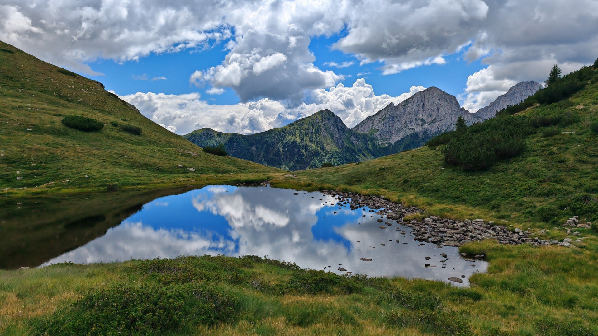
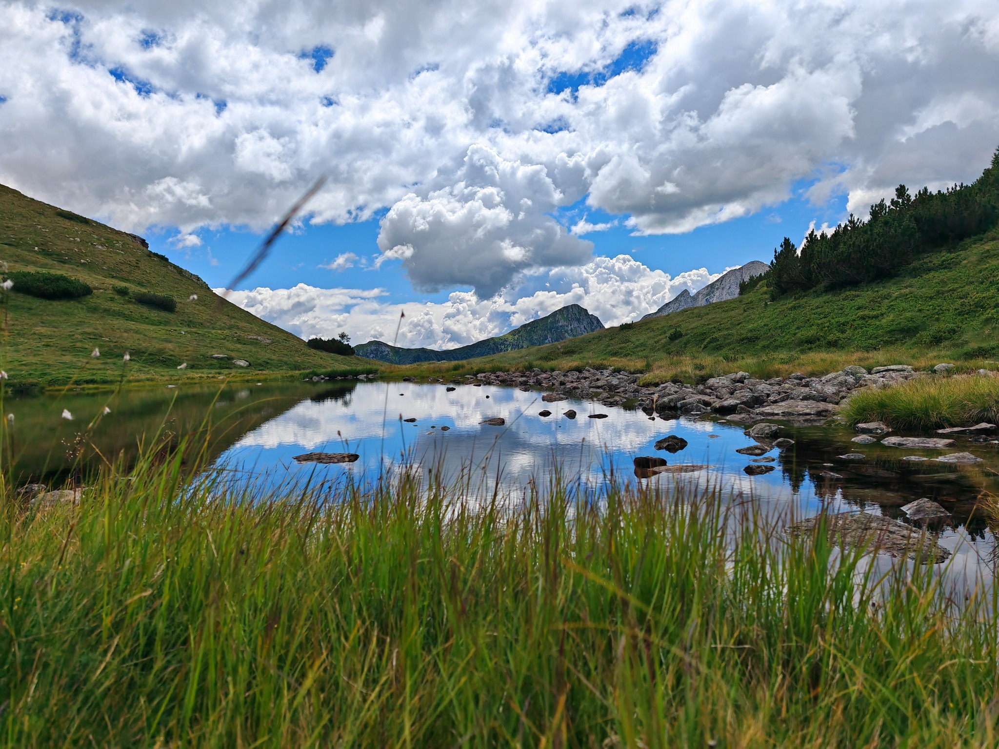
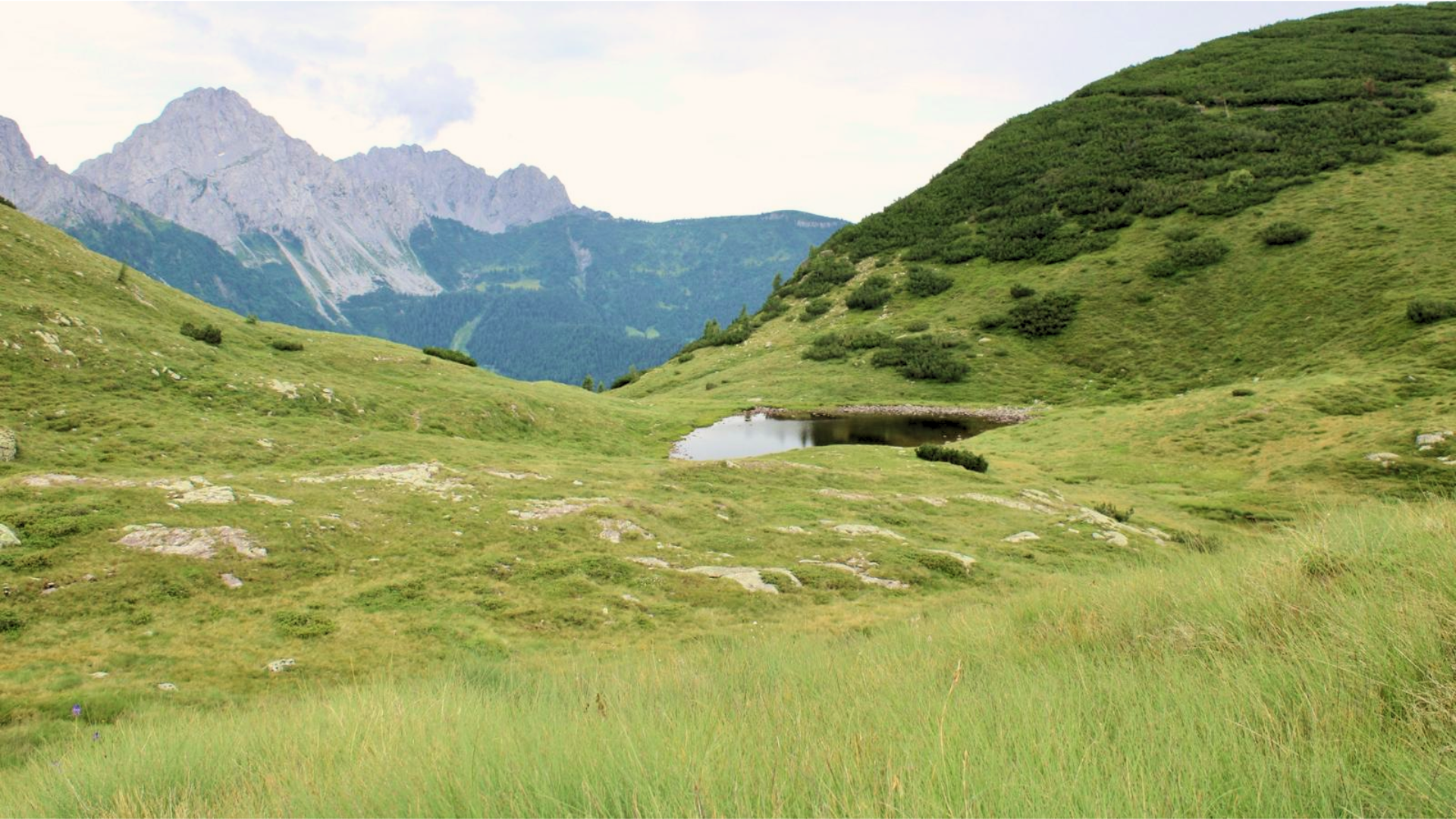
At the saddle, you will see the first of the three lakes. The path continues northeast along the right side of the lake, with the second and largest lake on your left (1979 m). Continuing slightly uphill, you reach the highest point (1994 m), where the third lake is located, sometimes dry.
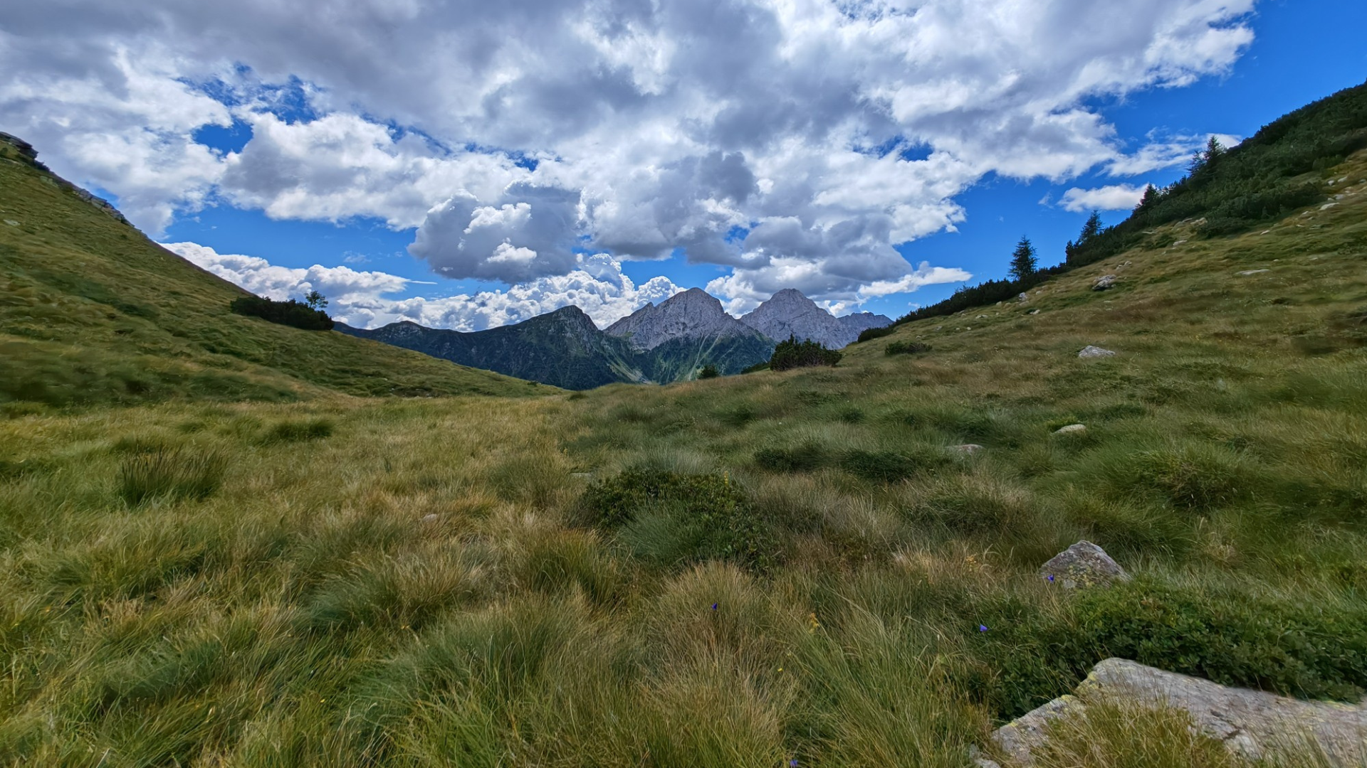
Shortly after the third lake, you reach a junction: continue straight to reach Passo del Vivione in about 40 minutes, or turn right toward Monte Busma (about 30 minutes).
Return
For the return, you can retrace your steps or choose a scenic alternative. From Passo del Vivione, follow the old SS 294 road. Alternatively, take the CAI 427 “Sentiero delle Torbiere”, starting just before the pass (località Gasffione). In about one hour, you will reach Fondi, then follow the paved road back to Schilpario.
GPS Track
View the route and download the GPX: HERE
Route information
- Fino a 1000: Fino a 1000
- 415: 415