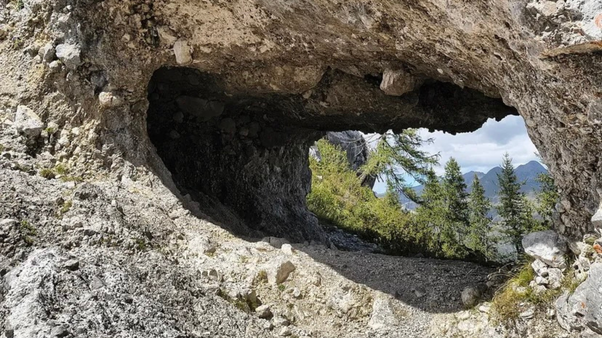
Trekking Azzone – Corna Buca (the holed rock)
A medium difficult hike through sunny mountain pastures and mountainous landscapes, taking you from the small village of Azzone to the Corna Buca (or Corna Busa) pass, which will amaze you with its unique shape.
Departure
The route starts from Azzone, specifically from the car park of the sports field located at the end of the village, after the church. COORDINATES HERE
Route
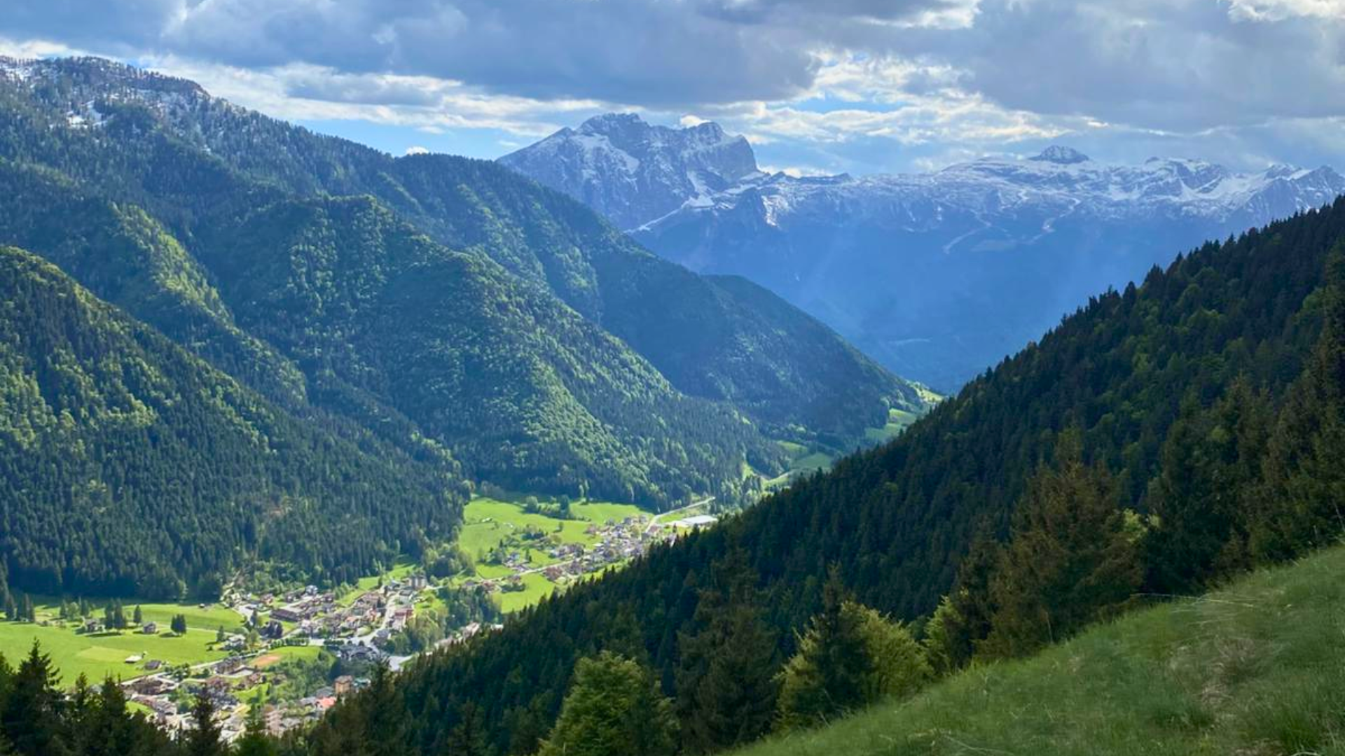
From here, take trail 425 towards ‘Some’, climbing alongside Val Nena. The first section is along a forest road that climbs very steeply through the woods, emerging in the meadows of Le Some where you will find the Bois farmstead. The numerous huts and barns in the area bear witness to the past importance of alpine pastures and the village’s purely agricultural economy. Continue along an easy dirt road heading east, passing a renovated hut on the left and first crossing trail CAI 425/A, which ends here.
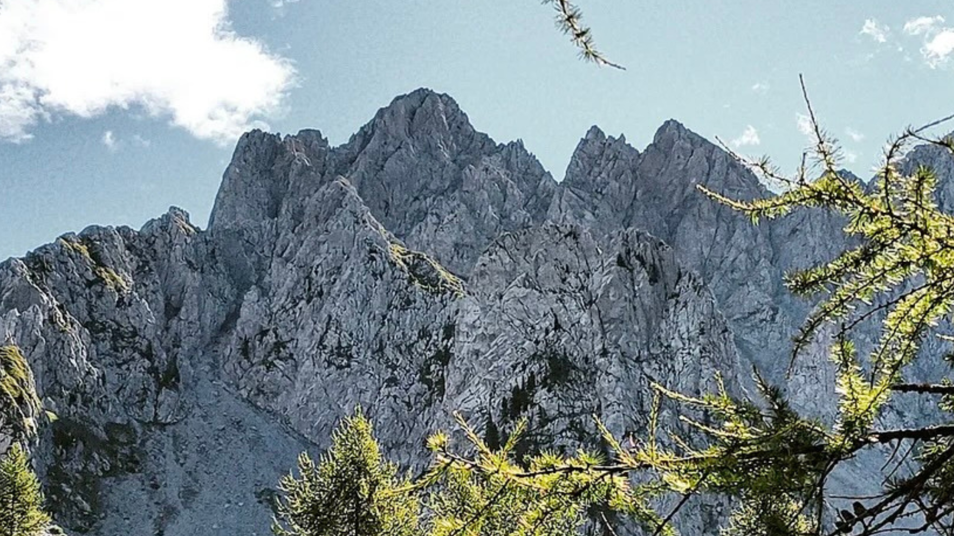
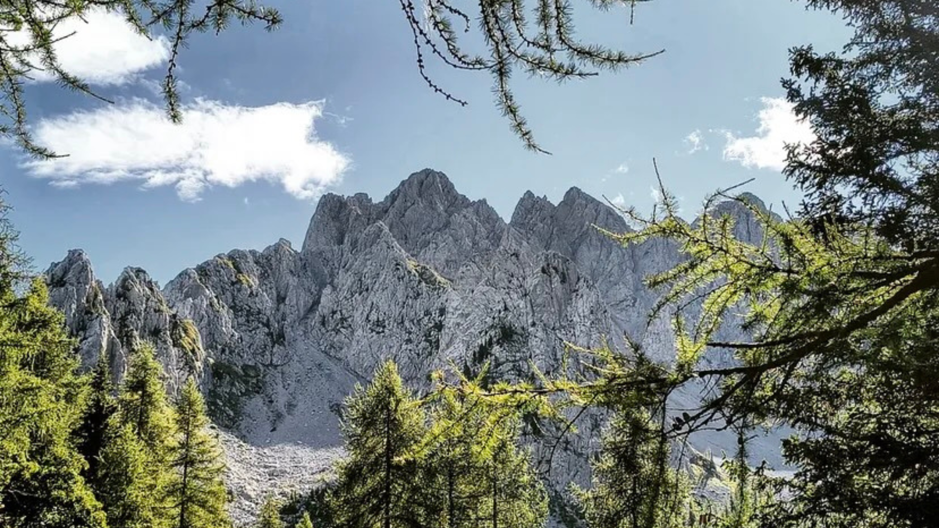
Follow a flat section of road enclosed between two meadows and, after crossing a stream in the shade of a row of trees, enter the pasture called Negrino, dominated by a completely renovated hut. Leaving the building on your left, make a wide turn and cross a strip of woodland that divides the first station of the mountain pasture from the second. After this short slope, cross the next pasture (1,781 m). From this hut, on whose walls you can see interesting engravings, you can enjoy a beautiful view of Pizzo del Diavolo peeking out from behind Passo della Manina (to the north-west)
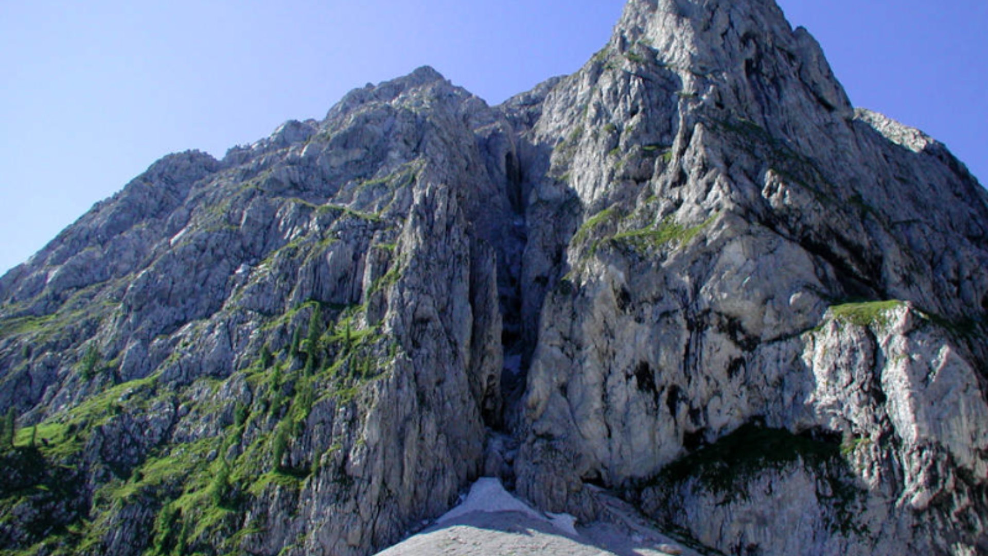
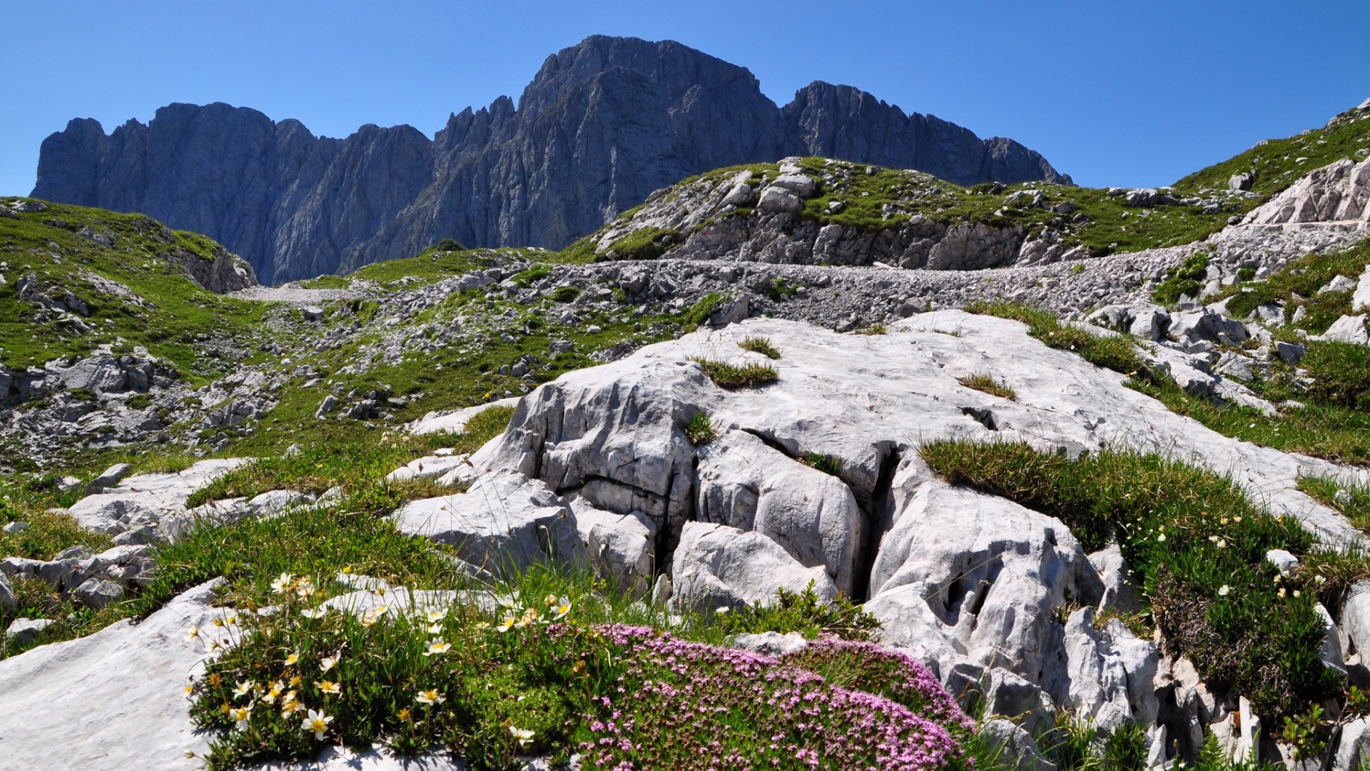
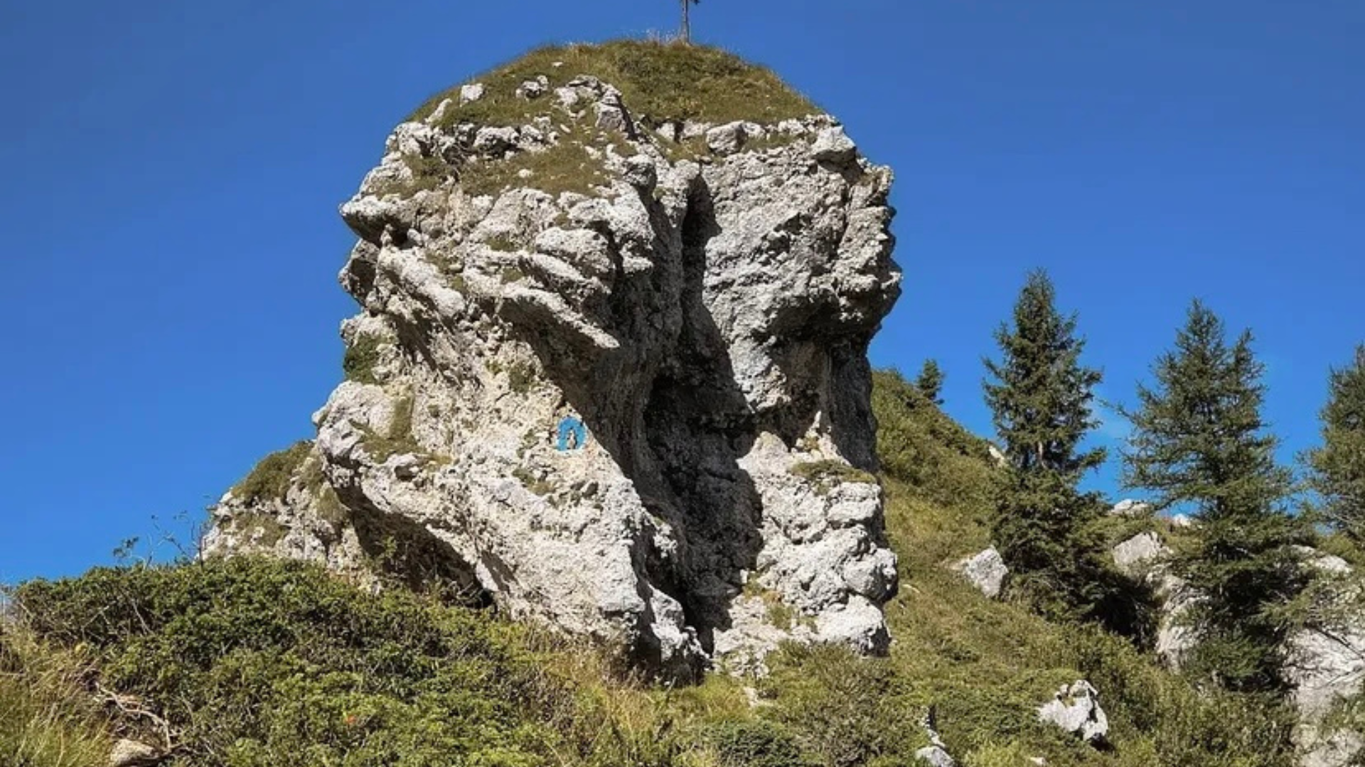
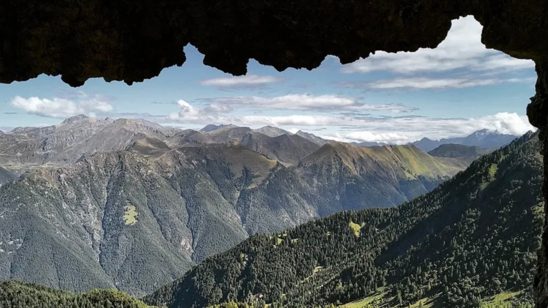
You gain altitude by walking halfway up the slope between limestone boulders and in about twenty minutes you reach the Corna Busa Pass (1,940 m). Here you cross the CAI 423 trail which, climbing from Schilpario, leads to the summit of Pizzo Camino. Just below the pass, on the right, follow trail no. 83 which, crossing the scree slopes north of Pizzo Camino, leads to Passo di Varicla, on the border with the province of Brescia. To the left of the pass, climbing up the ridge, you can easily reach the characteristic rock formation that gives the pass its name.
Descent
It is advisable to descend along the same route you climbed, or along trail 423, which climbs from Schilpario (in an hour and a half’s walk you will reach the village). From the Bois hut, in the locality of Some, it is possible to reach the starting point by another route, as indicated by the signs. Turn left and the road, which is initially unpaved, becomes paved, leading to the entrance to the Giovetto reserve and from there to the starting point.
Route information
- Fino a 1000: Fino a 1000
- 425: 425
- Scalve.it, Michela Bettoni, Bodhikers: Scalve.it, Michela Bettoni, Bodhikers