La Via Decia – The Iron Forest Trail
A valley, a river, a journey.
A project born in 2023 to mark one hundred years since the Gleno Disaster: La Via Decia – The Iron Forest Trail.
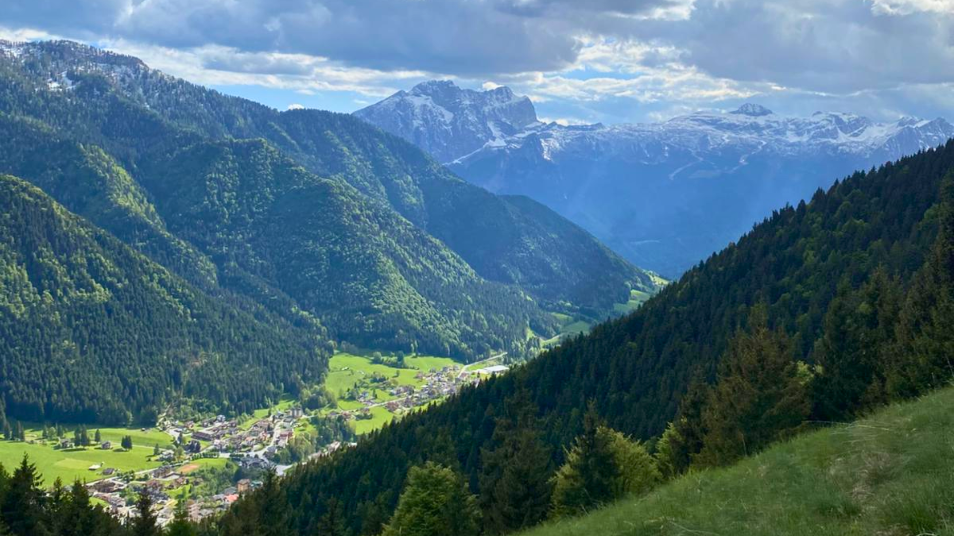
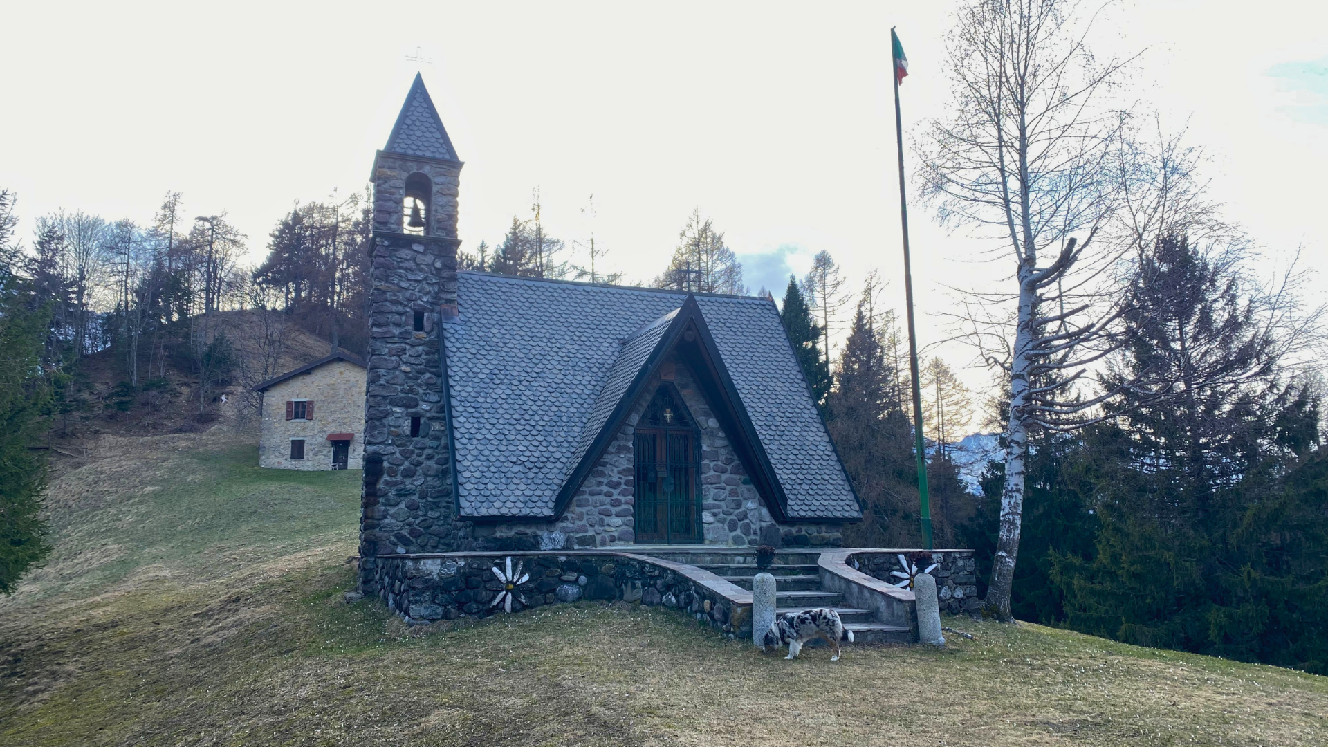
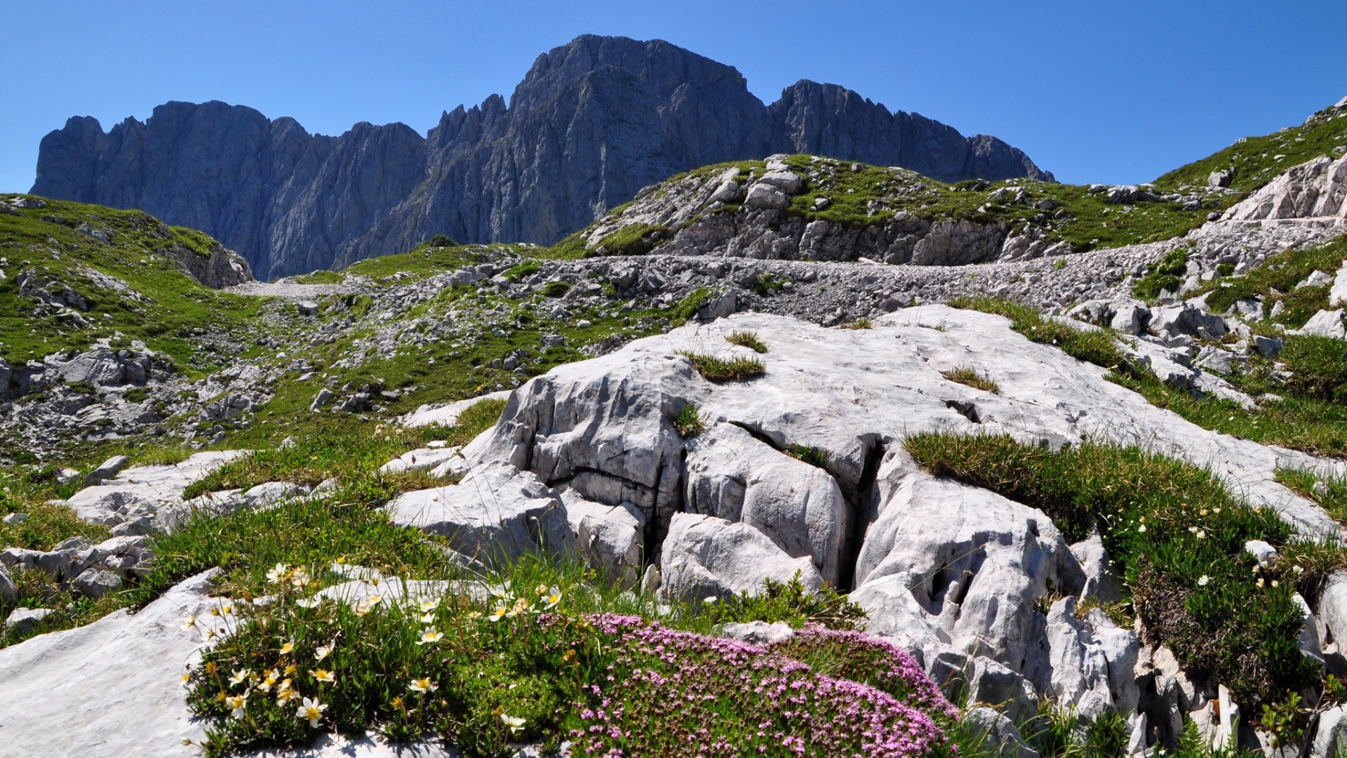
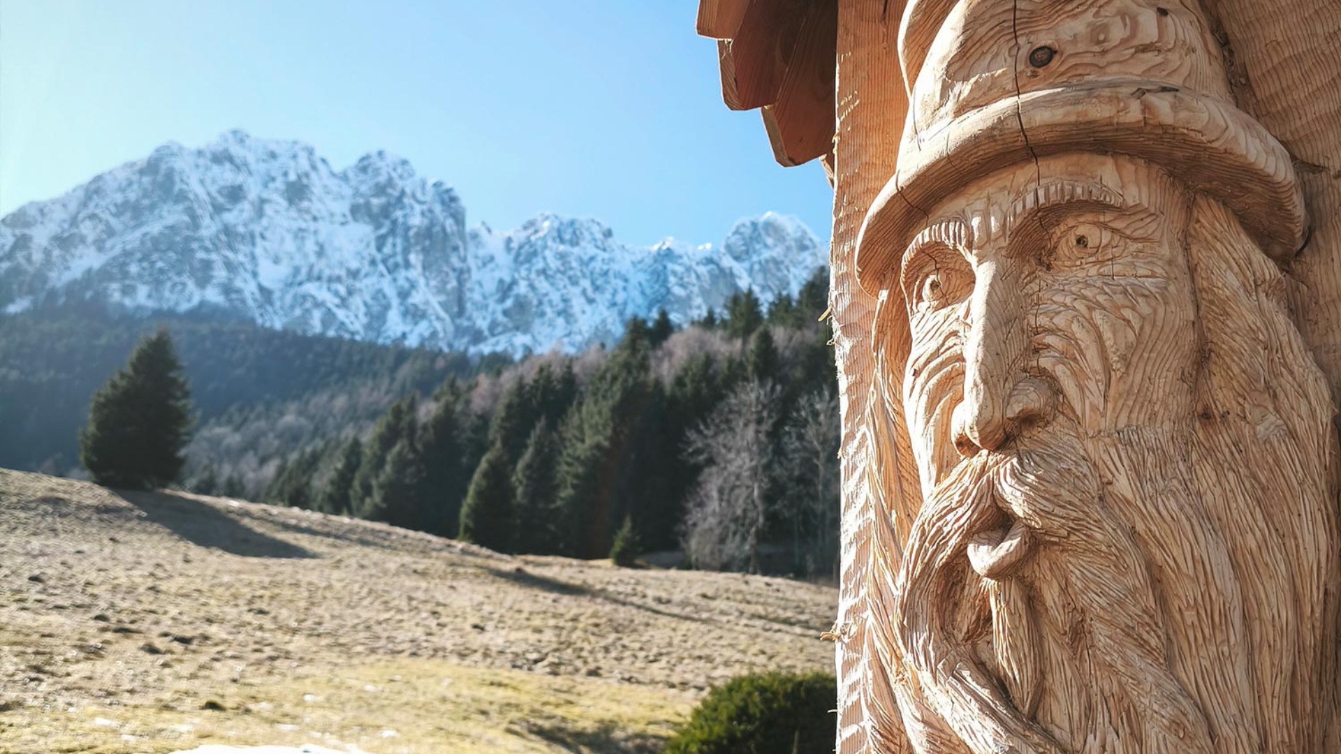
A 95 km route that lets you fully explore the treasures of Val di Scalve. The trail winds through its main towns, revealing breathtaking landscapes, churches and remnants of the past.
Technical Information
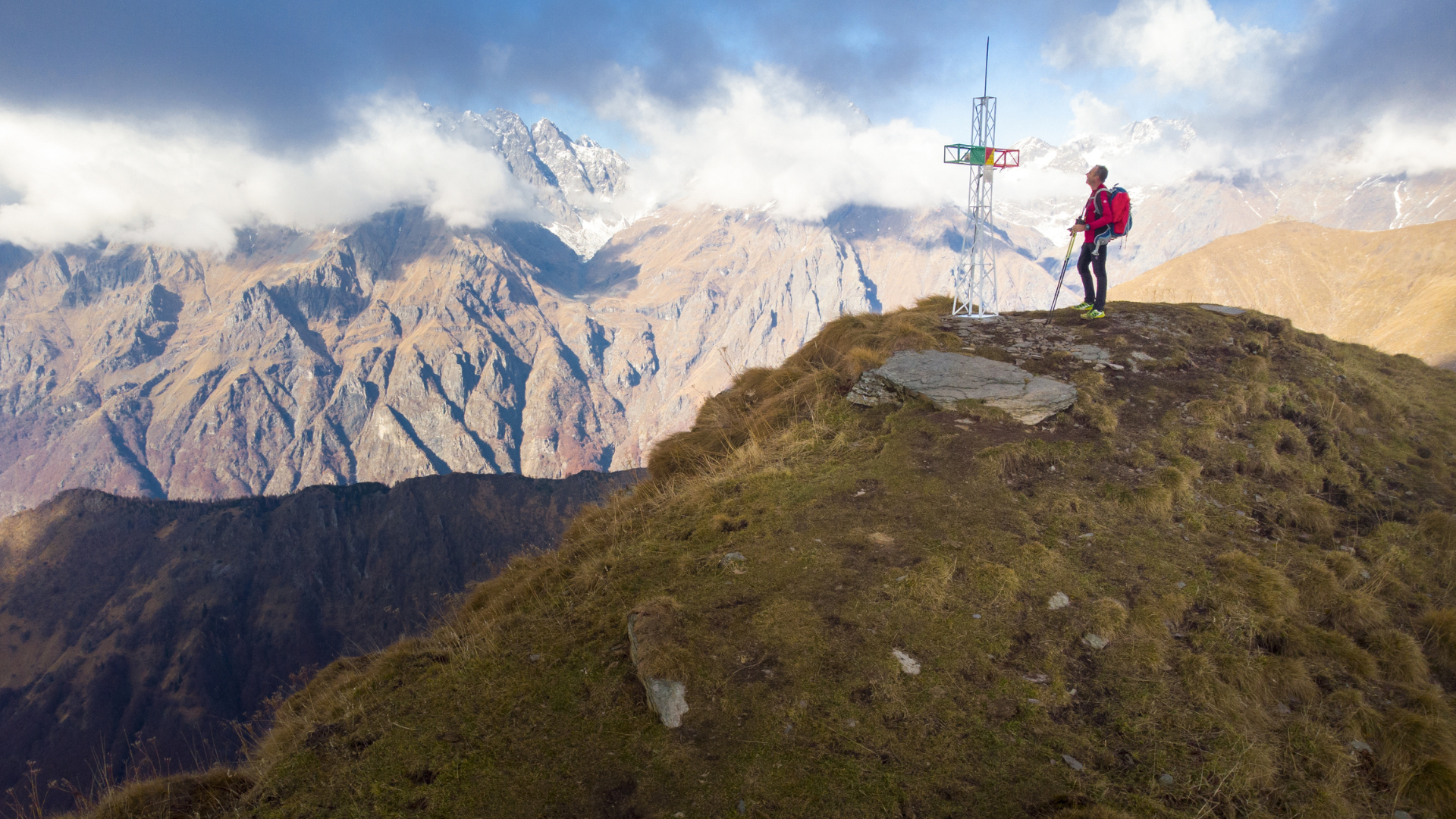
The Via Decia requires some training and preparation. This looped trail is recommended for intermediate hikers due to its elevation changes and distances.
Specific gear is also recommended – outlined in the technical info sheet – to make the journey as smooth as possible.
That said, no one is required to walk the entire trail all at once, or to follow the same pace or stages. It is a great opportunity to get to know Val di Scalve, its towns, and its hidden gems at your own rhythm.
The Route
The full trail is 95 km long and is divided into five stages, forming a circular route.
Corna – Colere (21.7 km, approx. 7 hours 30 min.)
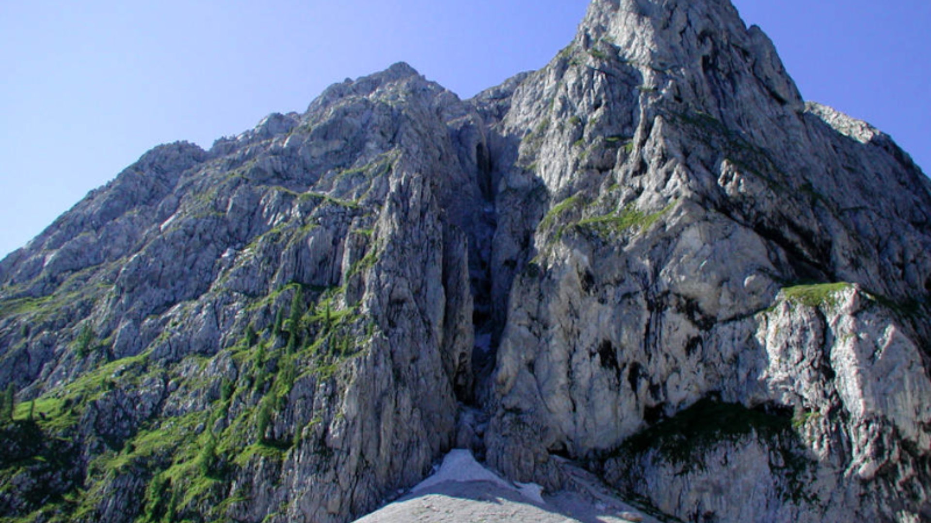
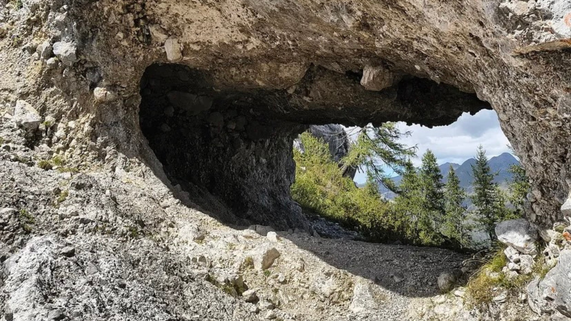
The first stage begins in Darfo Boario Terme, climbing toward Angolo Terme via the enchanting Lake Moro. The trail passes through the dramatic Via Mala and the historic Iron Route, offering unforgettable views, before ending just above the village of Colere.
Colere – Vilminore (17.2 km, approx. 5 hours 20 min.)
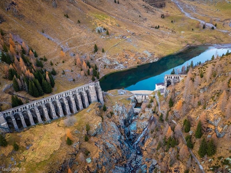
Here, the Via Decia brings you into the heart of the Scalvine mountains. Passing through forest, you will reach the higher hamlets of Vilminore and ascend to the Gleno Dam. After taking in the view, the path descends to Vilminore, the historic heart of the Ancient Republic of Scalve.
Vilminore – Schilpario (17 km, approx. 6 hours)
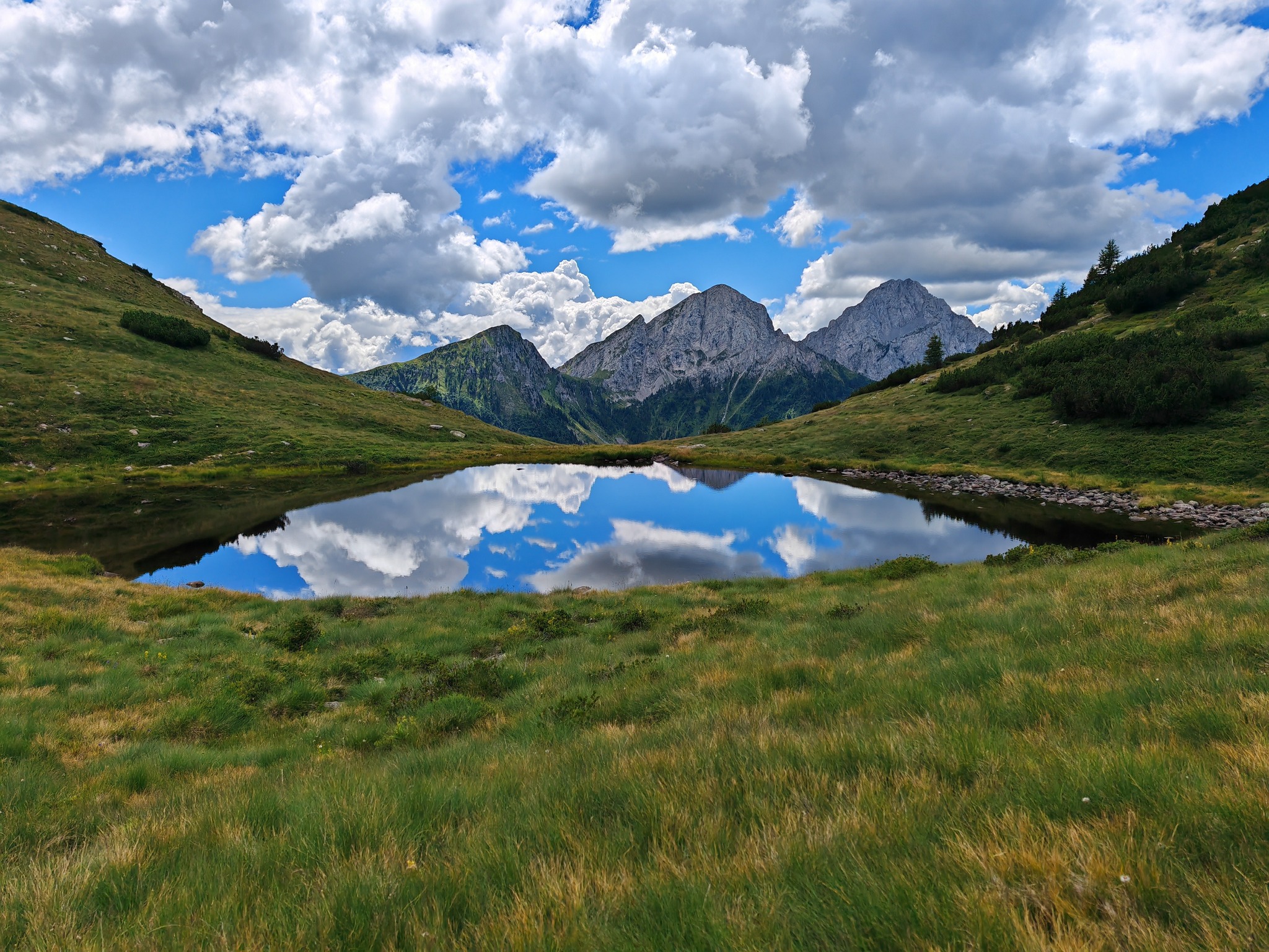
Leaving Vilminore, the trail passes through Pianezza and takes a scenic alternative route through fir forests toward Schilpario. Along the way, you can enjoy sweeping views of Val di Scalve and the Presolana range, with highlights like the beautiful Vò Waterfall.
Schilpario – Azzone (16.8 km, approx. 5 hours 10 min.)
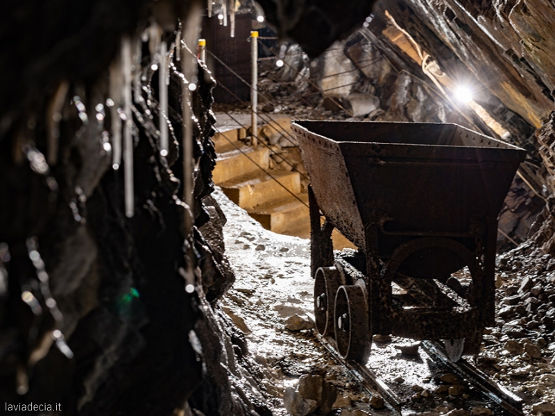
This stage starts in the great fir forests of Schilpario. The route passes key village landmarks such as the Fondi Mines and the Church of Saint Barbara. It continues through the hamlets of Serta and Pradella, then descends to Azzone, the endpoint of this stage.
Azzone – Corna (22.1 km, approx. 6 hours 30 min.)
The final stage brings you back home. The trail crosses the Giovetto Regional Nature Reserve, where the red wood ant is the forest’s guardian. From there, it climbs toward Borno. Reaching the Camunian side at Croce di Salven, the trail then descends through Paline, Prave, and Mazzunno. Passing beneath the shadow of Federici Castle, step by step, you reach the end of the journey.
Useful Information
Total duration: 5 days (30.5 hours);
Total elevation gain: 4,609 meters;


Route information
- Fino a 1500: Fino a 1500
- Trails marked with dedicated signage: Trails marked with dedicated signage
Maps and Downloads