In MTB ai laghetti del Veneroccolo
Main stages: Schilpario – Vivione – Passo del Gatto – Veneroccolo Lakes – Schilpario
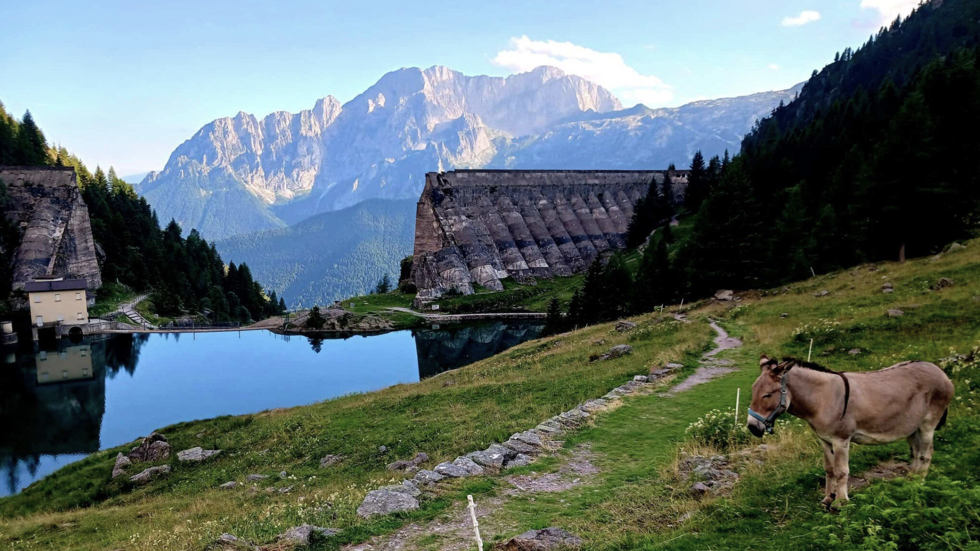
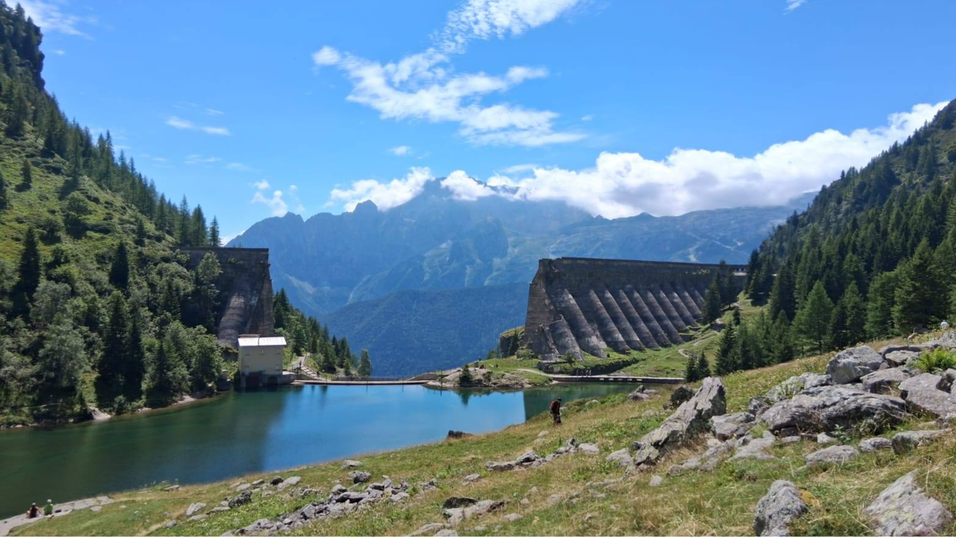
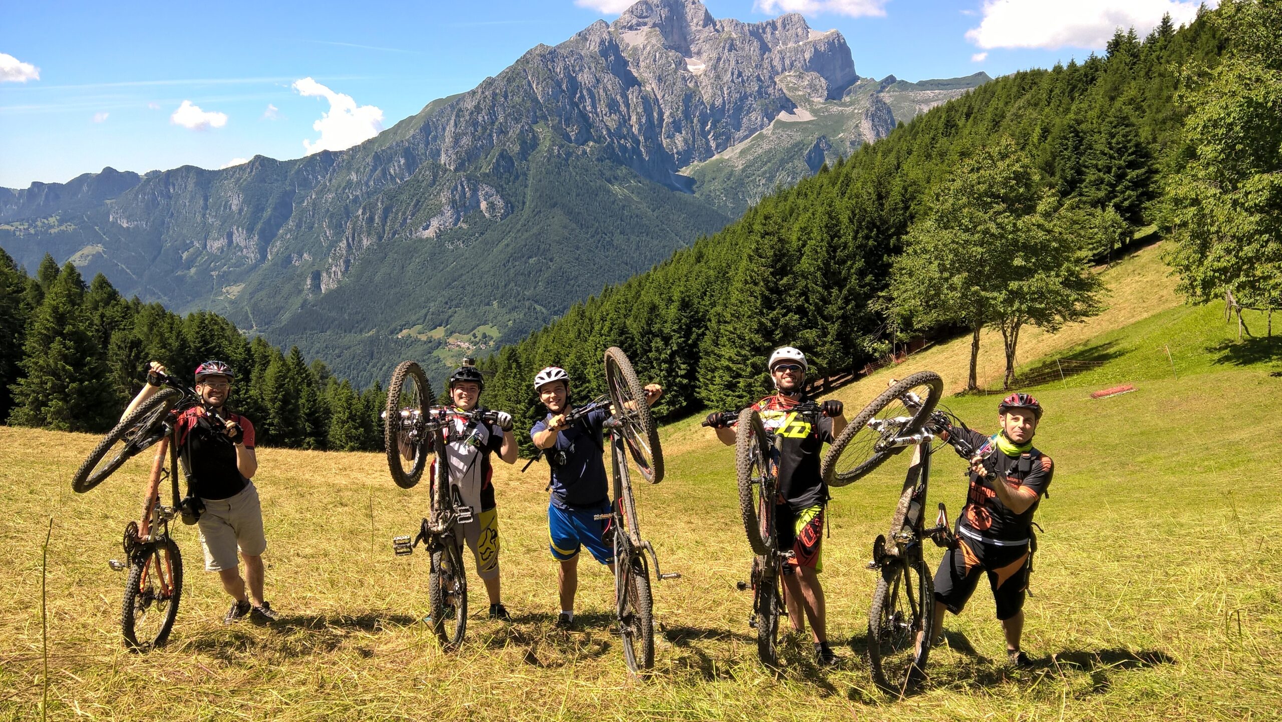
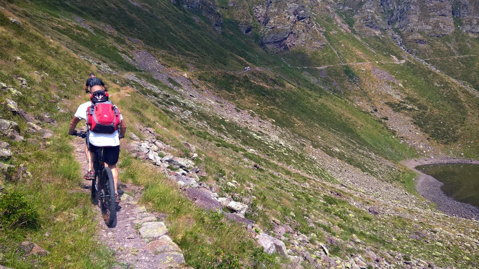
The breathtaking panoramic points, untouched nature, high-altitude natural lakes with all the shades of green and blue, a series of stream crossings and wild blueberries to pick are the protagonists of this route, which requires an amount of training and good MTB handling skills. With a bit of luck, there is a possibility to see some marmots. Also, there are opportunities to refill water throughout the route. It is recommended to tackle this trail with a full and appropriate high-altitude equipment.
Technical data
Difficulty: OC/EC (Very Difficult/Extreme)
Length: 32.8 km
Moving time: 4h 31min
Rideability: 65% uphill – 75% downhill
Recommended period: June – October
Surface: Asphalt 30% – Dirt 20% – Trail 50%
Elevation: 1066 m – Max. Elevation: 2425 m
Elevation gain: Ascent 2043 m – Descent 2042 m
Bike pushing sections: Yes – Bike carrying sections: Yes – GPS track: Yes
GPS TRACK IS ESSENTIAL
Tested and reviewed by: Gian Pietro M. – Nicola T.- Riccardo P. – Alex B.
Rating:
Good
Technical tips:
Always bring caution, respect, good manners, and courtesy with you. Pay close attention to marked detours. Evaluate weather conditions carefully before starting.
Route
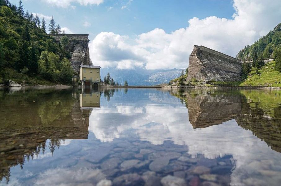
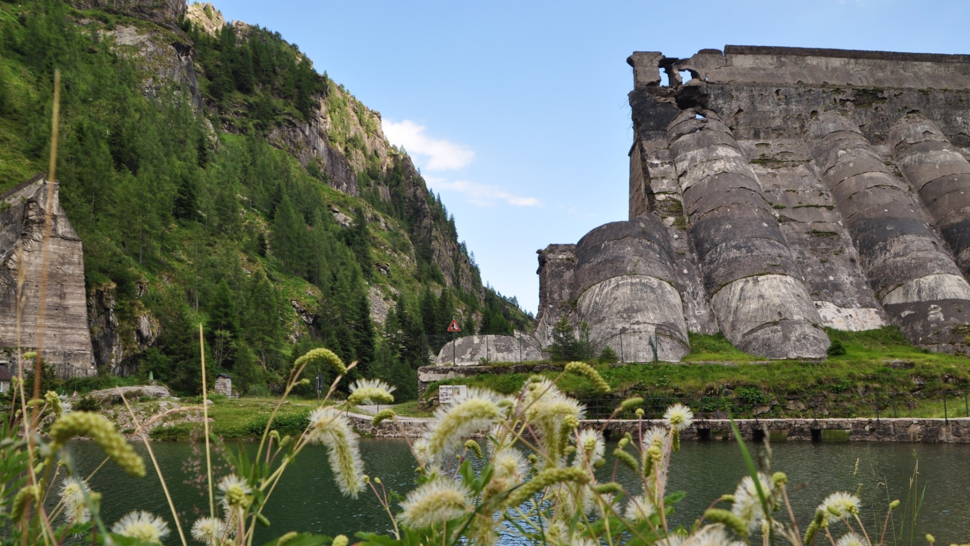
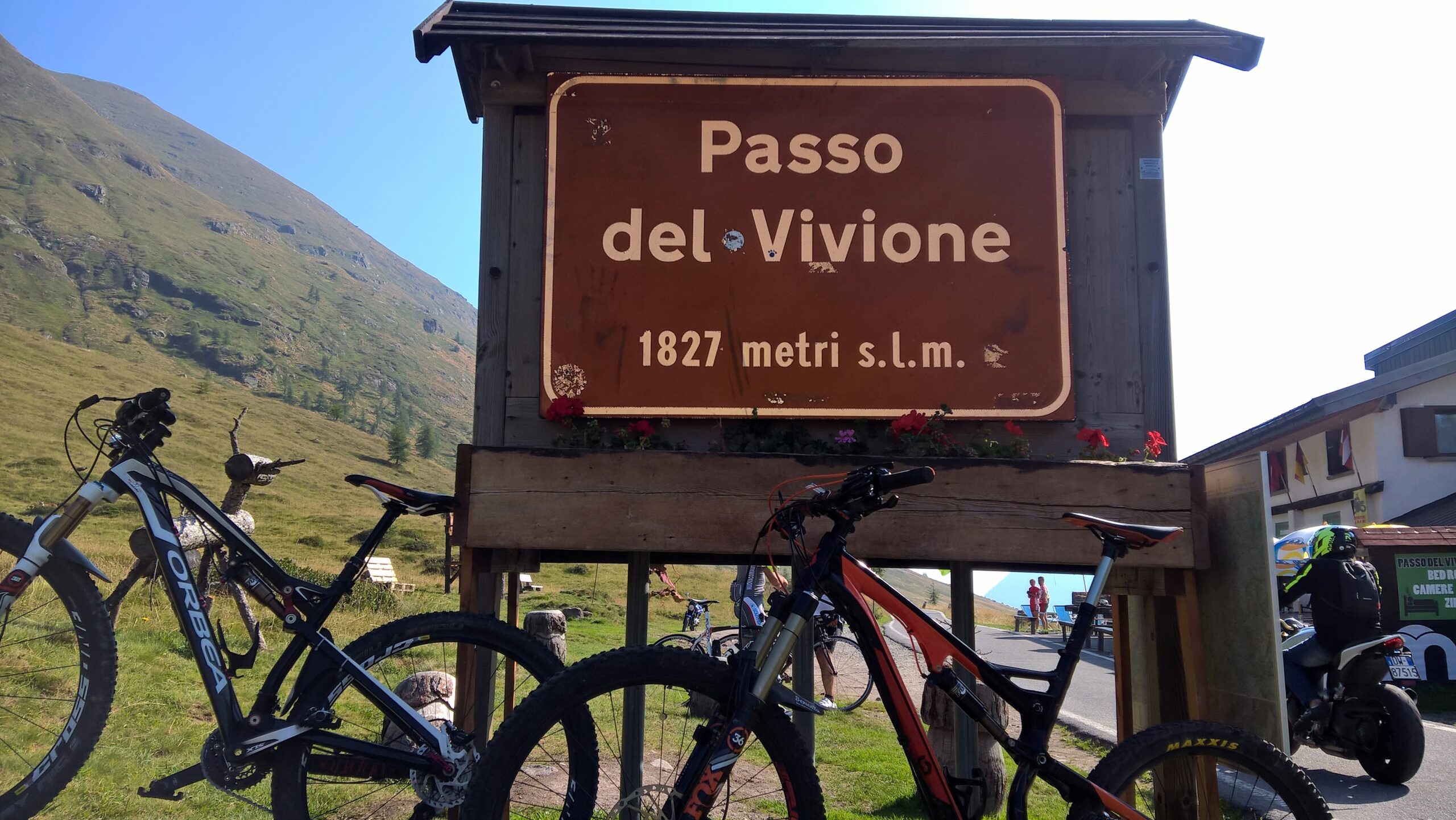
The starting point is Piazzale degli Alpini in Schilpario. We begin with a long but steady 12 km climb to Passo del Vivione. Once at the pass, and after taking a photo, take the dirt road on the left that loops around the pond and follow CAI trail 416 toward Passo del Gatto and Rifugio Tagliaferri.
After a short flat dirt section, ford a stream and at the first fork, keep right onto the CAI-marked trail, which begins to climb. This is where the most demanding part begins – lasting about two hours up to Passo del Gatto – requiring frequent transitions between pedaling and pushing, with some sections necessitating carrying your bike, especially in the second hour.
This section is characterized by springs and running water, forming Laghetto di Val Bona, a heart-shaped lake in the lower basin. Thanks to the abundant water, you can carry a lighter water supply to reduce backpack weight.
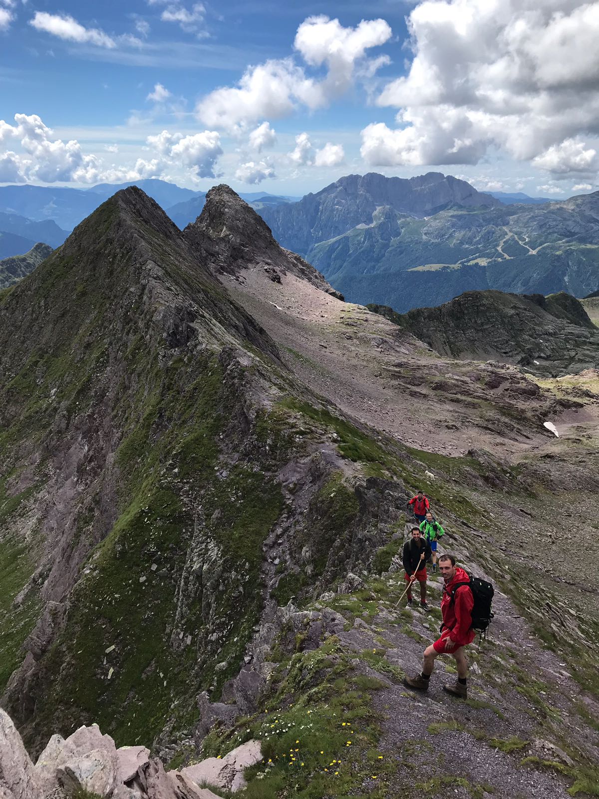
After the lake, the altitude gains rapidly, offering thrilling panoramic views but also requiring increased attention and caution. In the upper sections, approaching Passo del Gatto (2415 m), the air gets thinner, but the gradient eases, allowing the most determined riders to pedal again. With its ample water, sunny exposure, and grassy patches, this area is also an ideal habitat for vipers – be careful!
From Passo del Gatto, after a well-earned rest and some unforgettable photos, carefully continue downhill toward the San Carlo Lakes, which offer another spectacular view. After a short descent, the trail climbs again, requiring you to push your MTB once more.
At the top of the climb, turn left following signs for Schilpario and Vò (CAI 414). (Off-route: 100 m to the right is Passo del Veneroccolo, the endpoint of the high-altitude cycling route from Aprica.)
Looking to your right, you will catch glimpses of the Veneroccolo Lakes, some of the most beautiful natural sights on this trail – an ideal spot for another break. Continue along CAI 414, which now turns into a long and technical descent, crossing a stream and possibly several fords in case of rain. Lower down, the trail becomes a dirt road and joins the valley floor’s flat track – turn right to visit the Vò waterfalls.
Continue left, along the road that turns to asphalt until you reach a stop sign. Turn left, follow the uphill asphalt road and head toward Schilpario, passing through the town center. At the main square, keep right onto Via Padre Maj until the next stop sign. Turn right, then left after a few meters to return to the starting point.
Original text modified. For more info and detailed route data, you can download the printable sheet or click here (Route no. 10).
Route published in collaboration with 
Check out many more trails at www.orangemtb.com


Informazioni sul percorso
- Difficoltà: OC / EC
- Mesi utili: Da giugno ad ottobre
- MTB consigliata: , Full
- Percorso su asfalto: 35%
- Ciclabilità: 65% in salita 75% in discesa
Mappe e Download