Mountain bike from Schilpario to Venerocolo lakes through Vivione Pass
Breathtaking viewpoints, pristine nature, high-altitude lakes, stream crossings, and wild blueberries define this route, which requires good fitness and solid MTB skills. Spot marmots with some luck. Water refill points are available along the route. Full-suspension bike and proper high-altitude gear recommended.
Technical details
Difficulty: OC/EC
Length: 32.8 km
Time in motion: 4 h 31 min
Rideability: (65% uphill) — (75% downhill)
Recommended period: June – October
Asphalt: 30% — Dirt roads: 20% — Trail: 50%
Min altitude: 1066 m — Max altitude: 2425 m
Elevation gain: Ascent 2043 m — Descent 2042 m
Push sections: YES — Bike carrying sections: YES — GPS track: YES
GPS TRACK IS ESSENTIAL
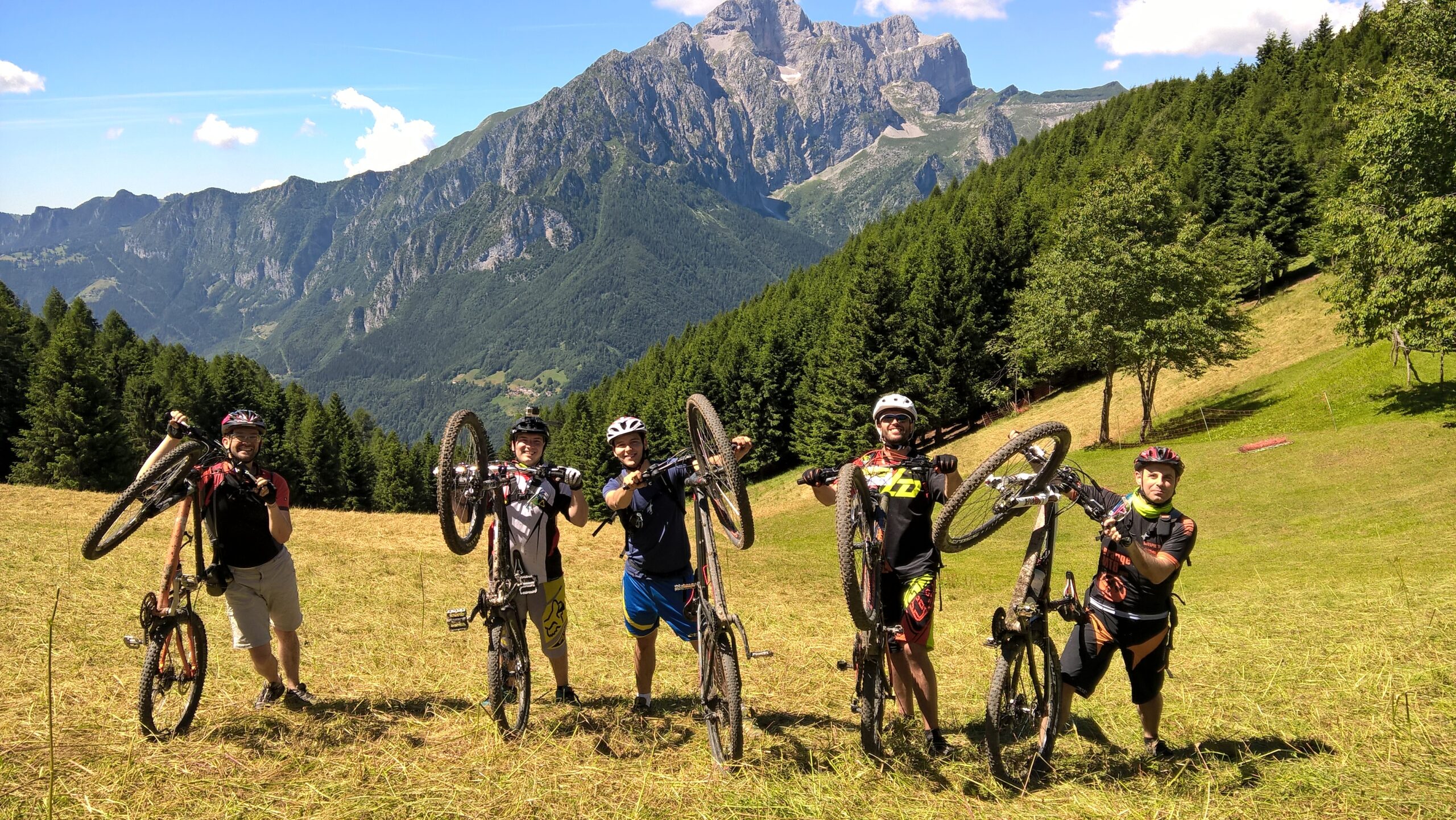
Tested and approved by: Gian Pietro M., Nicola T., Riccardo P., Alex B.
Rating: Good
Technical advice: Always carry caution, courtesy, respect, and proper etiquette. Pay attention to trail deviations. Evaluate weather conditions carefully before starting.
Route
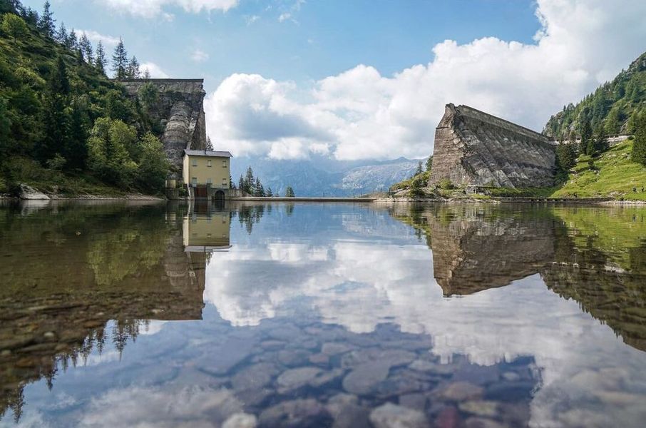
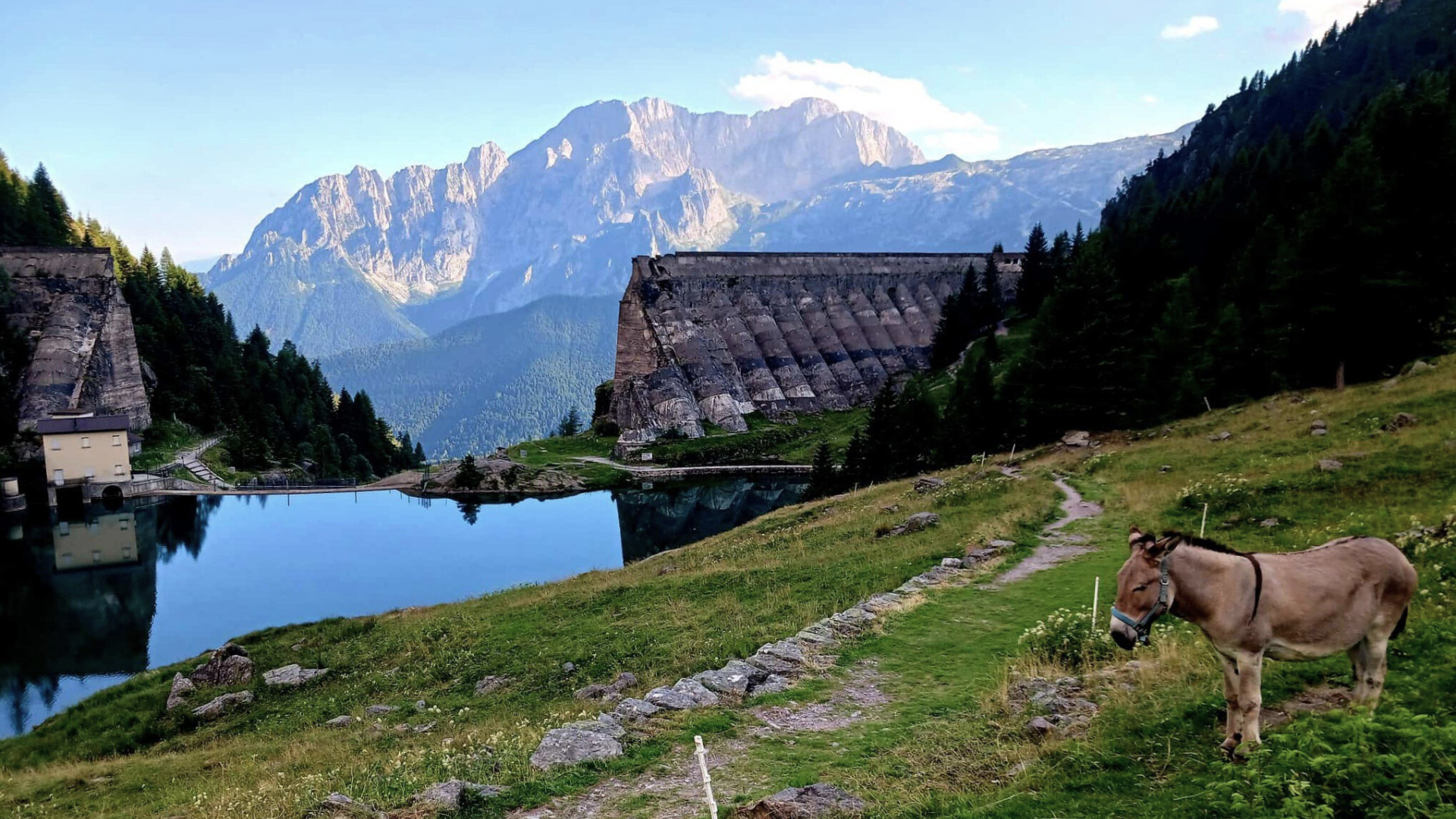
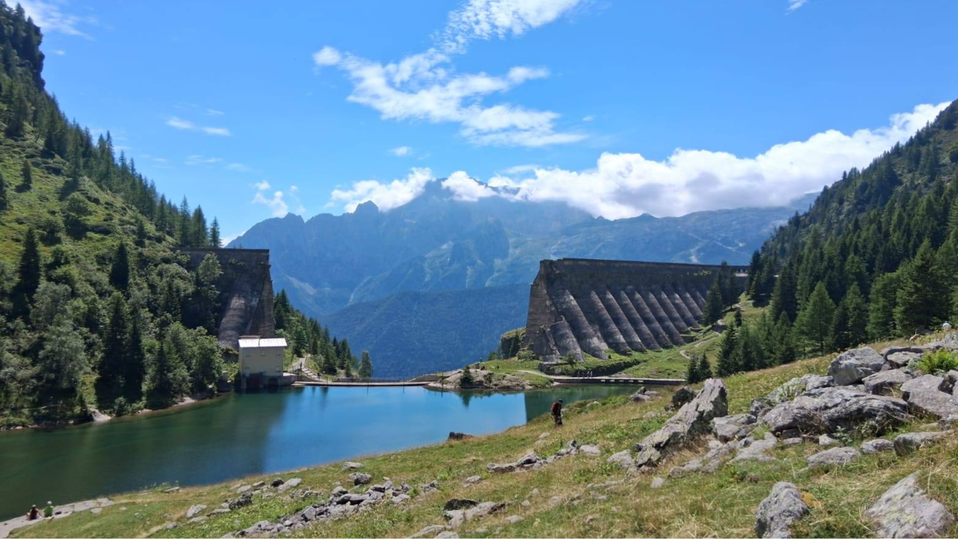
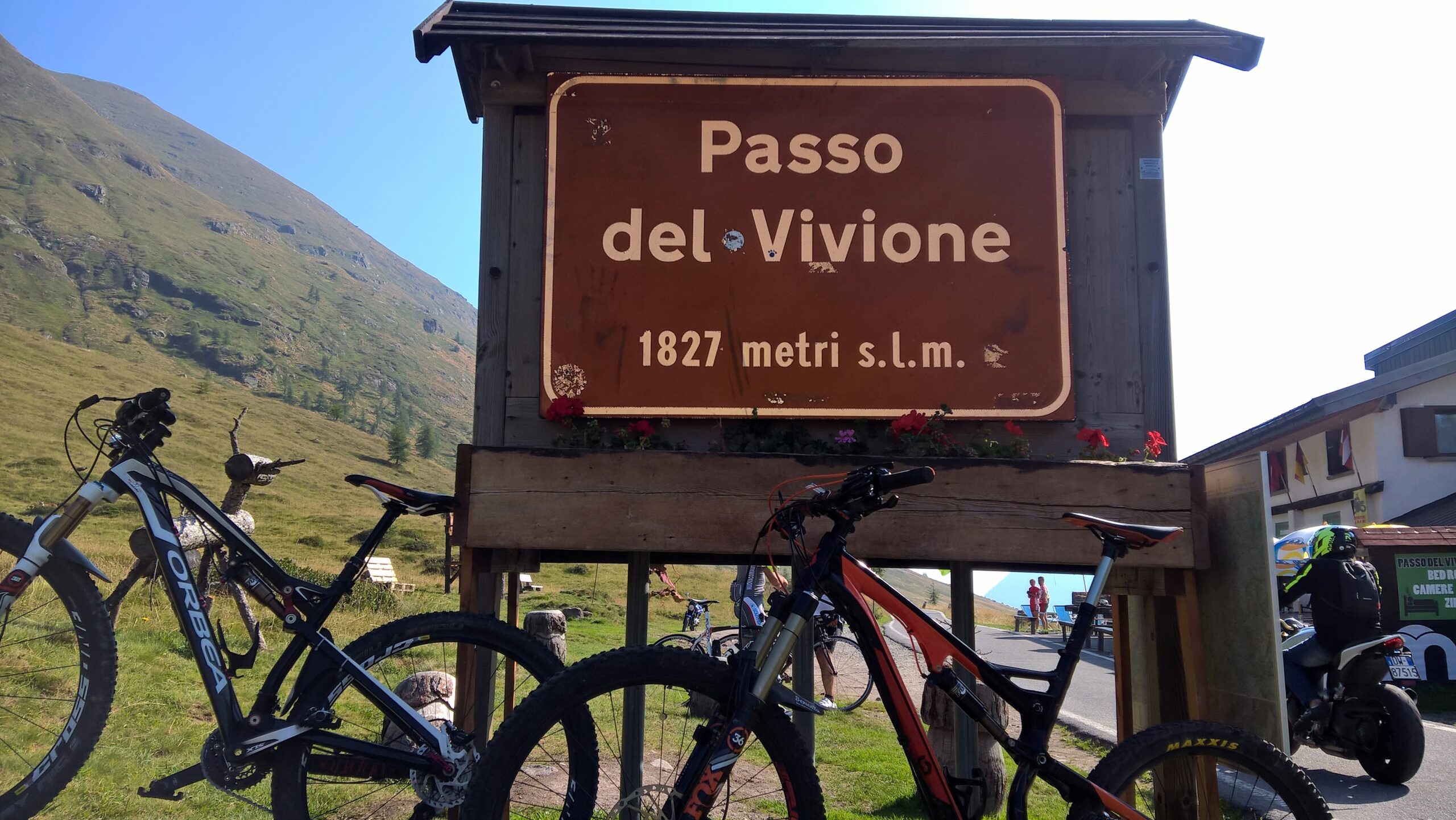
Starting point: Piazzale degli Alpini in Schilpario. Follow the gentle 12 km climb to Passo del Vivione. After a commemorative photo, turn left onto the dirt road along the pond and follow CAI 416 toward Passo del Gatto and Rifugio Tagliaferri.

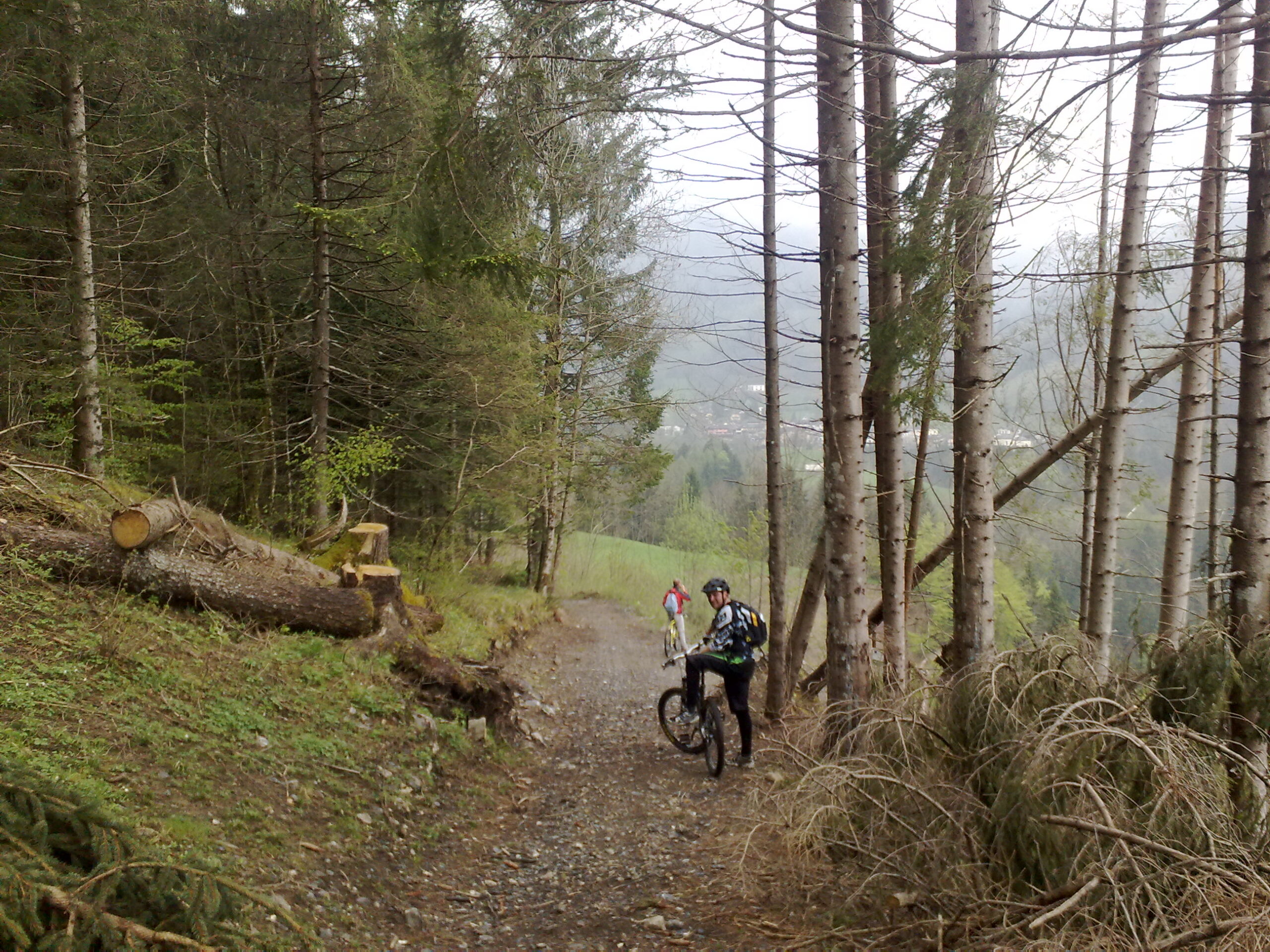
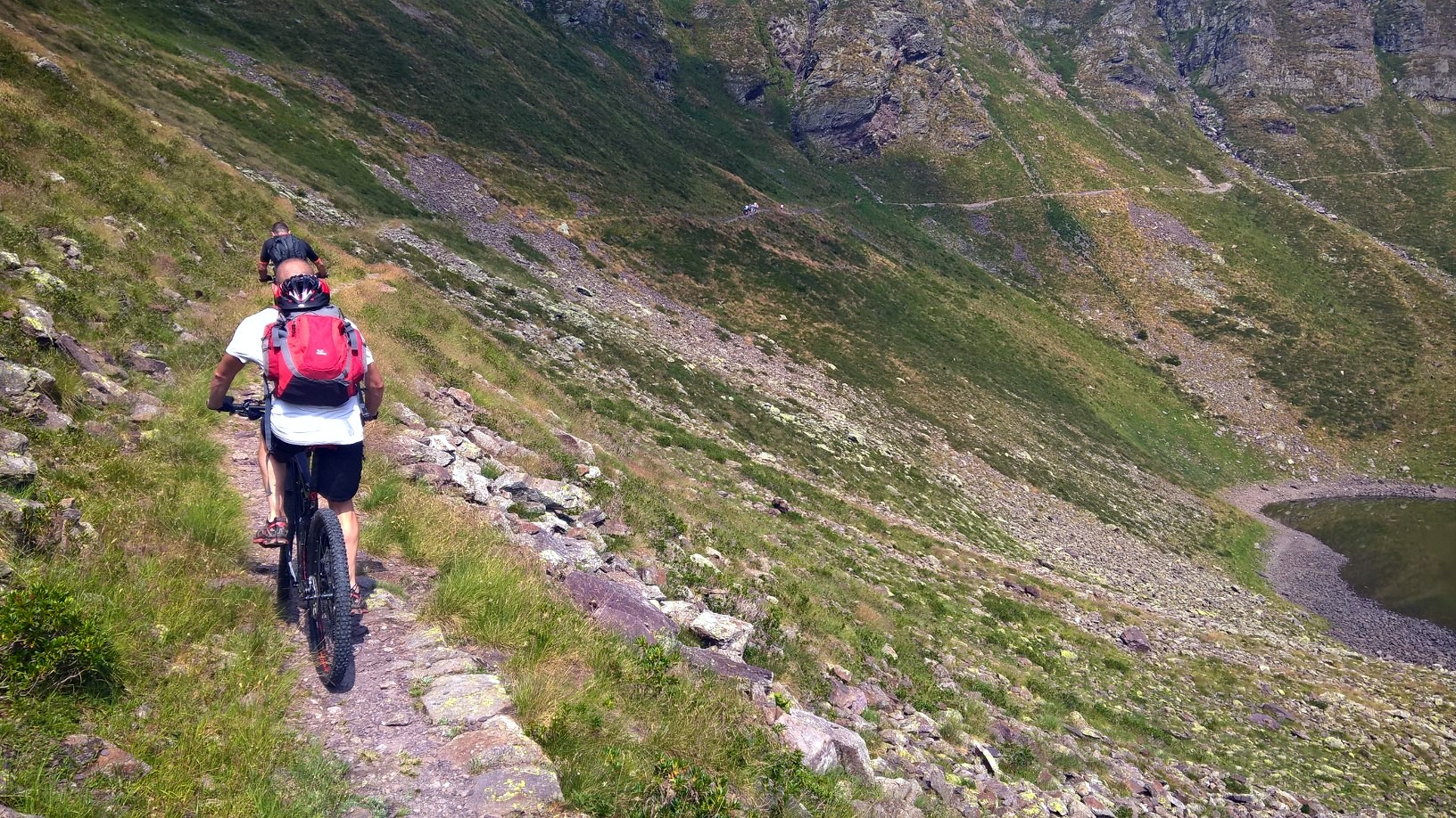
Cross a stream and at the first junction, keep right following CAI markers. The most challenging section starts here, lasting ~2 hours until Passo del Gatto, requiring frequent push/pedal changes and occasional MTB carrying, especially in the second hour of climbing. Numerous springs and a small heart-shaped lake in lower Val Bona allow minimal water to be carried.
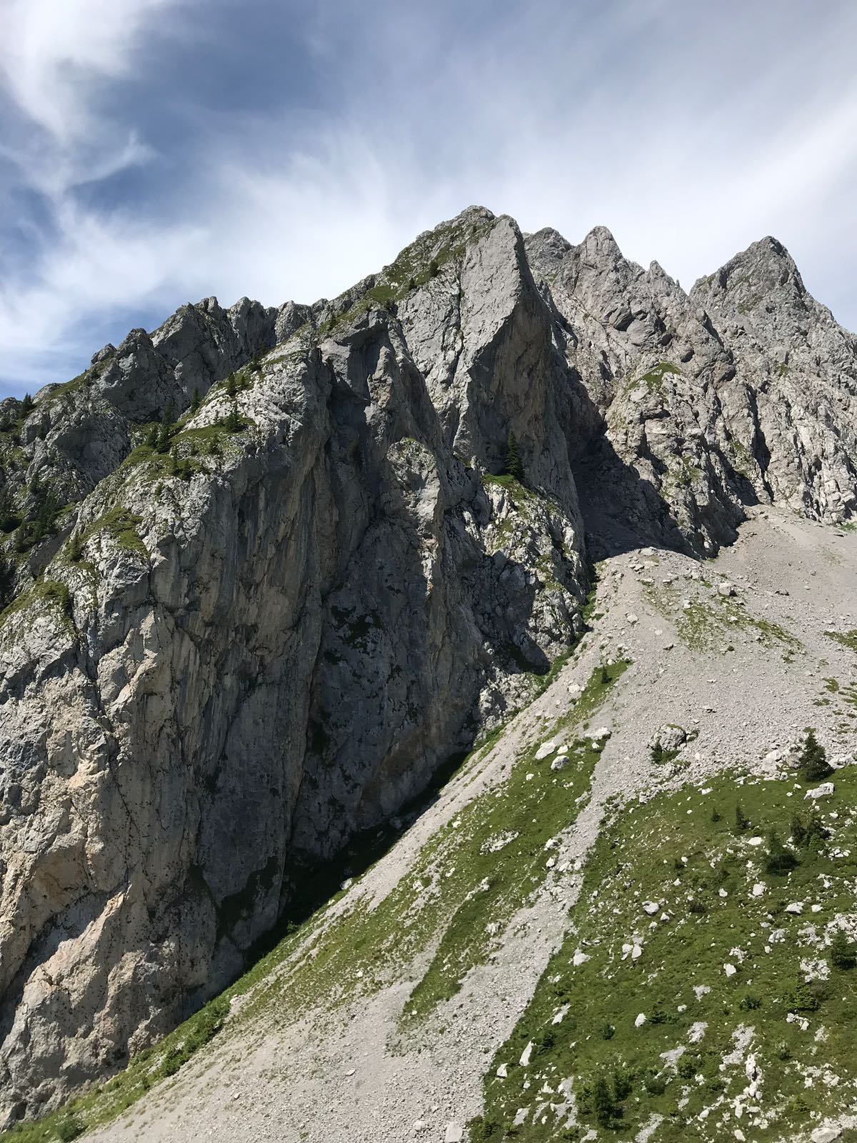
Near Passo del Gatto (2415 m), slopes ease, allowing strong riders to pedal. Watch for vipers — stay alert!
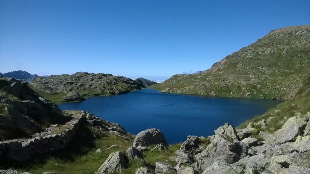
Descend carefully to the San Carlo lakes. After a short descent, climb again with MTB pushing required.
WATCH FOR THE NEXT TURN
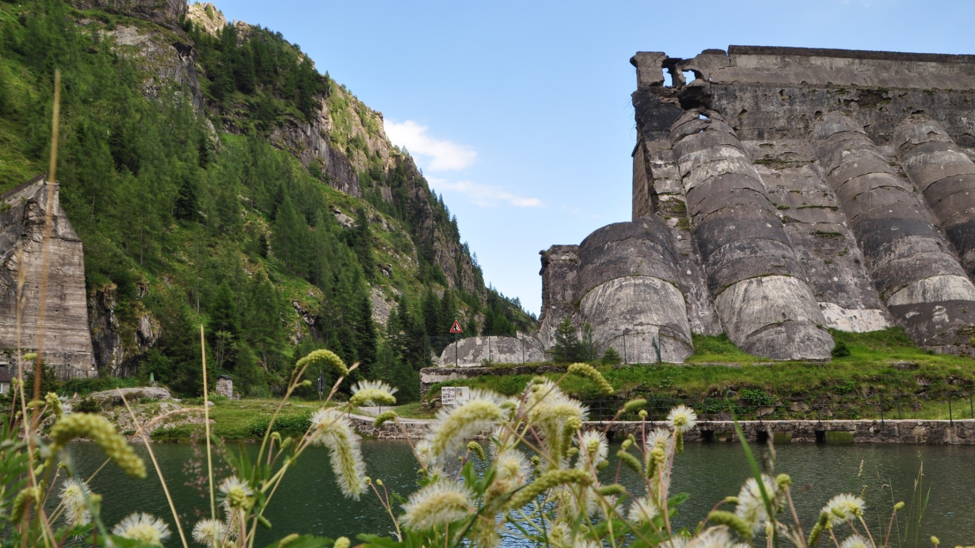
Follow signs for Schilpario and Vò (CAI 414). Optionally, turn right for 100 m to reach Passo del Veneroccolo. Continue along CAI 414 through technical descent, stream crossings, and fords (if rainy). The lower section joins a dirt road leading to Vò waterfalls. Proceed left on asphalt toward Schilpario, passing through town center back to starting point.
Original text adapted. For detailed maps, download the printable sheet or click here (Route No. 10).
Route published in collaboration with ORANGEMTB
Discover more routes at www.orangemtb.com


Route information
- Difficulty: OC / EC
- Useful months: From June to October
- Recommended MTB: , Full
- Asphalt route: 35%
- Cyclability: 65% uphill 75% downhill
Maps and Downloads