Around Colere
A very interesting and easy itinerary around Colere, including the village and the panoramic hamlet of Magnone.
Starting point
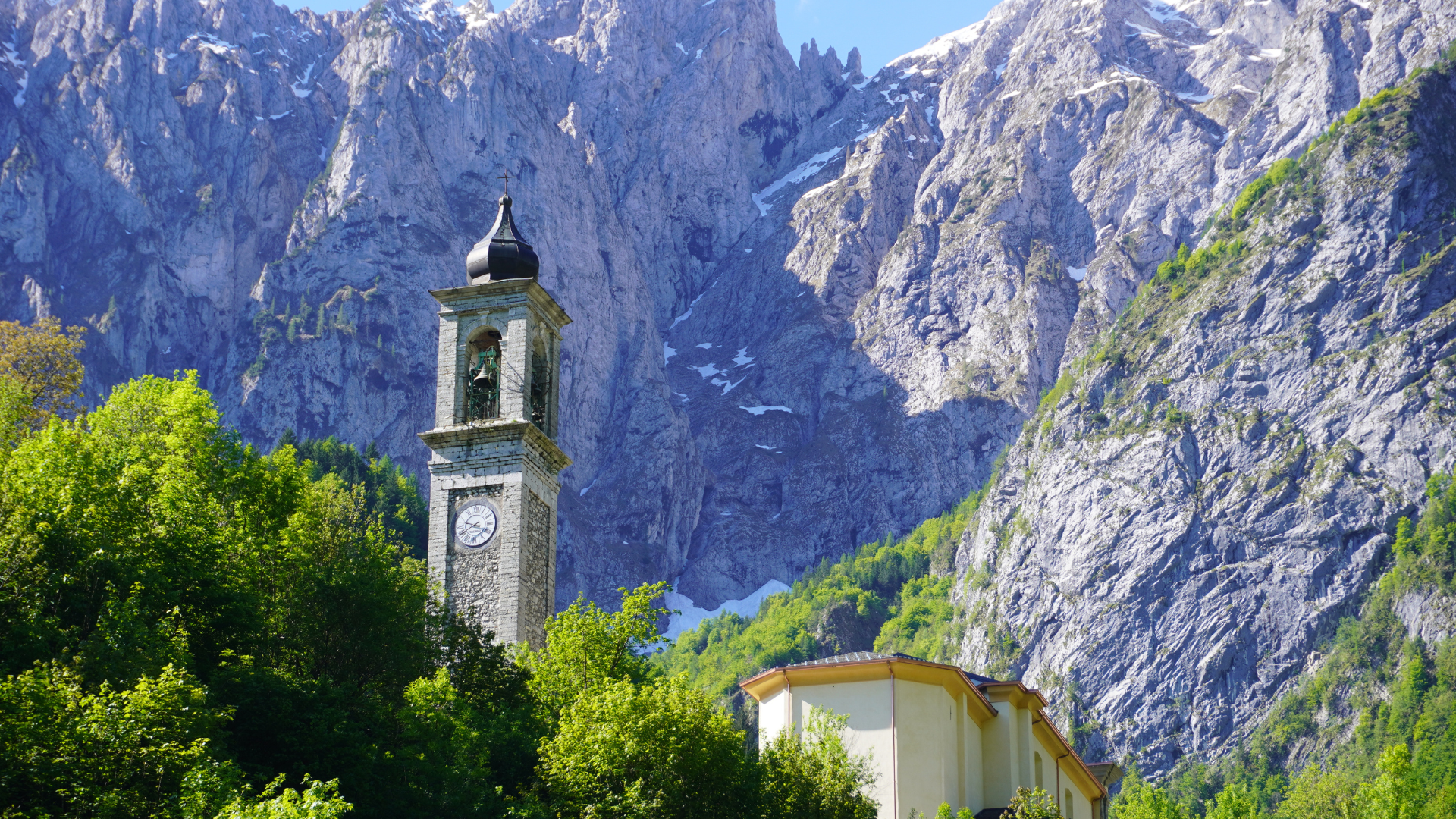
The route starts from Piazza Risorgimento, where you can admire the Parish Church of San Bartolomeo.
Route
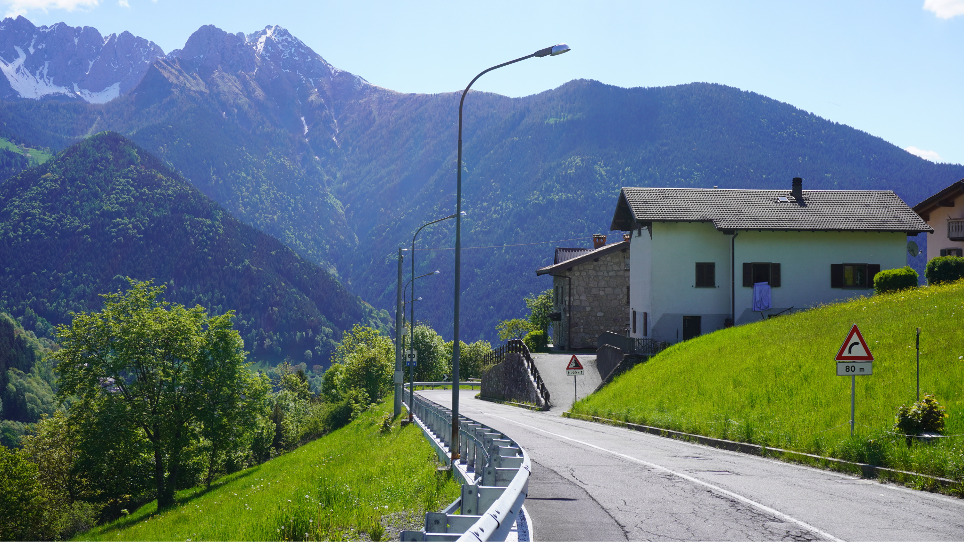
The itinerary starts and ends in Piazza Risorgimento. Follow the asphalt road towards Vilminore until the end of the built-up area, then take the almost flat dirt road and continue. Continue on the main road, pass under a farmhouse, and proceed to a second farmhouse about 150 m from the previous one. Here the road narrows and becomes a trail: cross the stream (often dry) and shortly after join the dirt road, turning left uphill.
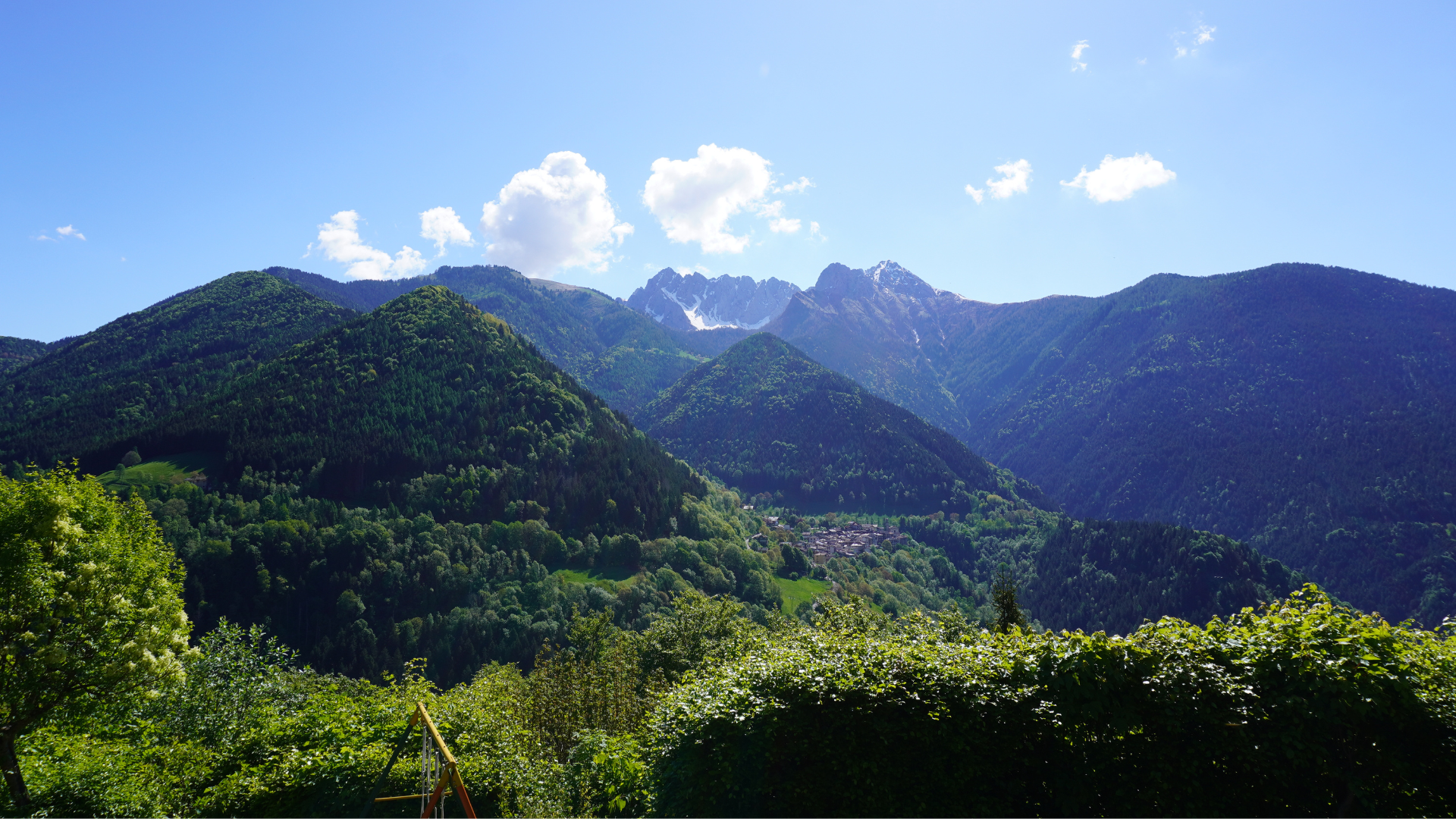
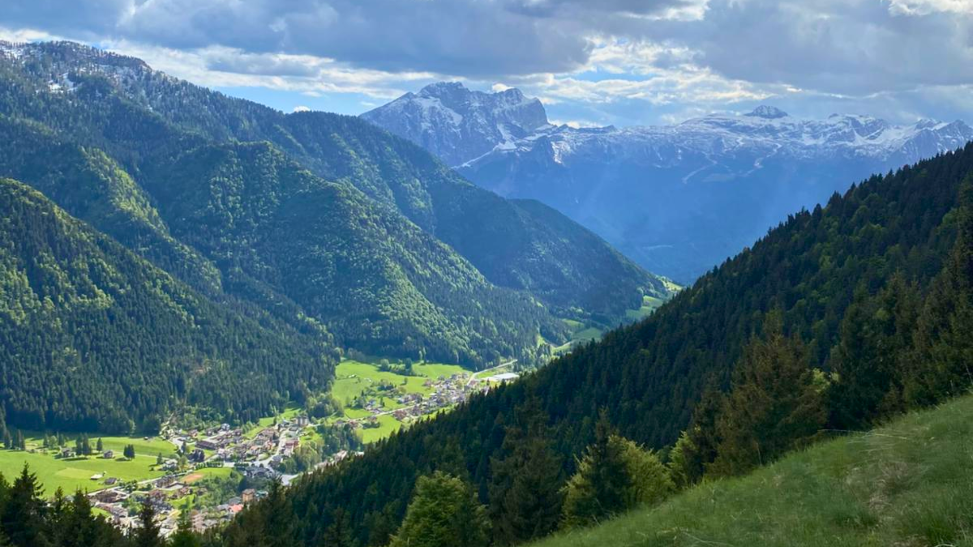
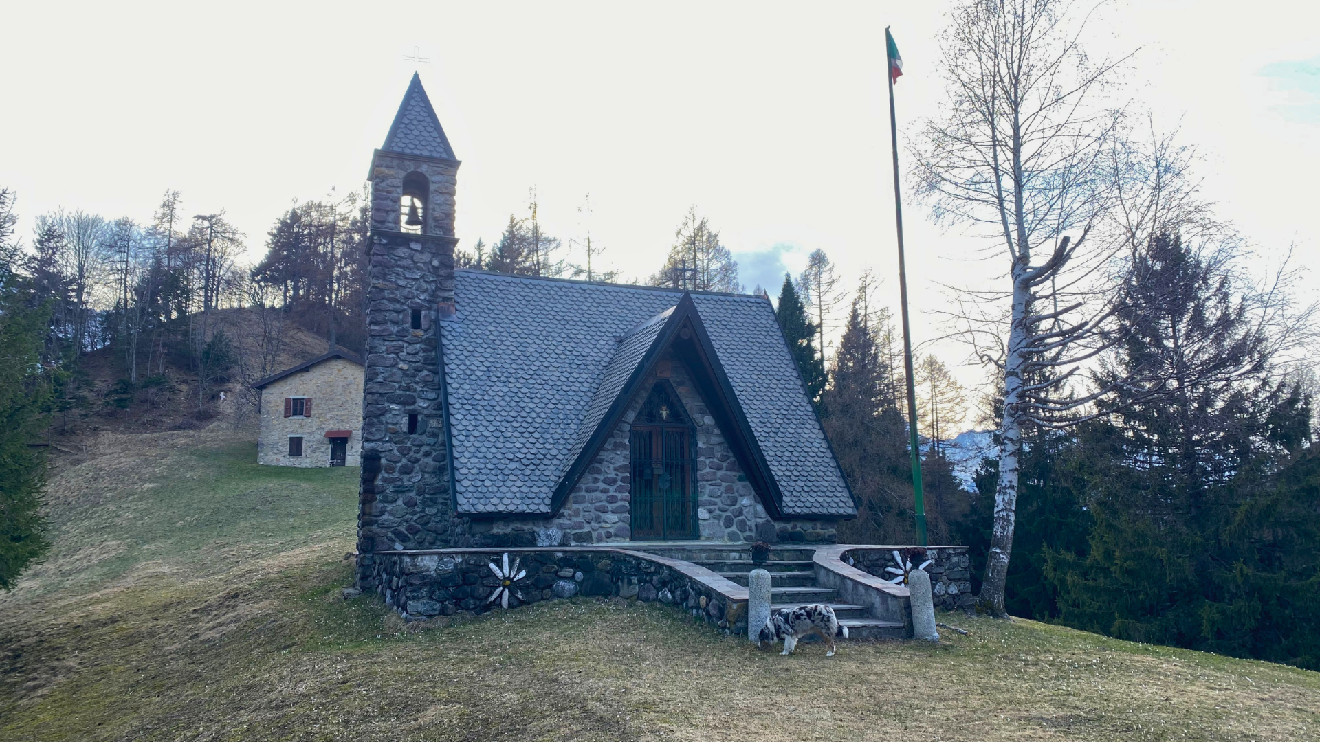
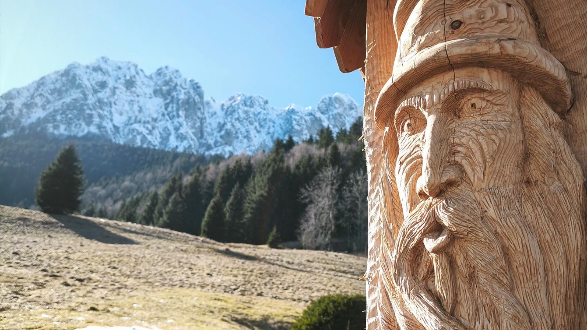
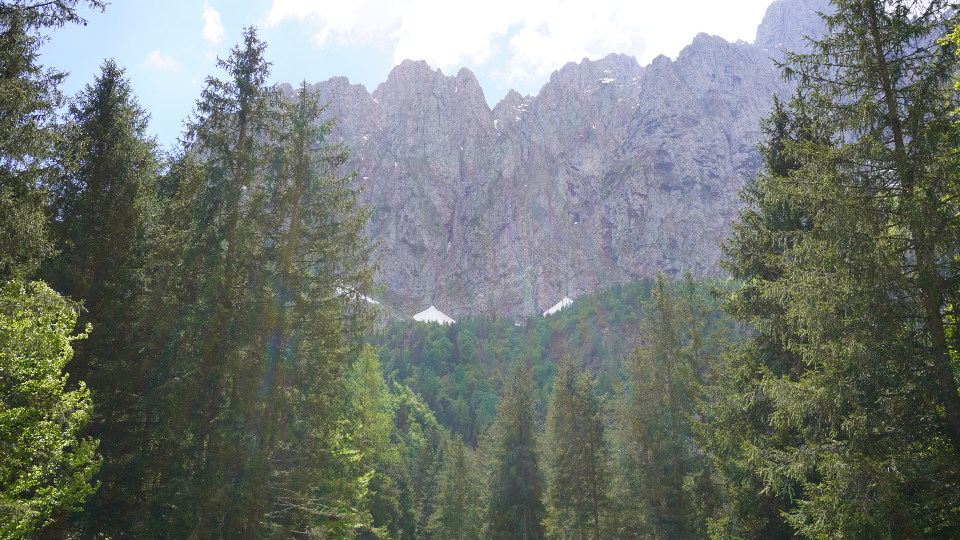
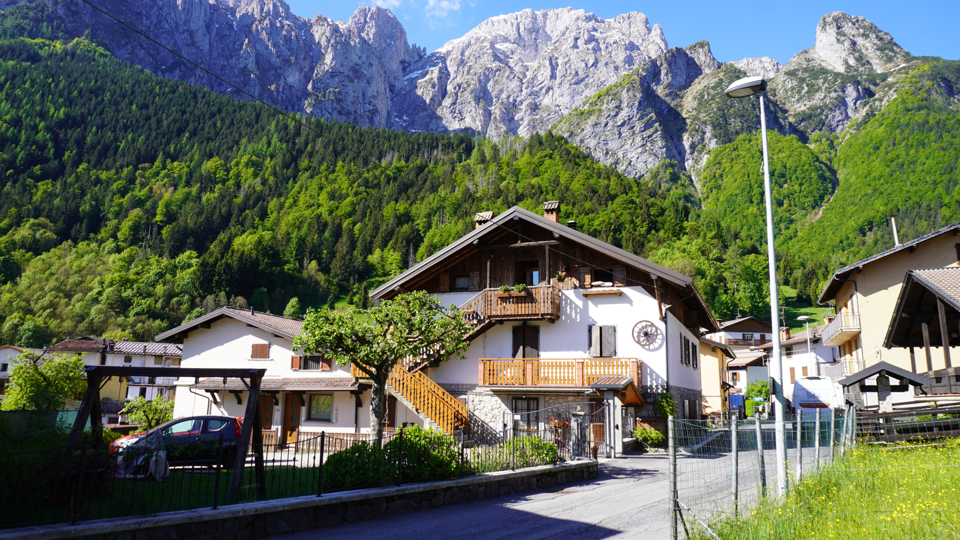
Continue along the climb, which becomes steep until the provincial road. Turn right and continue uphill until you reach the village of Magnone: here you can take a sip of water at the fountain and take a photo of one of the most beautiful panoramas in the valley. Take a look at the small church and continue along the green, winding trails carefully maintained by the Alpini of Colere.
Here, turn left and enter the small gravel-paved square. Leave the square turning right and follow the wide trail, following the red markers. When you reach the cement road, cross it and continue under the retaining wall.
Proceed to the large parking lot of the ski lifts. Leave the starting station on your right and follow the paved descent for 20–30 m; then turn right uphill along the road passing through the village of Carbonera.
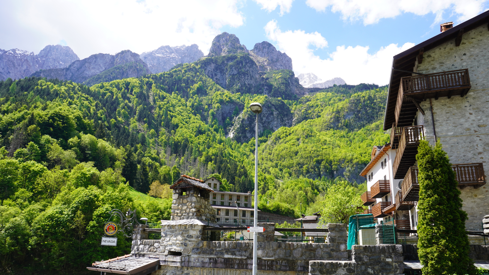
In this small hamlet, every corner hides something curious, making you feel as if you’ve stepped back in time. It is possible, by reservation, to visit the Ecomuseum of the Presolana Mines to discover the history of the Presolana mines, whose ore was once “washed” right in this building.
After passing the museum, the route continues on a dirt road that climbs and then descends until it joins a cement road near Pian di Vione. Here you can take a moment to relax: beautifully maintained, the area is covered with a soft “English-style” lawn, perfect to lie down for a few minutes and gaze at the sky.

Continue uphill, pass the equipped area and at the junction turn left. Continue uphill for a few dozen meters, then the road flattens, descends sharply, and flattens again. Continue on the flat for about 800 m and at the hairpin turn left downhill (do NOT go straight). Continue until the provincial road near the beginning of Colere and turn left.
Follow the main road to the town center to reach the starting point.

Route information
- Fino a 500: Fino a 500
Maps and Downloads