Sentiero delle Strinade – the red path
The colored trails are the result of a project to restore abandoned paths in the municipality of Colere, managed by the local Alpini group. Many secondary routes that are not fully included in the C.A.I. classification have been recovered, enhanced, and marked with different colors. Traditionally, these trails were used for collecting mushrooms, firewood, straw, and small berries; today, they represent a traditional heritage that keeps the historical memory of the community alive.
Starting point:
Starting from the village of Carbonera. You can park the car in the parkings of the ski area of Colere Infinite Mountain. Parking location
Route:
After leaving the car in the square of the chairlift that connects the town of Colere to the ski slopes, take a small farm road usually used by forest owners to unload timber, starting from the road that climbs up left from the ski area.

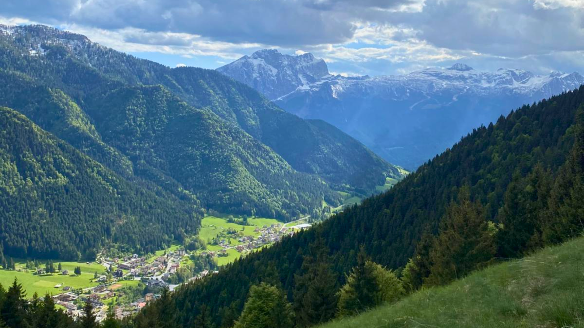
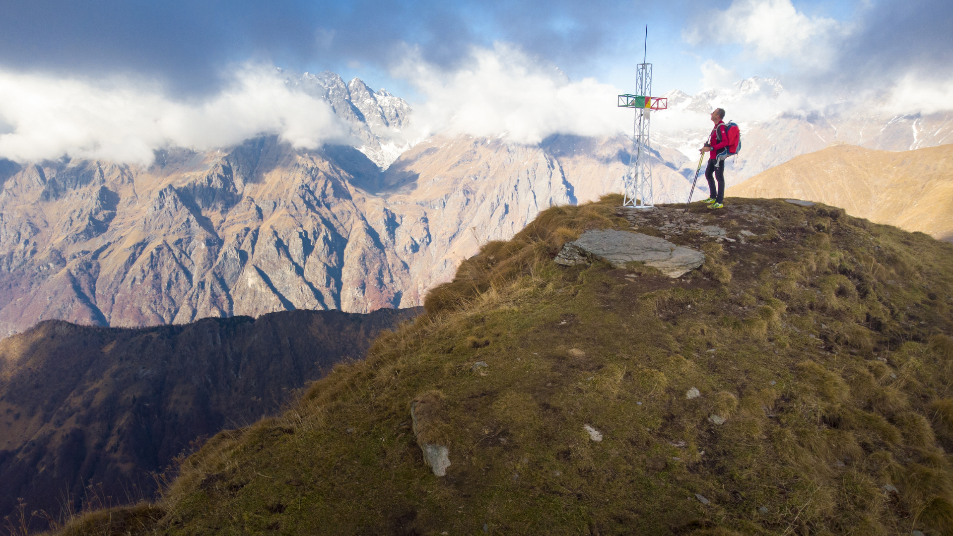
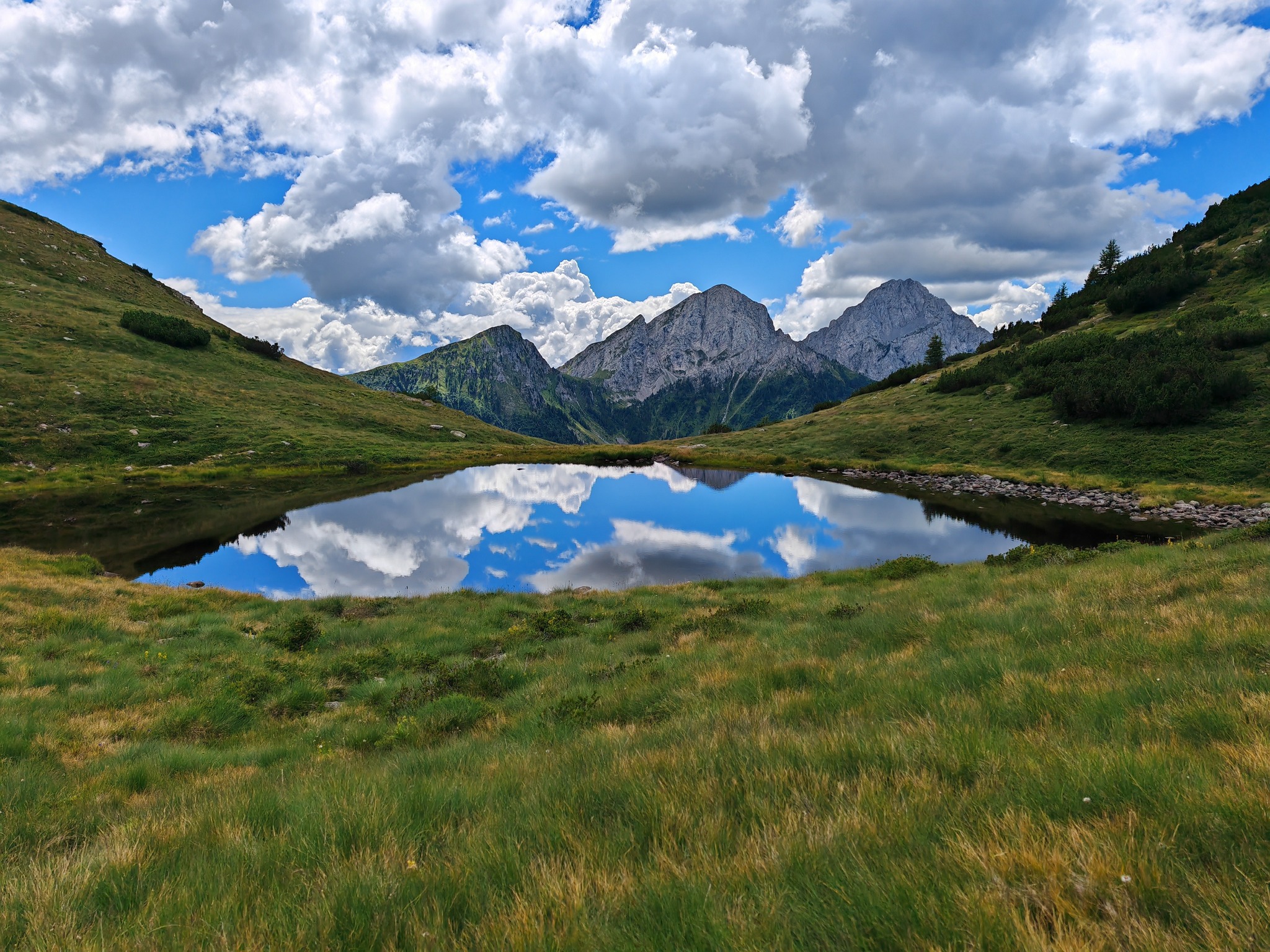
After this short moderately sloped section, the trail continues comfortably and flatly through beech, larch, and spruce forests. Below you lies the village of Colere and its entire basin from an unusual and remarkably beautiful perspective, while the views of Presolana and Pizzo Camino accompany you throughout the hike.

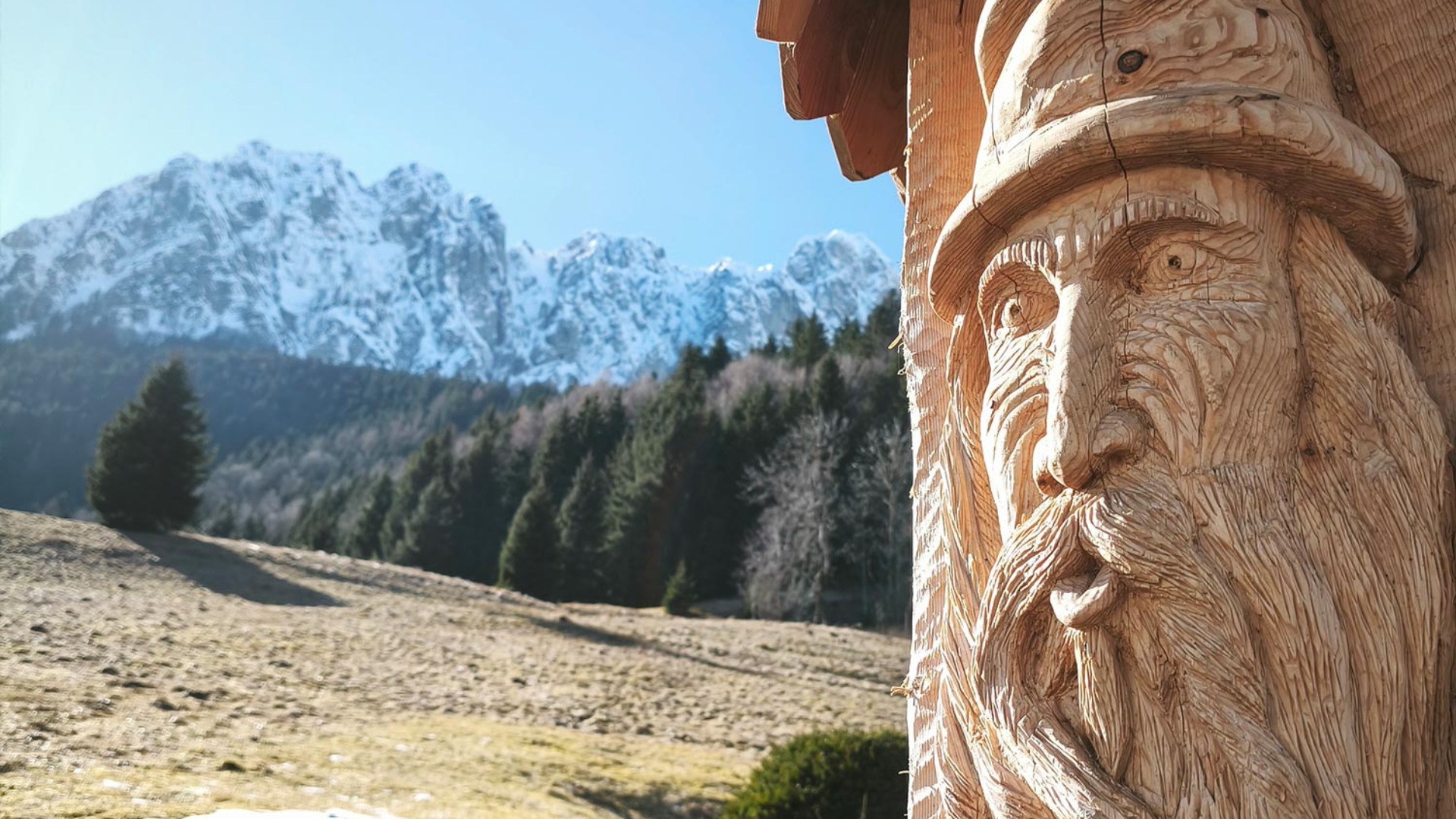
Once you reach the hamlet of Magnone, a tiny hamlet with one of the most beautiful views of the entire Val di Scalve, the return route begins on a trail parallel to the outgoing path but running lower. Along the route, you will find a couple of restored farmhouses (Cascina del Zurzì and Cascina del Re) and the remains of the stables, now in ruins. If you are quiet and lucky, you may encounter foxes, badgers, marmots, and roe deer that inhabit the Colere basin.
This is an easy trail suitable for everyone.
Download here the GPX track of the route or visit the official website of Gruppo Alpini Colere.
CLICK HERE to watch the trail video.


Route information
- Fino a 500: Fino a 500
Maps and Downloads