Nona – Manina – Sasna peak
A moderately difficult route loved by locals, without any particular technical difficulties, which also allows those who wish to do so to cross over into the Seriana Valley. South-east exposure.
Technical data:
Difficulty: medium
Elevation gain: approximately 1,000 metres
Time: approximately 4 hours
Departure
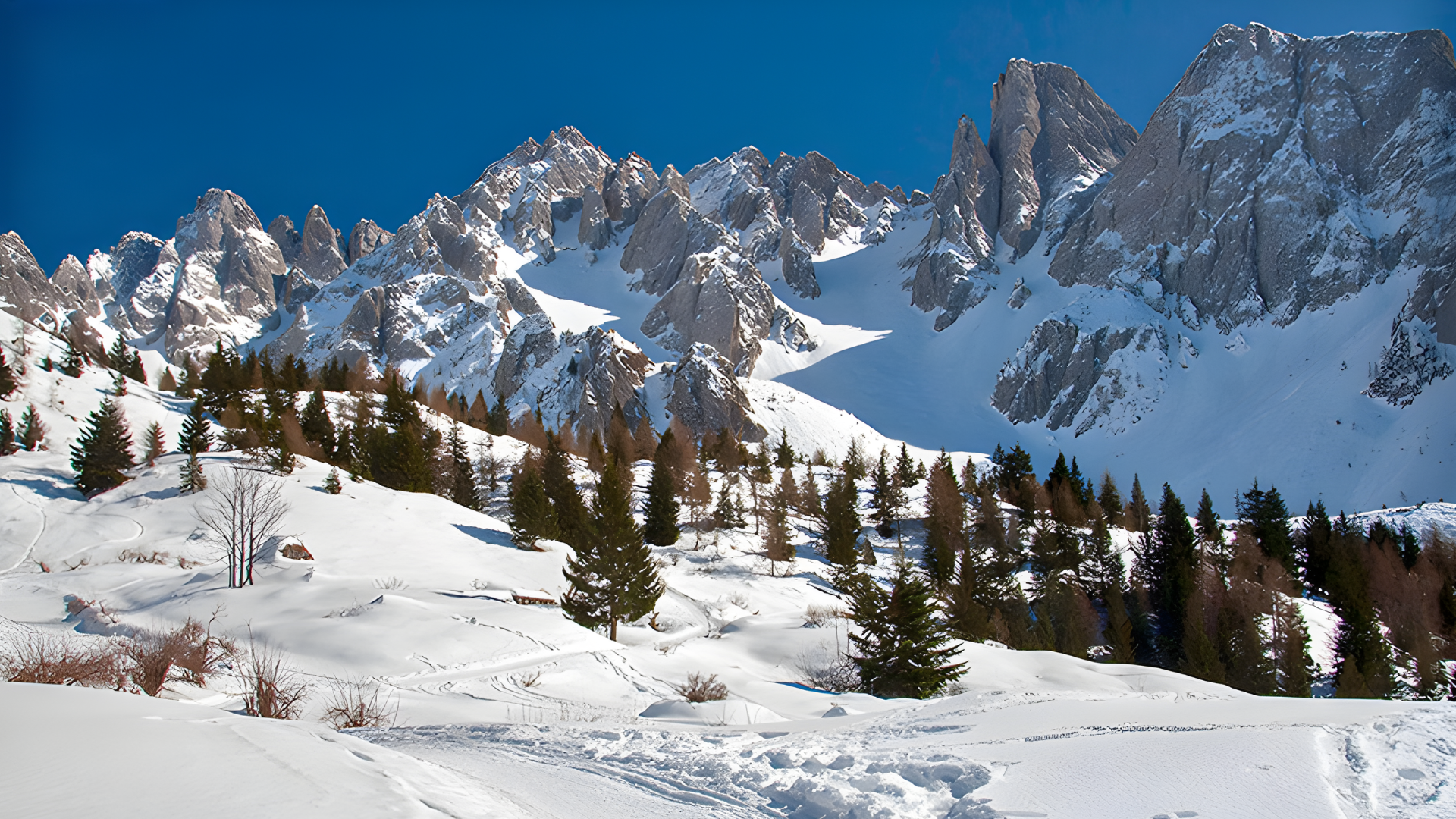
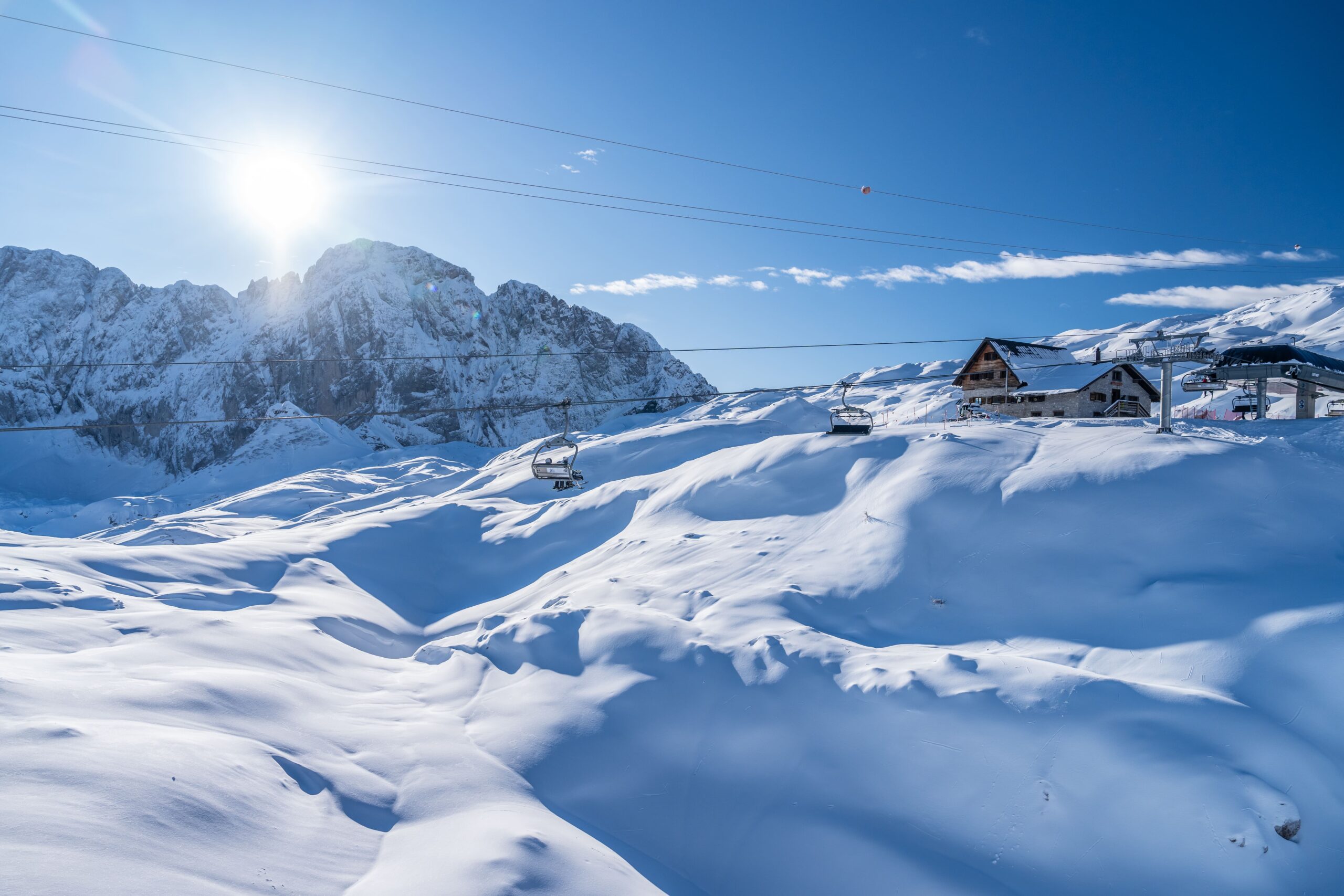
Monte Sasna is a peak over 2000 metres high, renowned for ski mountaineering, consisting of a long ridge that starts from Passo della Manina and extends north-eastwards. The ridge creates a distinct secondary peak, continuing northwards to form Monte Crostaro (2103 m) and north-eastwards beyond Passo di Sasna, at an altitude of 2274 m, continuing along the ridge towards Punta Stefania (2730 m) and Pizzo Tre Confini (2823 m).
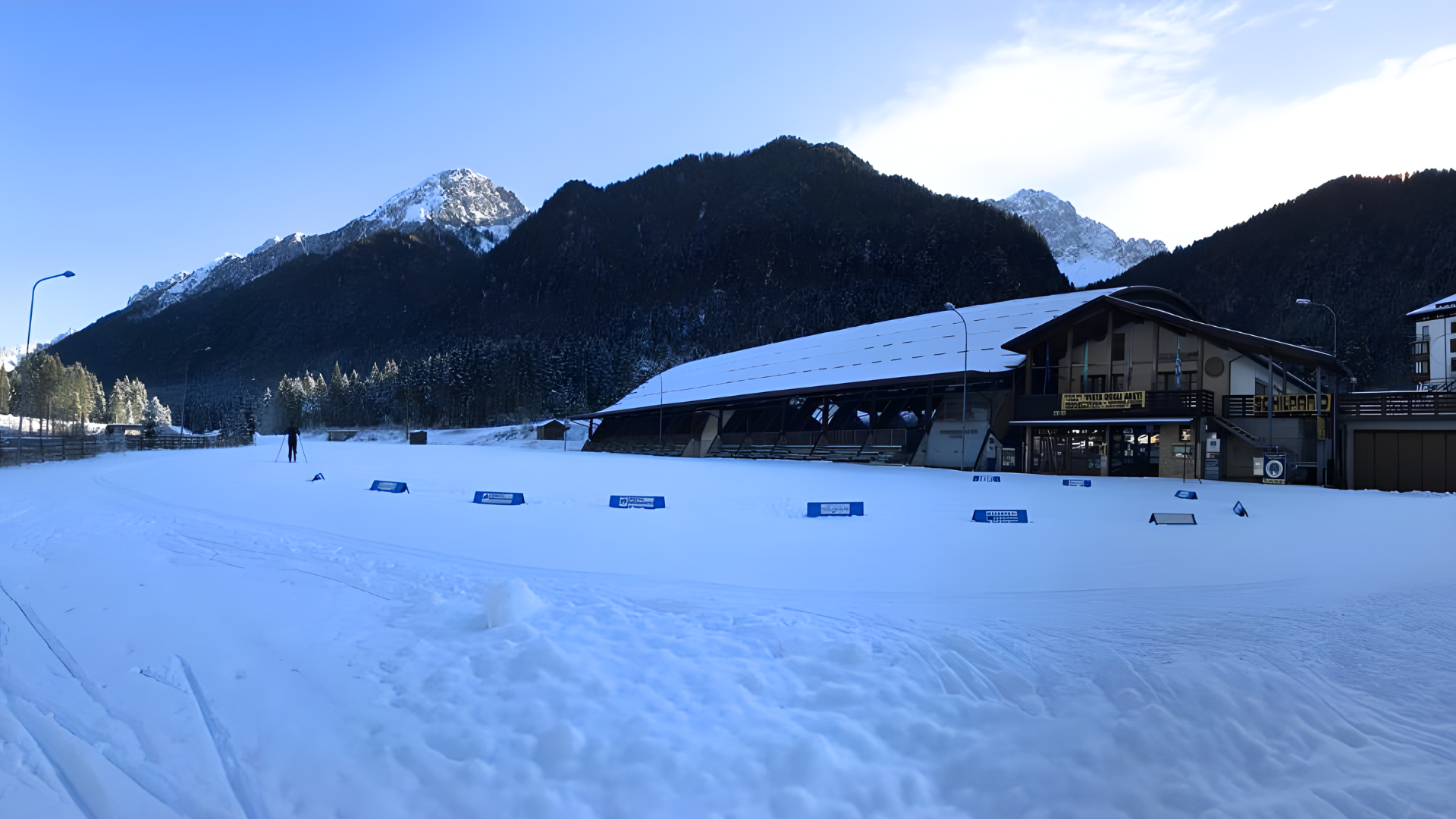
To reach this destination, you can leave your car in the hamlet of Nona in Vilminore di Scalve. The public car park is free of charge during the winter. Car park location: centre. Car park location 2.
Route
A classic winter ski mountaineering itinerary given its south-east exposure. Departure from the hamlet of Nona di Vilminore Scalve. Keep to the right at the entrance to the village until you reach a small car park where the path to the Gleno dam and the forest road leading to the Saline mountain huts (1768 metres) begin. The trail starts on a slight incline to the right for 500 metres and, after passing a few farmhouses, continues uphill to the left, leaving the trail to Gleno. The signs at this point are very clear, separating the trail that leads to the Gleno dam from the one that climbs uphill.
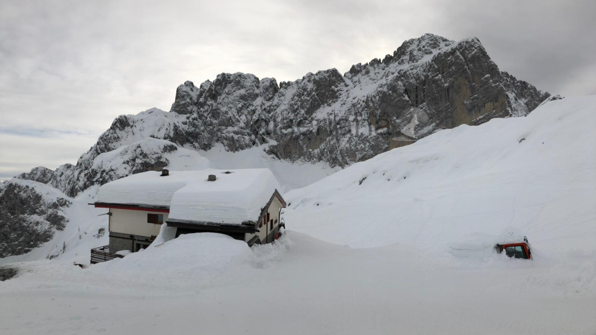
From here, the narrow road climbs steeply through pastures and renovated farmhouses (Baita Esenne 1559 m). At the end of these meadows, the path keeps to the right, crossing diagonally through the beautiful larch forest until it reaches the Saline mountain huts.

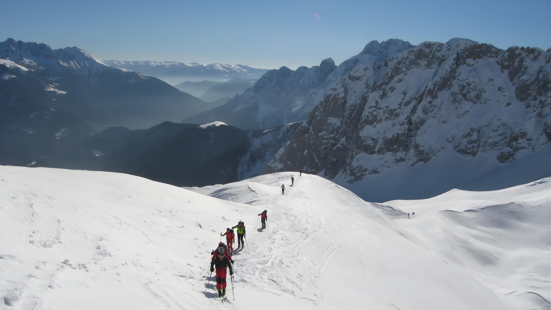
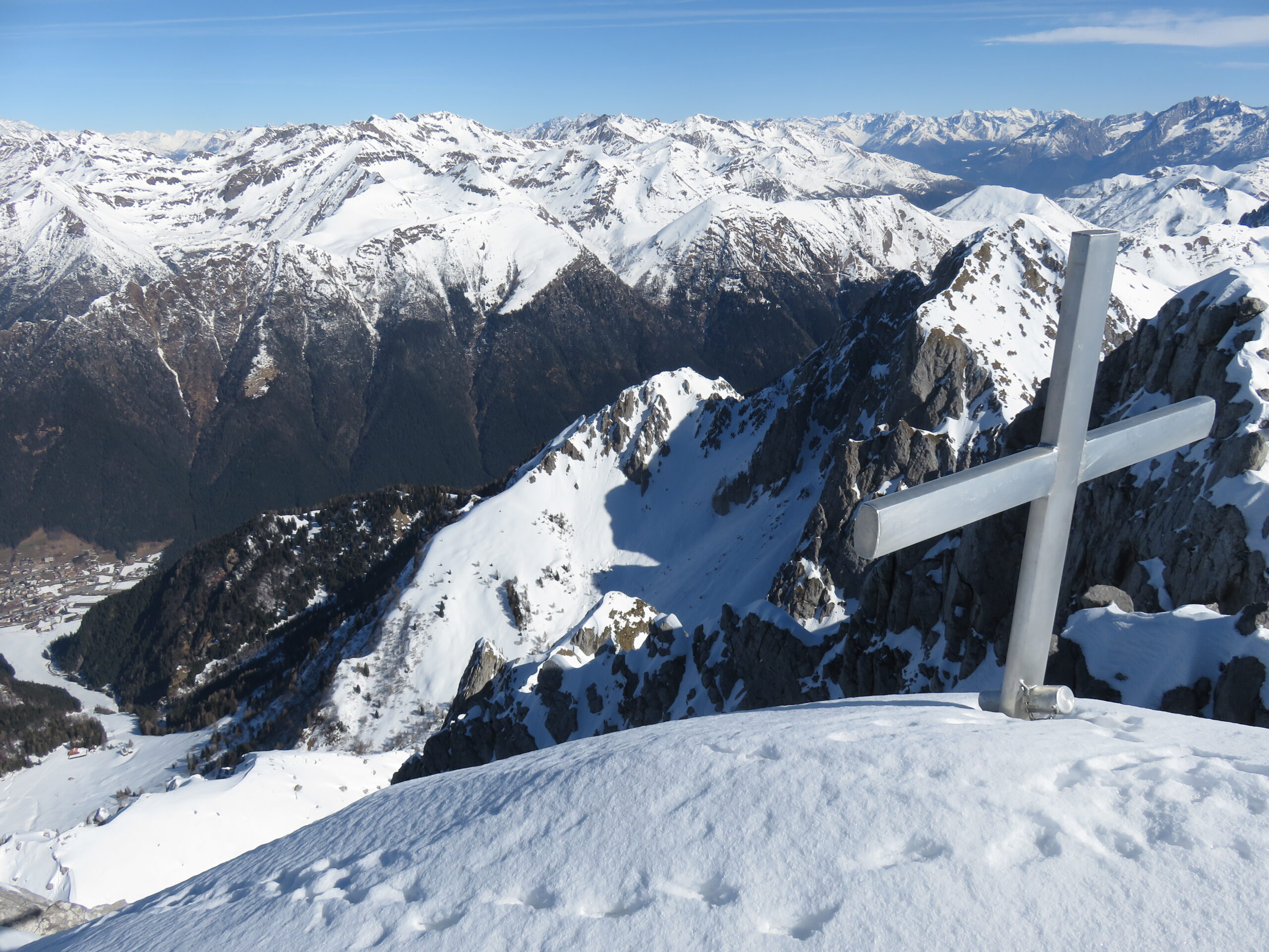
Now climb up the steep ridge above the huts and, after passing a mountain hut (Bellavalle) at 1964 metres, follow it to the first summit cross and then along the summit ridge to the second summit cross, which is the highest.

Descent
There are two options for the descent: the first is to follow the ascent route. In good conditions, you can descend directly from the lower cross to the huts at 1,964 metres and then to the Baite Saline huts; the second (GPX track of the route) descends from the main peak towards the east until it reaches a beautiful basin with a hut on the left (2012m). From here, head towards Saline huts and follow the ascent route downhill.
Maps and Downloads