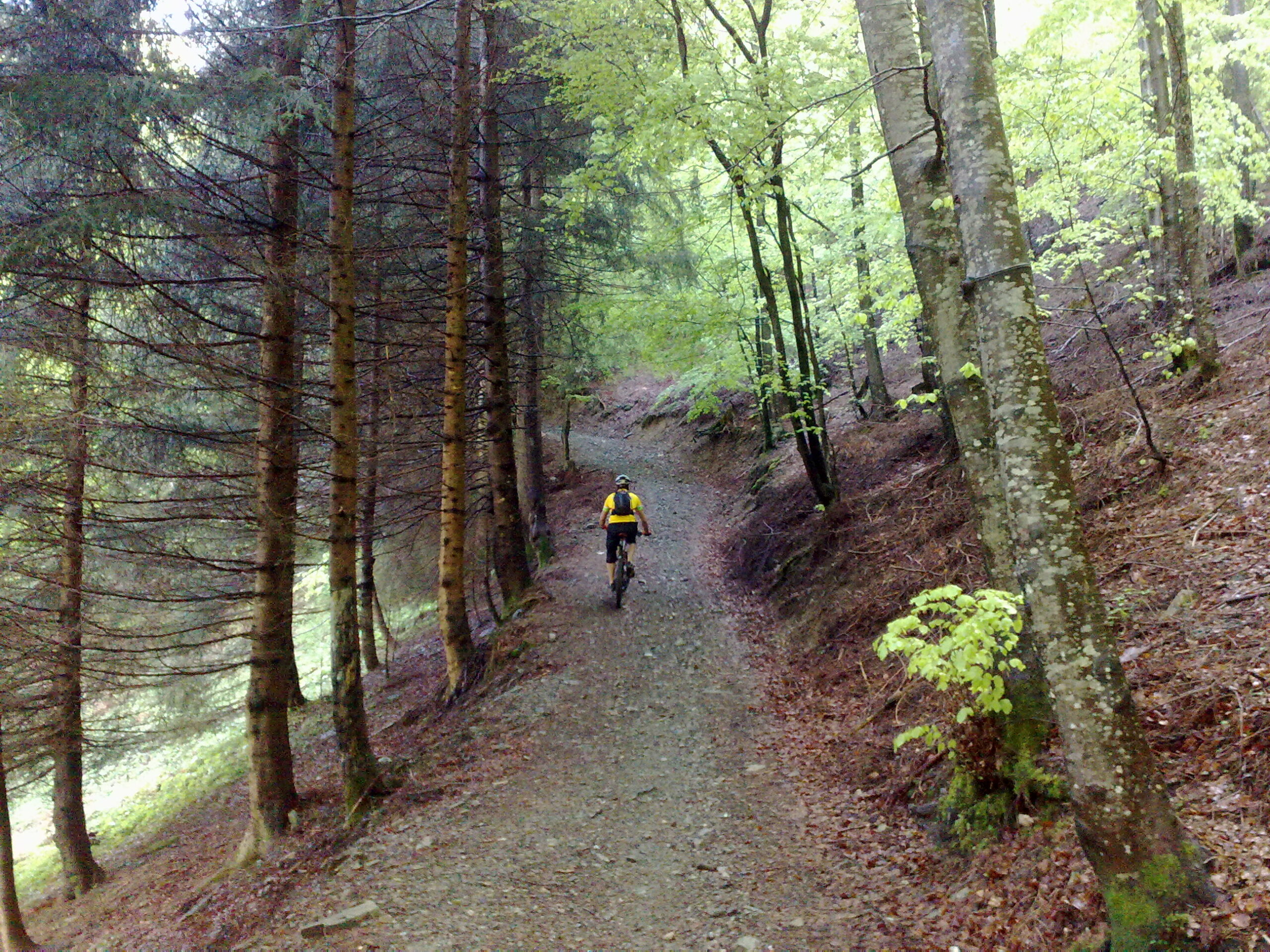
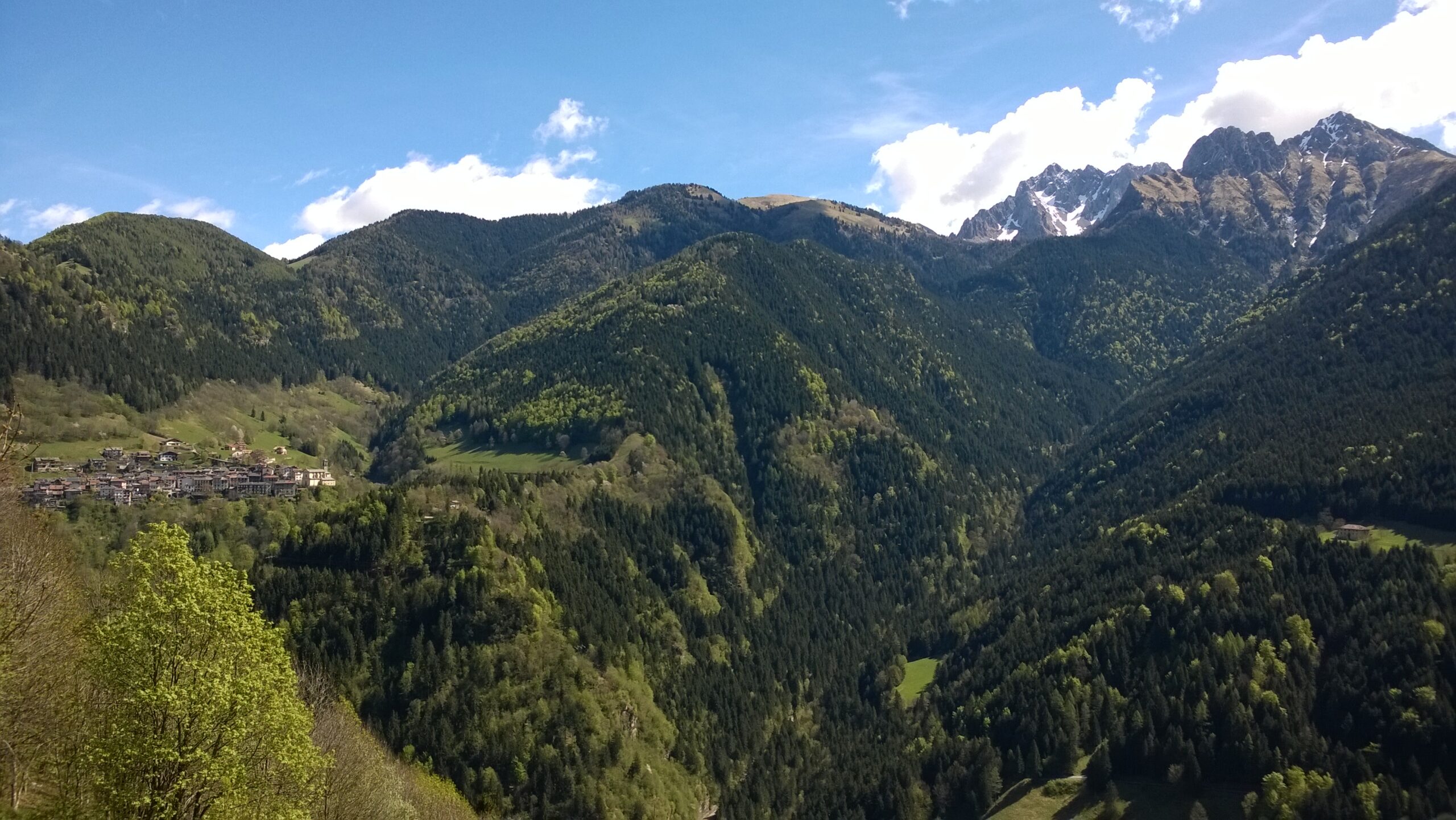
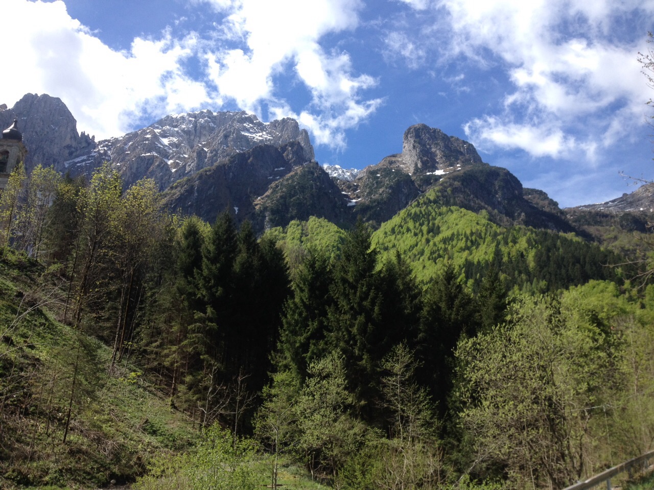
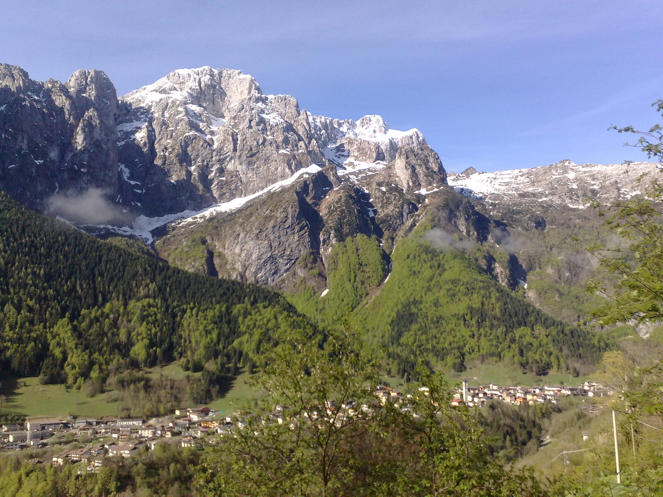
Mountain bike between Pian di Vione and Valle Richetti
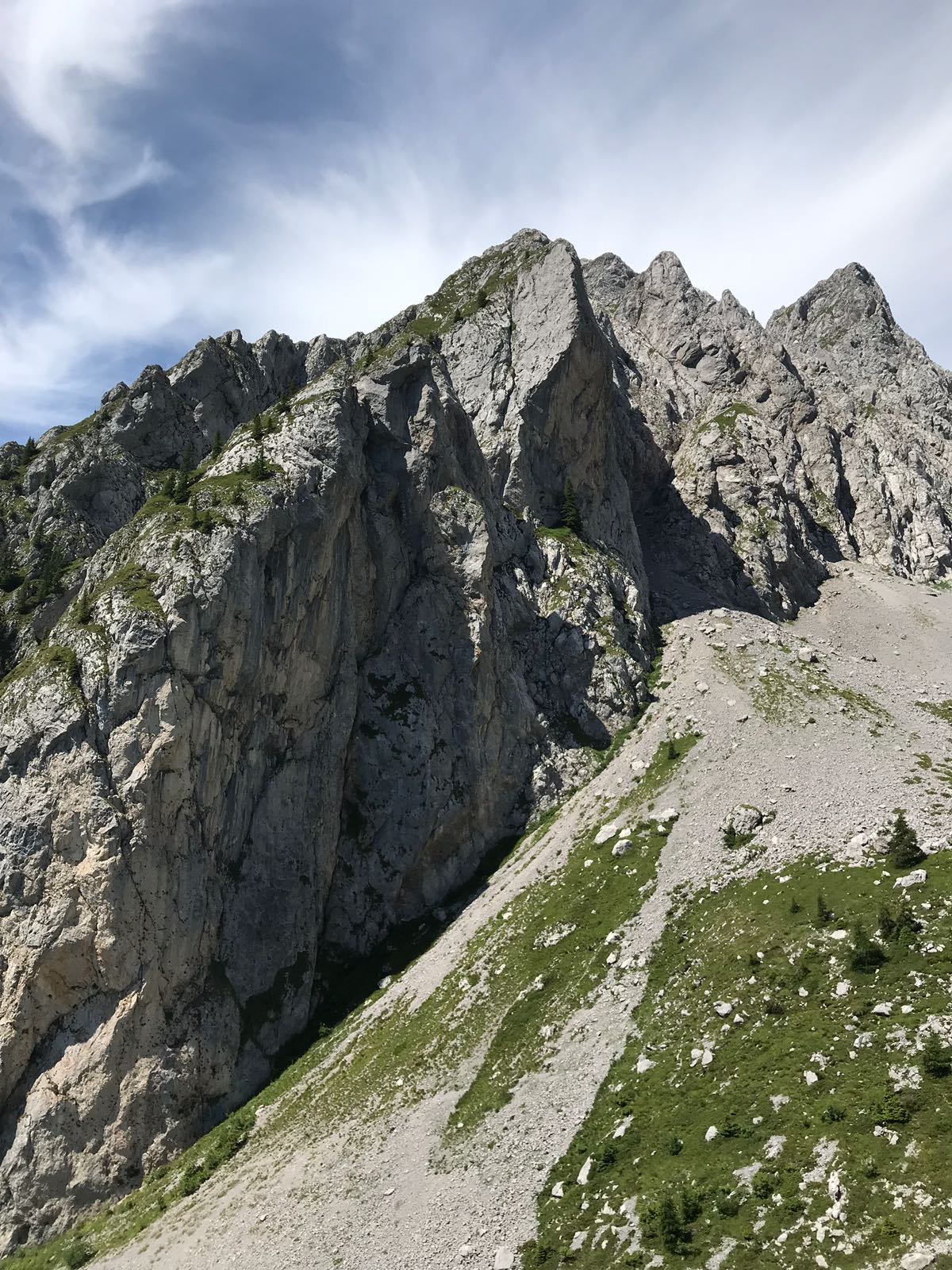
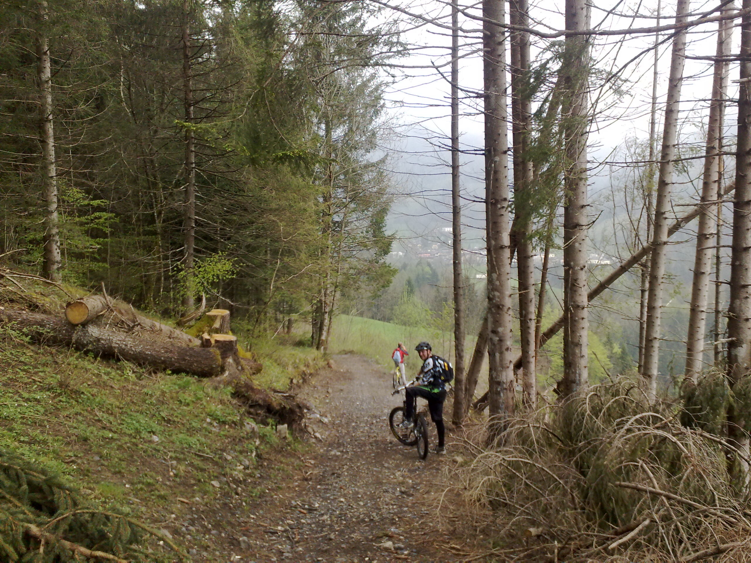
The tranquility, the deep green, and the scent of the forest floor are the main features of this route. Steep uphill sections may require pushing the MTB. The old road between Colere and Teveno is smooth, fun, and fully immersed in the woods. Attention is required on the long descent to the Valbona power plant, as the coarse surface tests suspension, brakes, arms, and legs.
Technical details
Difficulty: MC/MC
Length: 15 km
Moving time: 1 h 27 min
Rideability: (95% uphill) — (95% downhill)
Recommended period: April – October
Surface: Asphalt 30% — Dirt road 50% — Trail 20%
Min. elevation: 755 m — Max. elevation: 1167 m
Elevation gain: Ascent 938 m — Descent 921 m
Bike pushing required: YES — Bike carrying required: NO — GPS track: YES
GPS TRACK IS ESSENTIAL
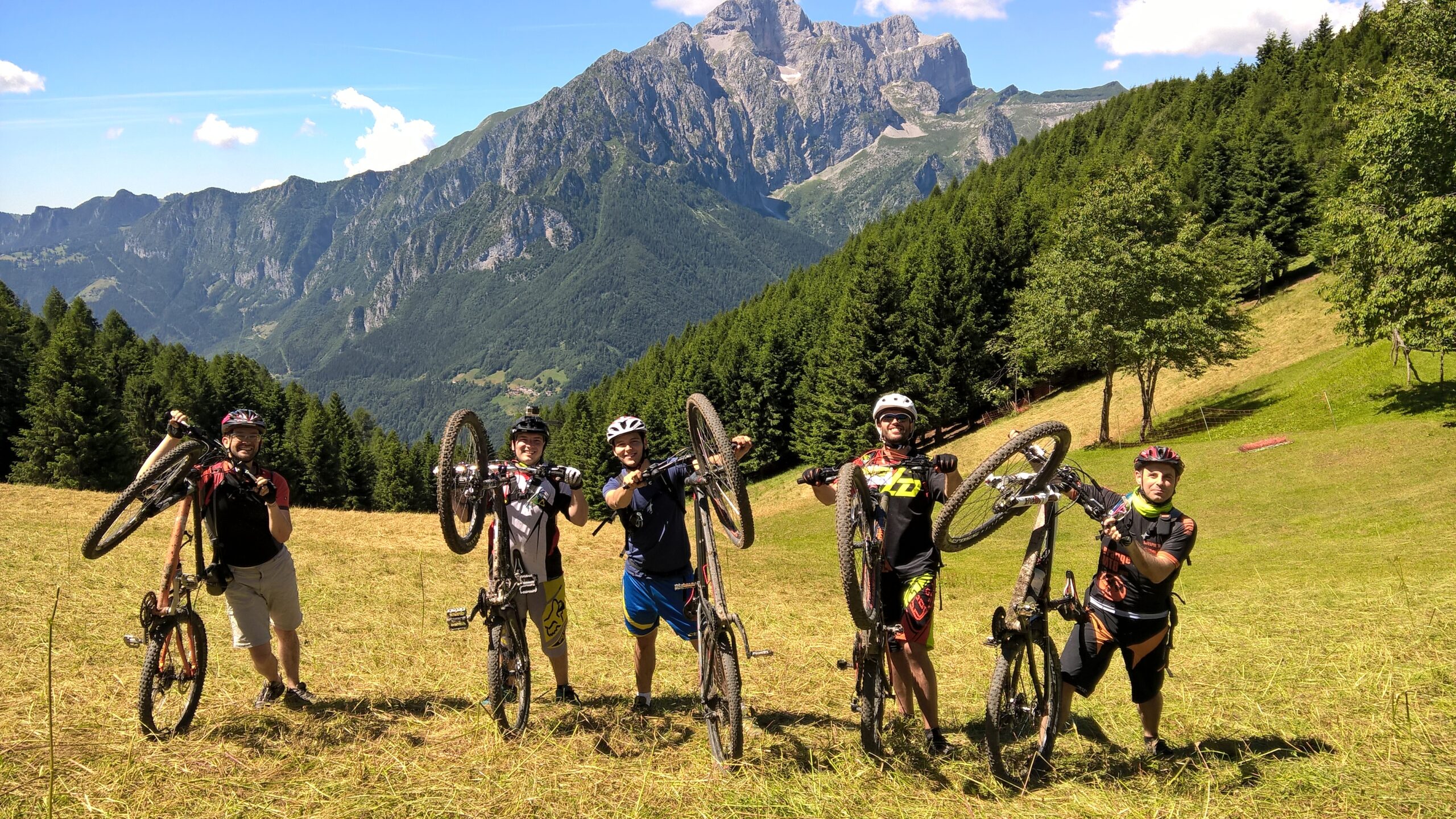
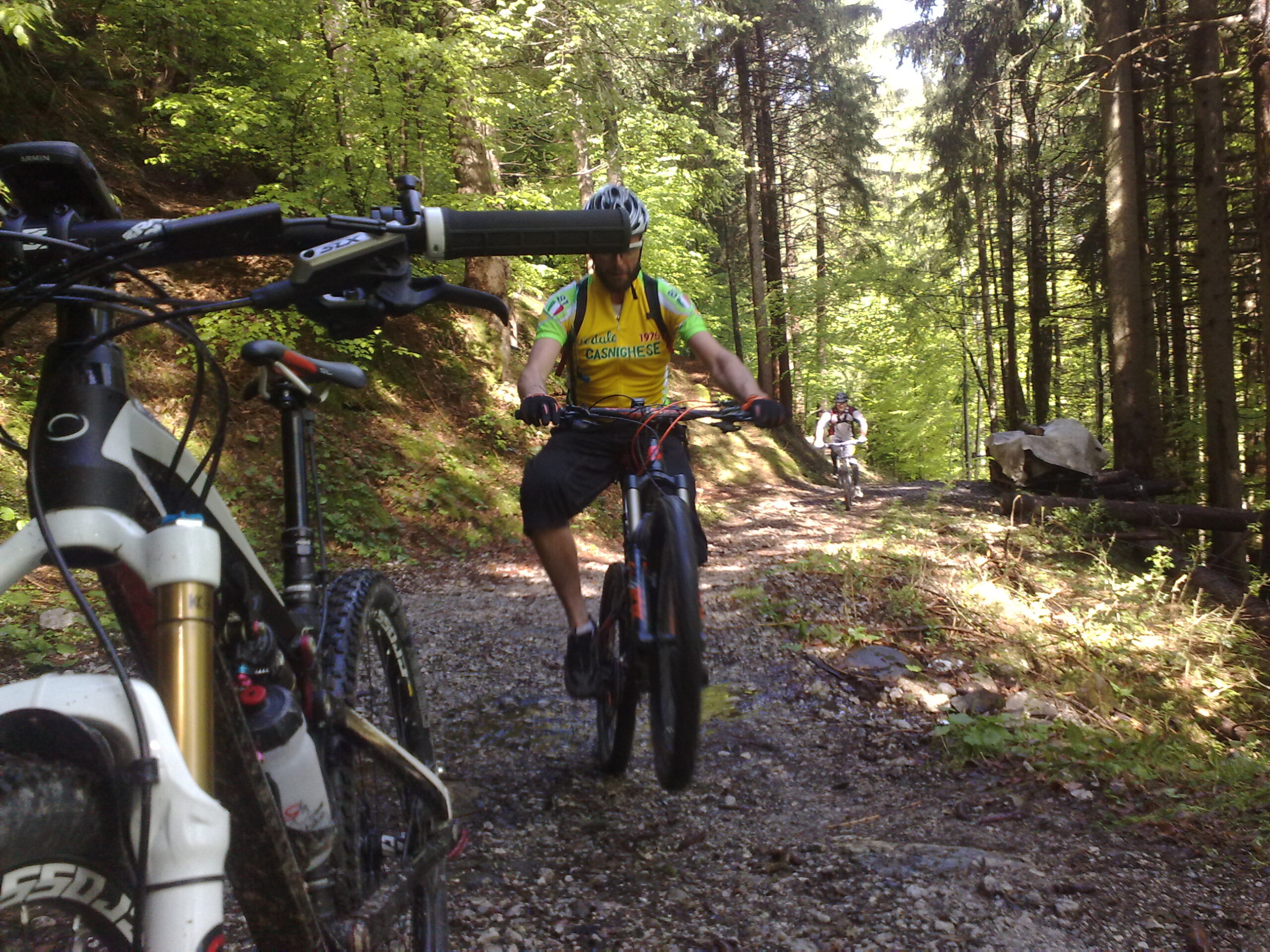
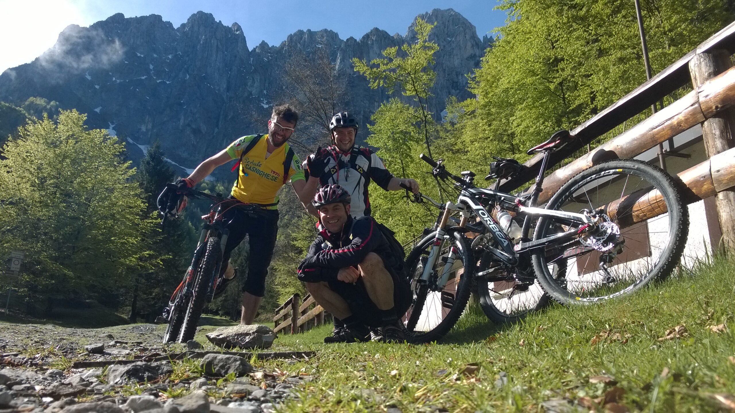
Tested and approved by: Gian Pietro M., Riccardo P., Nicola T., Alex B.
Rating: Good
Technical advice: Always carry caution, courtesy, respect, and proper etiquette. Pay attention to trail deviations. Evaluate weather conditions carefully before starting.
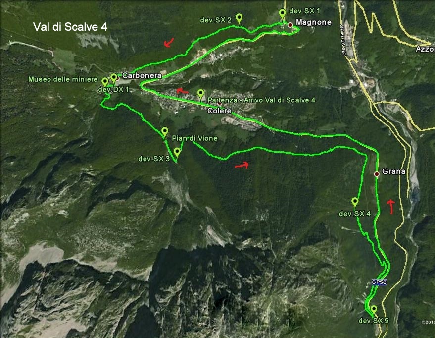
Route
Starting point: Colere, parking lot by the sports field. Facing the sports field, go right and immediately left, keeping the cemetery on your left. Take the downhill trail to the bridge.

Cross the bridge, continue straight along the dirt uphill road (later asphalt). Upon reaching Valzella, continue straight until the top of the climb. At the last houses, turn right to resume the dirt road to a restored farmhouse. Follow the trail until intersecting another dirt road.
WATCH FOR THE NEXT TURN
Turn left along a steep uphill section until reaching asphalt at Magnone. Turn right, then after 300 m at a sharp curve, turn right and descend concrete steps. Resume the trail to the cemetery in Teveno. Turn left onto asphalt, then right to cross the bridge on the Provincial Road.

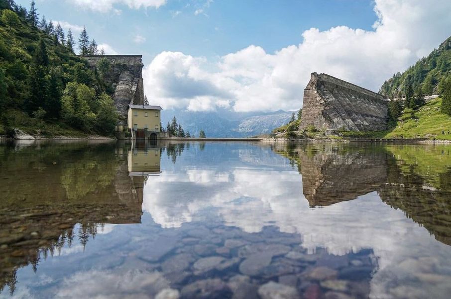
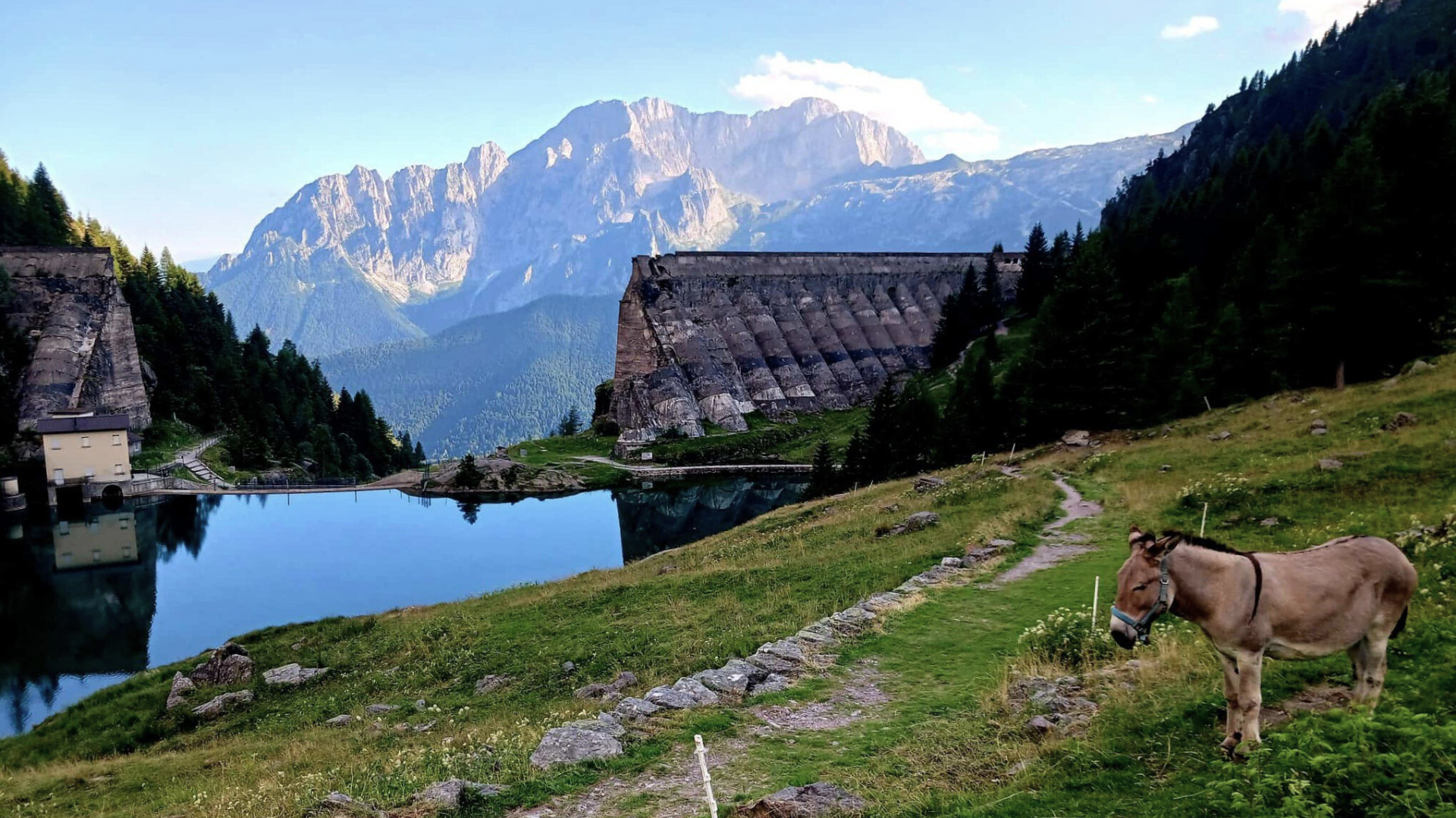
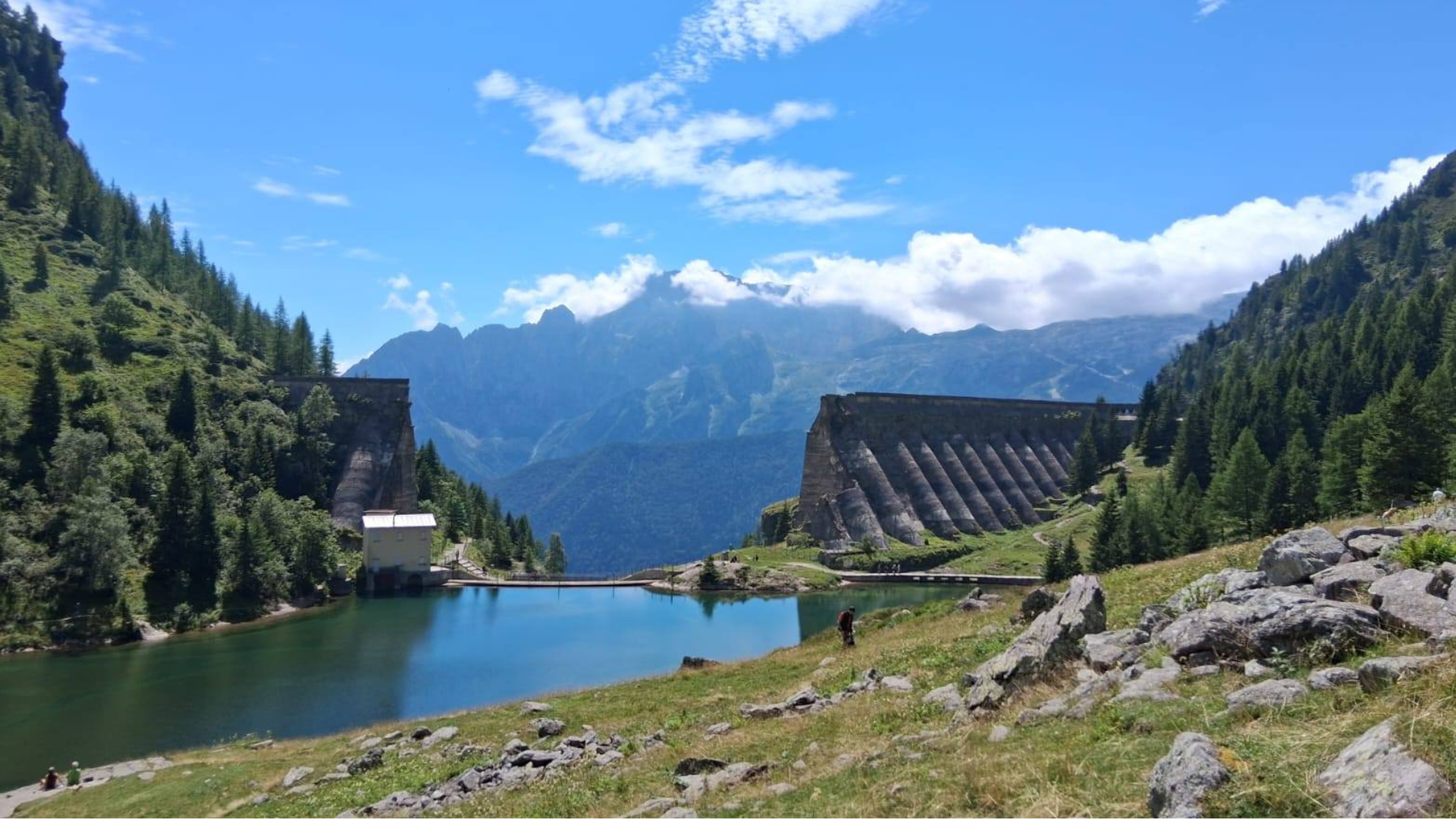
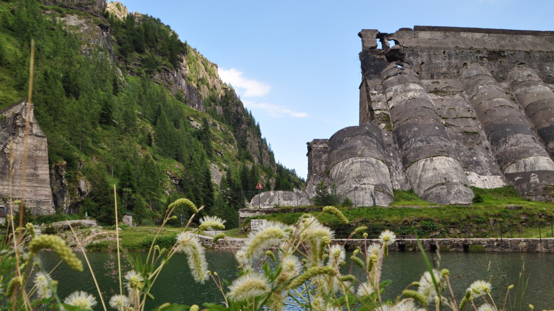
Immediately after the bridge, take the long, challenging dirt descent to the Valbona power plant. Continue until intersecting asphalt again, pass the industrial area of “Ponte Formello” until the stop sign, then turn right toward Dezzo di Scalve.
WATCH FOR THE NEXT TURN
Upon reaching Dezzo, a few meters before the junction for Passo della Presolana, take “Via de O’” to the right. Follow it faithfully. Continue up the cemented road (later dirt), pass the fitness trail and first houses, reach asphalt at the stop. Continue straight, then follow the pedestrian path leading back to the starting point.
Original text adapted. For detailed route map and printable sheet, click here (Route No. 3).
Route published in collaboration with ORANGEMTB
Discover more trails at www.orangemtb.com


Route information
- Difficulty: MC / MC
- Useful months: From April to October
- Recommended MTB: , Full, Front
- Asphalt route: 40%
- Cyclability: 95%
Maps and Downloads