Mountain bike from Schilpario to Campelli pass
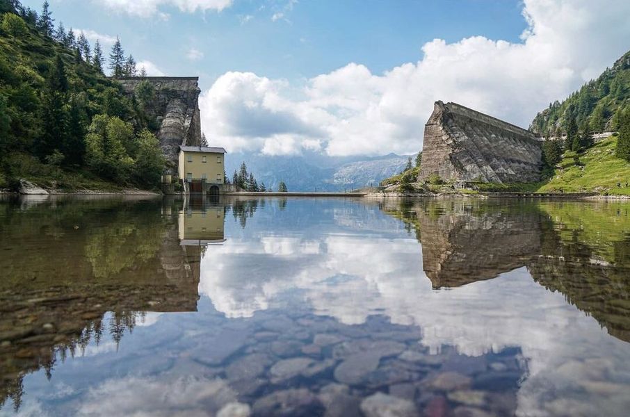
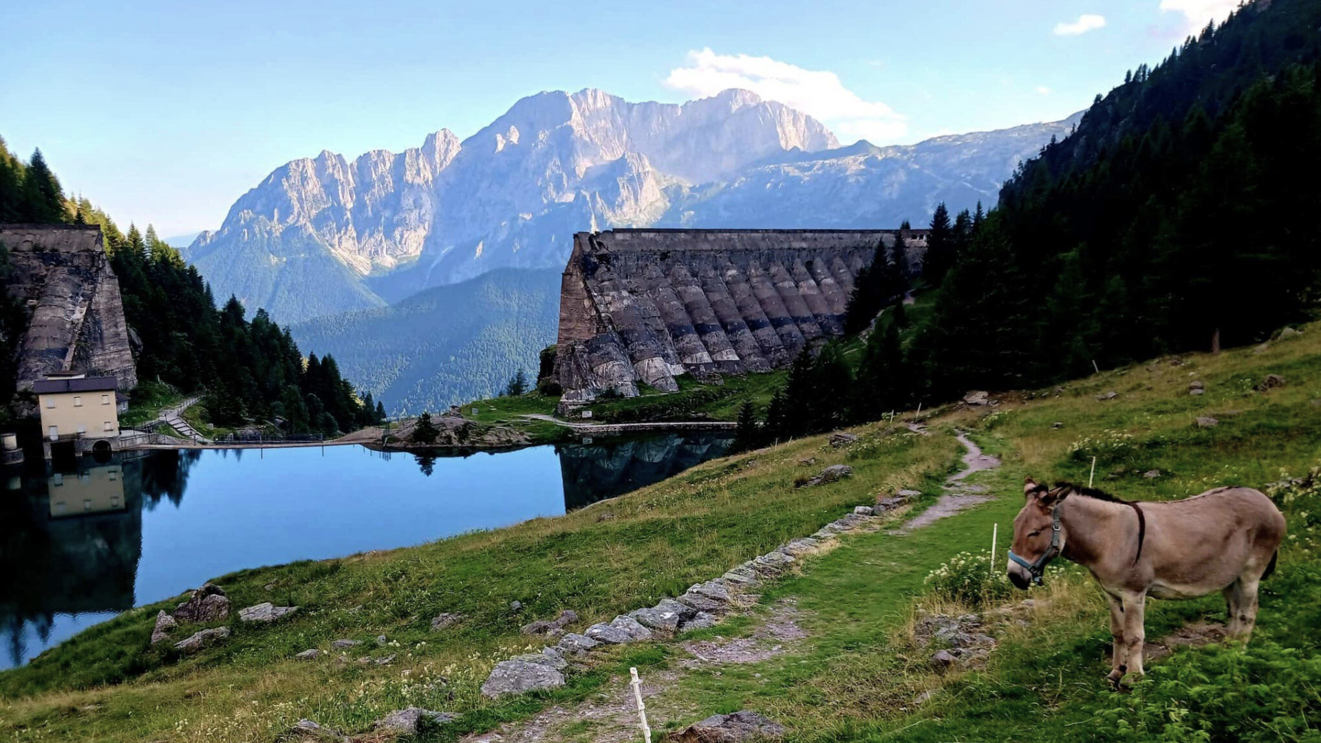
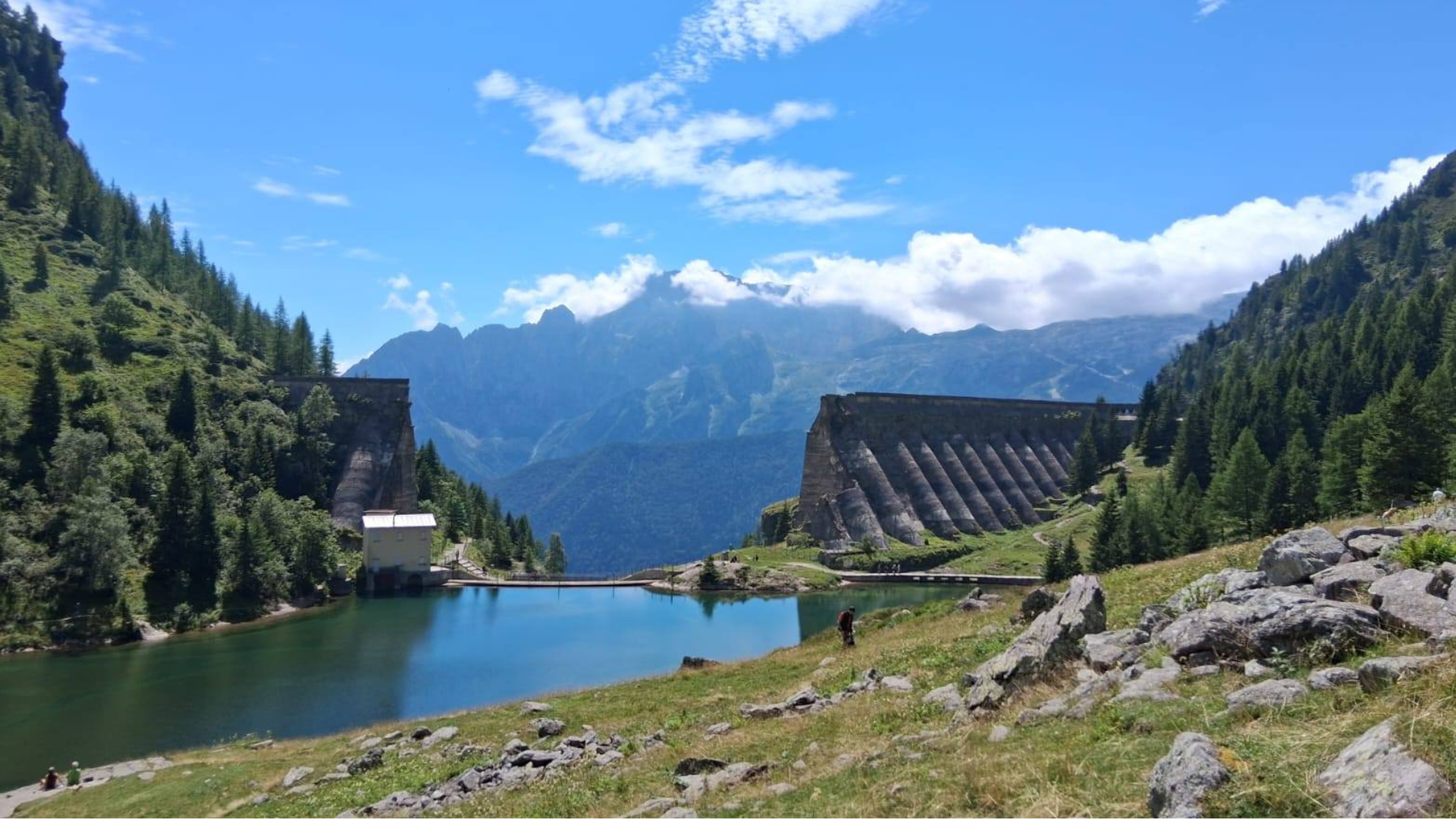
Fascinating and extremely panoramic route, featuring long and challenging climbs as well as fast and technical downhill sections. The peaceful start along the cross-country ski trail prepares you for the demanding ascent to Monte Gardena, a panoramic terrace overlooking the Conca dei Campelli amphitheater. The variant toward the ancient Giovetto mining road requires strong pedaling but offers fantastic views of the Sellero waterfalls. A visit and at least a coffee at Rifugio Campione, near Passo dei Campelli, is a must. The return is technical and adrenaline-filled after passing the Madonnina dei Campelli.
Technical details
Difficulty: MC/BC
Length: 28.5 km
Time in motion: 2 h 51 min
Rideability: (95% uphill) — (95% downhill)
Recommended period: April – October
Asphalt: 30% — Dirt: 40% — Trail: 30%
Min altitude: 1118 m — Max altitude: 1966 m
Elevation gain: Ascent 1509 m — Descent 1503 m
Push sections: YES — Bike carrying sections: NO — GPS track: YES
GPS TRACK IS ESSENTIAL
Tested and approved by: Gian Pietro M., Nicola T., Riccardo P.
Rating: Good
Technical advice: Always carry caution, good manners, respect, and courtesy. Pay attention to trail deviations. Evaluate weather conditions carefully before starting.
Route
Starting point: Piazzale degli Alpini in Schilpario. Follow the main road toward Passo del Vivione, enter the first large square on the right, cross a wooden bridge to reach the start of the cross-country ski trail. Proceed left along the dirt path into the forest, keeping left, until near Ristorante Capriolo. From the restaurant square, turn right along the asphalt road to Passo del Vivione.

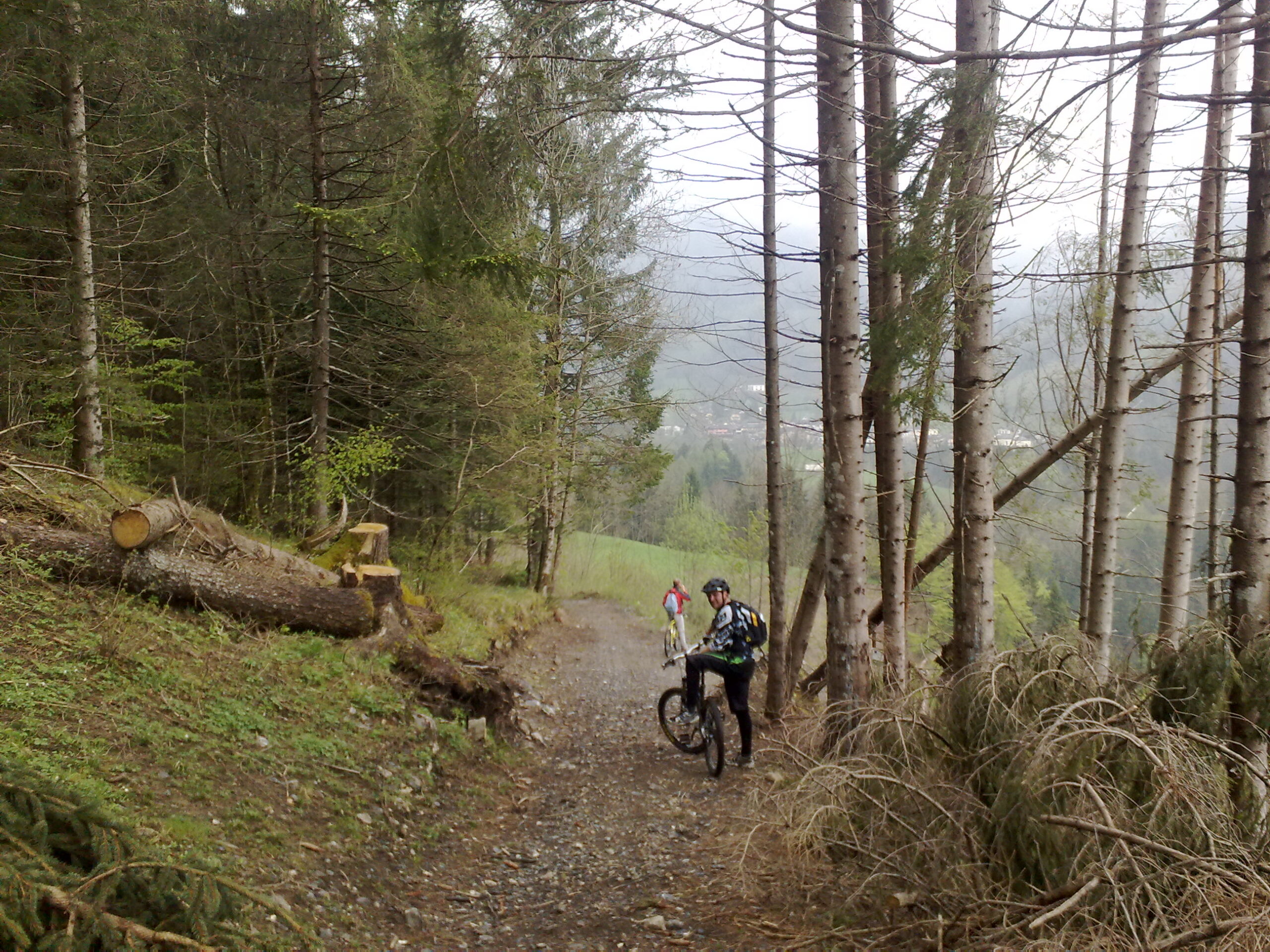
WATCH FOR THE NEXT TURN ON OUR RIGHT: Upon seeing a series of watering troughs, leave the road to the right, a few meters before reaching the tanks, stay right and start descending the meadow along the steep slope. Immediately keep right; the terrain shape helps find the trail that a few dozen meters downstream turns sharply left onto CAI trail 428, which must be followed faithfully.

Follow the technical trail across the hillside to a dirt road in loc. Giovetto. Turn right; at the first fork, an optional uphill variant (~1 km) leads to a panoramic terrace overlooking the Sellero waterfalls; return along the same route. At the previous junction, turn left and follow the dirt road faithfully, then turn left again climbing to Passo dei Campelli. A few meters past the pass, turn left to the road leading to Rifugio Campione.
Descend back along the dirt road to Passo dei Campelli; at the junction, keep left to continue descending. Proceed to the Madonnina dei Campelli. Off-trail, in front of the Madonnina, find the path to the Campelli pond at the foot of Cimon della Bagozza. Resume descent. Before the bridge, turn left, cross two meadows, keep right, continue descending along the route, cross a dry stream, then turn left after ten meters, climb a few meters, then resume descent. Keep left on dirt until reaching a cement road, then continue downhill on asphalt back to the starting point.
Original text adapted. For more information and detailed maps, download the printable sheet or click here (Route No. 9).
Route published in collaboration with ORANGEMTB
Discover more routes at www.orangemtb.com


Route information
- Difficulty: MC / BC
- Useful months: From April to October
- Recommended MTB: , Full, Front
- Asphalt route: 25%
- Cyclability: 95% both ways
- Family friendly: Suitable for families with some training