
Mountain bike between Schilpario and Azzone
Challenging route, especially in the initial steep mandatory section. High-altitude roads and fast forest passages characterize this interesting itinerary, among hunting blinds and renovated barns. The small place of worship, Chiesetta degli Alpini, is a charming spot perfect for a picnic. The return from Azzone allows passing outside a recently renovated old sawmill.
Technical data
Difficulty: BC/BC
Length: 27.3 km
Moving time: 2 h 55 min
Rideability: (90% uphill)—(95% downhill)
Recommended period: April – October
Asphalt: 30% — Unpaved: 50% — Trail: 20%
Minimum altitude: 967 m — Maximum altitude: 1636 m
Elevation gain: Ascent 2056 m — Descent 2055 m
Push sections: YES — Carry bike sections: YES — GPS track: YES
GPS TRACK ESSENTIAL
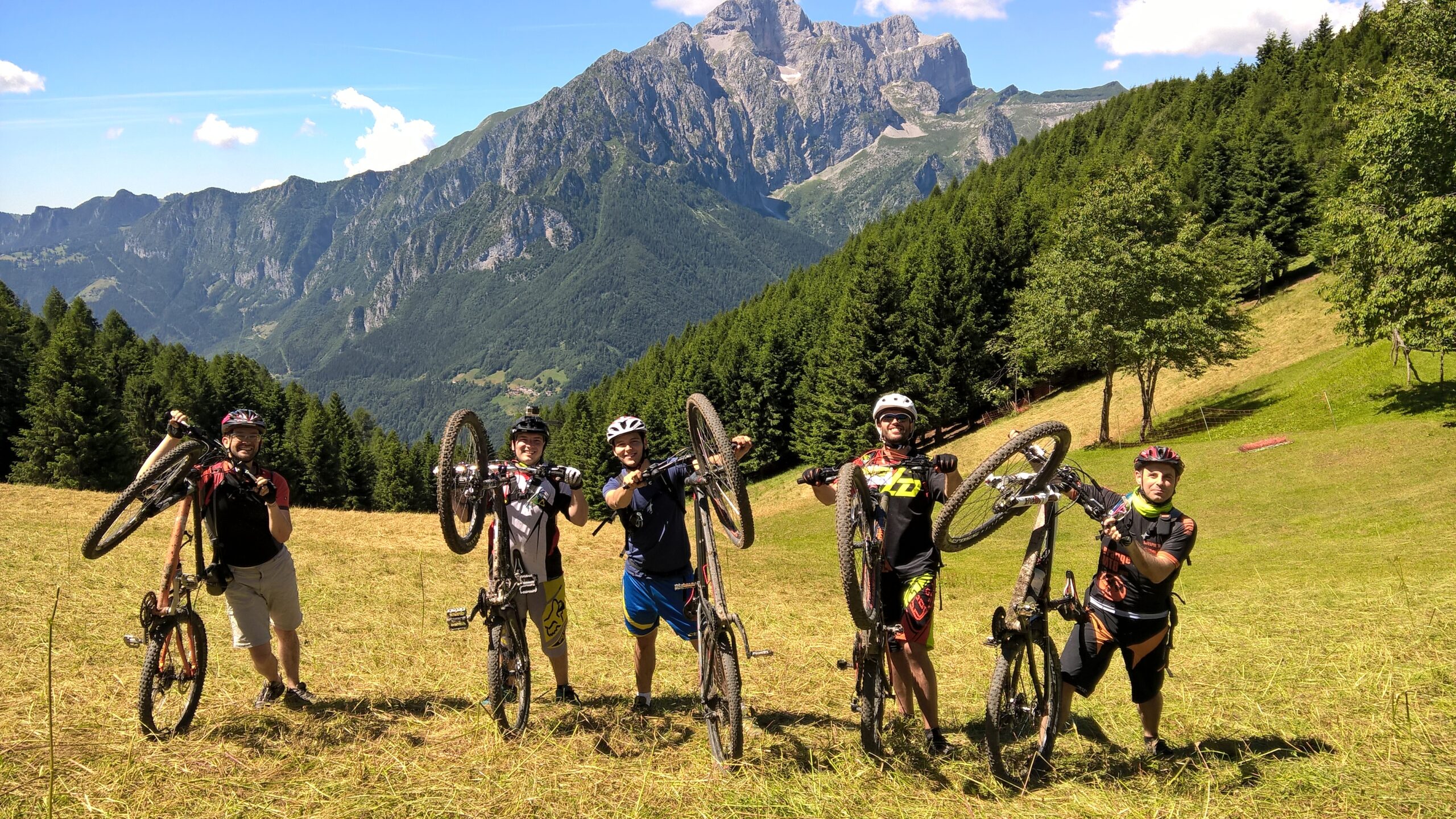
Tested by: Gian Pietro M. – Nicola T. – Riccardo P. – Davide B
Rating: Good
Technical advice: Always carry caution, politeness, respect, and courtesy. Pay attention to marked detours. Carefully evaluate weather conditions before starting.
Route
The starting point is in Schilpario at the Alpini square. We continue towards its top and take via Paradiso, above the tennis court. We go straight until the end and then take a flat straight dirt road. We pass the metal grate over the stream and stay on the main road, slightly downhill. At the first junction we keep right, and at the next, after a few dozen meters, we turn right and start climbing.

At the top of the climb, after a wooden bridge, we reach a huge meadow and turn left along the steep climb that leads to Conca di Epolo. The most determined will attempt some pedaling, while the rest will need to carry the bike.
Upon reaching the end of the old lifts, we turn right onto the grassy trail that cuts across the meadow until meeting the dirt road, close to an animal shelter. We continue along the slightly uphill road, which then descends to Malga di Val di Voglia. We turn left, keeping the altitude, and follow the flat road until the end of the dirt track.
We faithfully follow CAI trail 419 until reaching Roccolo della Clusorina, one of the two functioning hunting blinds in the Val di Scalve area, offering a unique panorama. From the roccolo, skirting the bush structure next to the stone building, we follow the beautiful fast and technical trail to reach the “Colle” meadow, whose characteristic shape gives the location its name. From here, a steep and rough dirt road leads to a junction; we keep right and continue downhill.

At the next junction, after a few meters, we keep right along a gentle descent and faithfully follow the road downhill. At the next junction, we keep left (be careful not to go straight). We continue descending, passing a steep cemented section, at the end of which we reach a vast meadow (Prato Grande), ending at a fork.
We turn left and start climbing again, following the road. After passing the characteristic Chiesetta degli Alpini with its pointed roof, we continue along a flat section and, after an exhausting cemented climb, reach the “Colle” location again. We retrace a few dozen meters previously descended and keep right towards “Baite Some”.

Upon reaching the end of the Some meadow, recognizable by the characteristic renovated barns, we turn right at the junction and start descending. We descend steeply along the main road (consider taking breaks to avoid overheating the brakes). Once in the valley bottom, we turn right along the flat section towards the village of Azzone (be careful of the recently renovated sawmill on the left).
From the village of Azzone, follow the uphill asphalt signs to Schilpario. After passing the hamlet of Pradella, we reach the “Serta” area and finally return to the Alpini square in Schilpario, the original starting point.
Original text modified. For more information and detailed route info, you can download the printable sheet or click here (Route No. 8).
Route published in collaboration with ORANGEMTB.COM
Discover many other routes at www.orangemtb.com


Route information
- Difficulty: BC / BC
- Useful months: From april to october
- Recommended MTB: , Full, Front
- Asphalt route: 25%
- Cyclability: 90% uphill 95% downhill