
Bueggio – Gleno dam hiking path
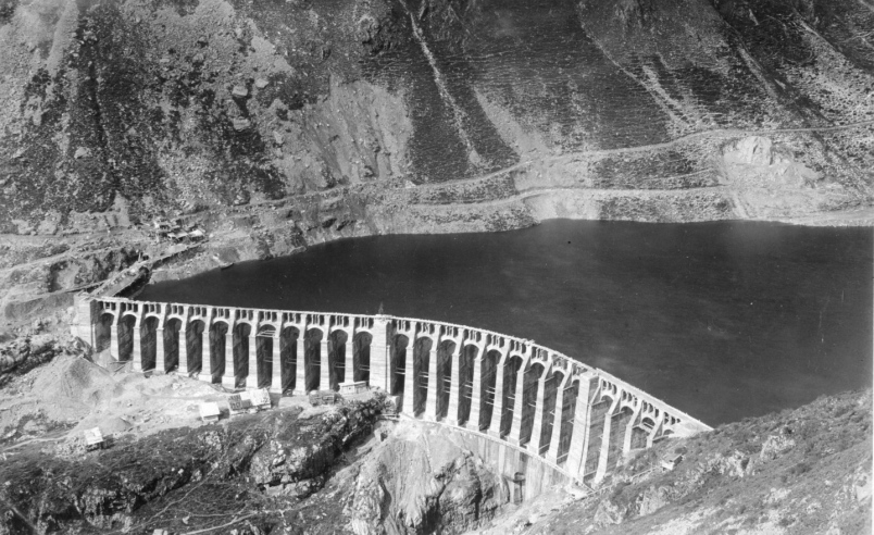
The trek to the Gleno Dam combines the natural beauty of Val di Scalve with the memory of the tragic Gleno Dam disaster. The route from Bueggio, ascending from the Ponte del Gleno area, has the advantage of being almost entirely shaded by the forest, making it ideal even on sunny days. Loved and well-known by locals, and walked every year during the historic relay race, its main disadvantage is the greater elevation gain compared to the better-known CAI 411 from Pianezza.
Route:
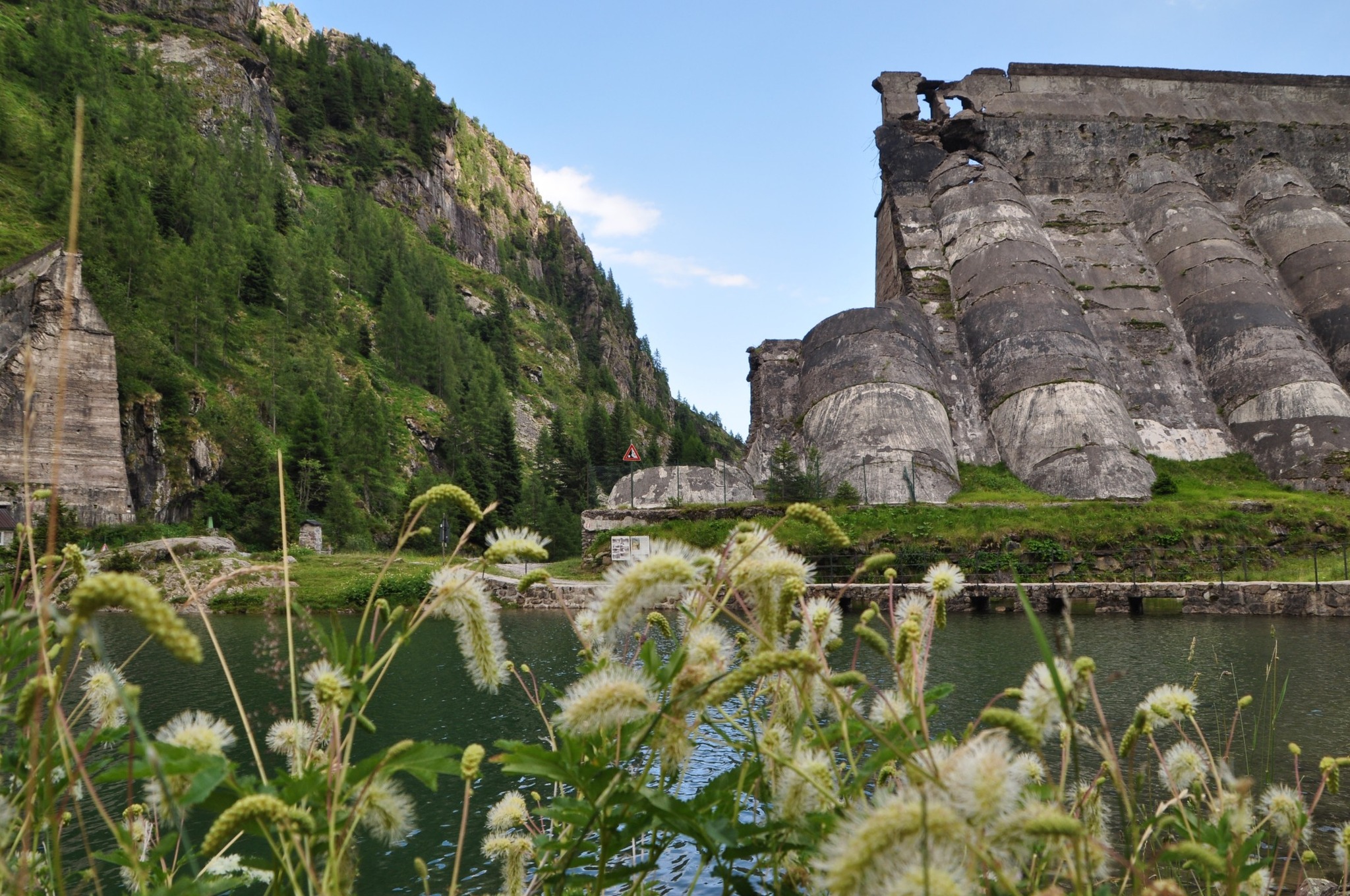
From Bueggio (1052 m a.s.l.), the path climbs along the left side of the Gleno stream and follows a gently sloping trail until reaching the “Ponte del Gleno” area, where it intersects with paths coming from San Carlo, Roccolo, and Nona (via the Corne Strette). In the Ponte del Gleno area, it is easy to observe the so-called “giants’ kettles.”
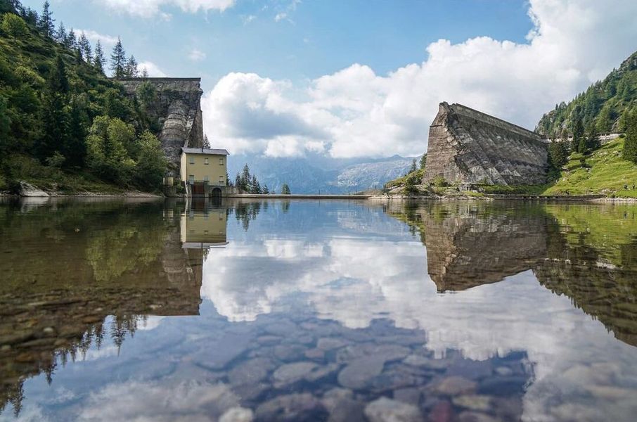
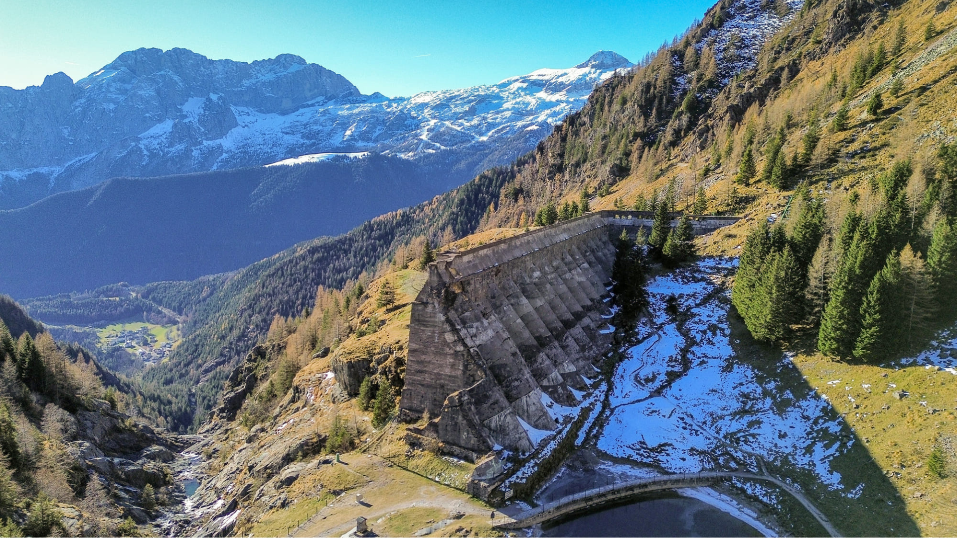
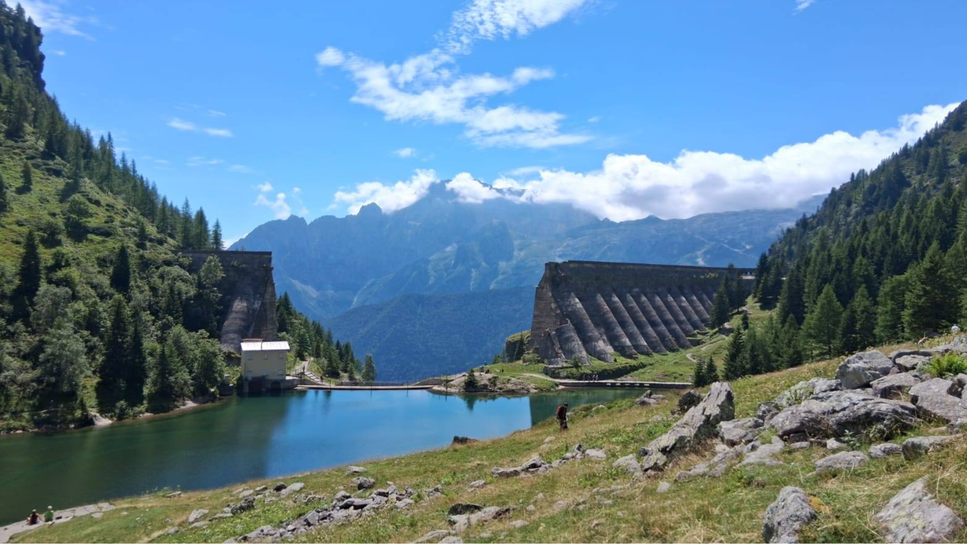
From here, the CAI 410 trail becomes steeper, enters the forest, and continues toward the Gleno Dam. Midway along the route, there is a wildlife observation point. Additionally, along the entire trail, you can see detrital deposits of Lombard Verrucano. Near the dam, the path levels out, and the trail from Nona joins. After crossing a valley, a final small ascent allows you to reach a ridge from which the ruins of the Gleno Dam can be seen.
To return to the starting point, you can either descend the same path you climbed or take a longer route via Nona or Pianezza.
Download the GPX track of the route at the bottom of this page and consult the trail map.
Gleno Exhibition Space:
- In Vilminore di Scalve, since June 2018, a permanent exhibition about the Gleno Dam disaster has been open at Piazza Giustizia 1. For more information: CLICK HERE
- The online portal “Archivio Gleno” allows you to consult photographs and historical artifacts related to the Gleno Disaster: CLICK HERE
We recommend visiting this page to learn more and plan your excursion to the Gleno Dam:
Gleno Dam – Important Information
Route information
- Fino a 500: Fino a 500
- 410: 410