
Belvedere Alpino – the lightblue path
The colored trails are the result of a restoration project of abandoned paths in the municipality of Colere, carried out by the Alpini group. Many secondary routes that are not included, or only partially included, in the classification of the Club Alpino Italiano (CAI) have been restored, enhanced, and classified using different colors.
Traditionally, these paths were used for gathering mushrooms, firewood, leaf litter, and small berries; today they represent a traditional heritage that keeps alive the historical memory of a community.
Starting point:
The starting point for this route can be Colere, close to the village centre, in the area of Palacolere, also the tennis pitch. Parking location here. From the parking location you can then reach the official starting point of the hike here.
Route:
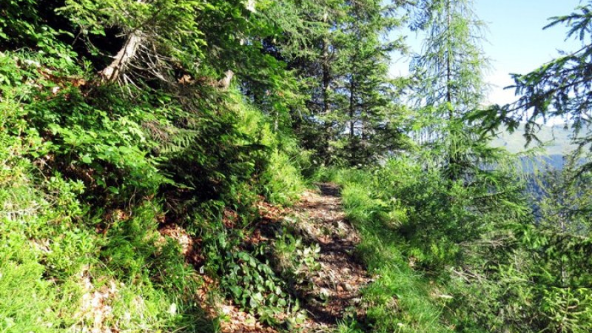
From here, you can follow the steep way in the woods that leads to Pian di Vione, a beautiful area for picnics, that you’ll reach in about 20 minutes walk from the parking spot. From here you can follow the indications that go to Albani hut (Rifugio Albani).
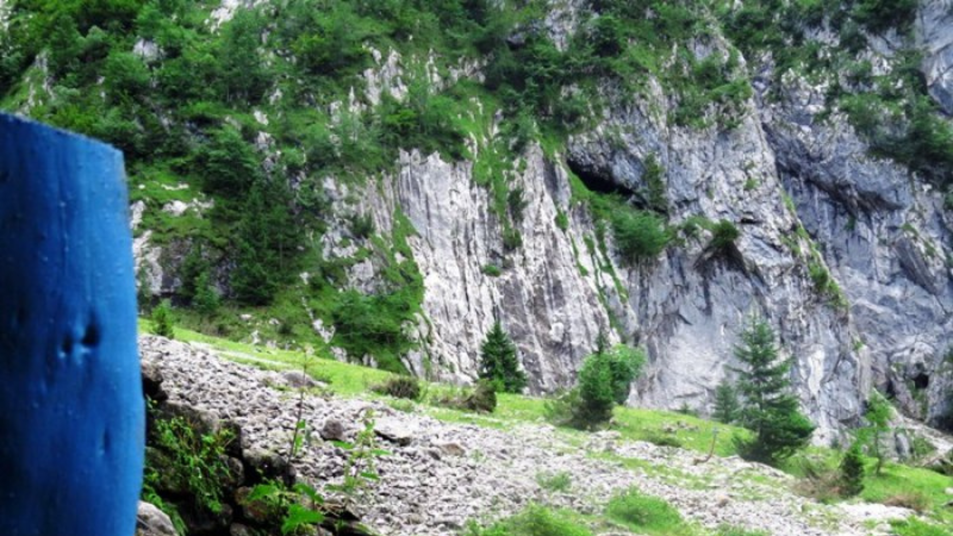
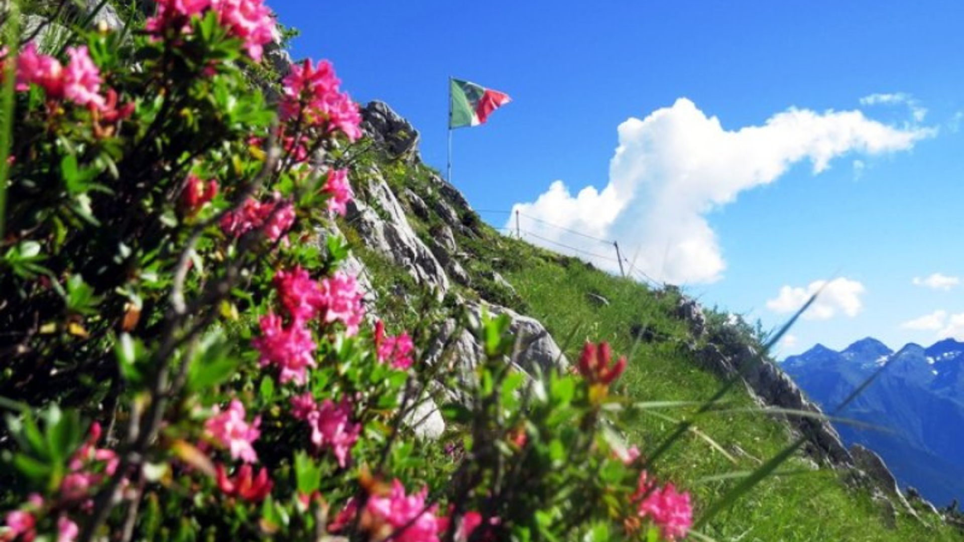
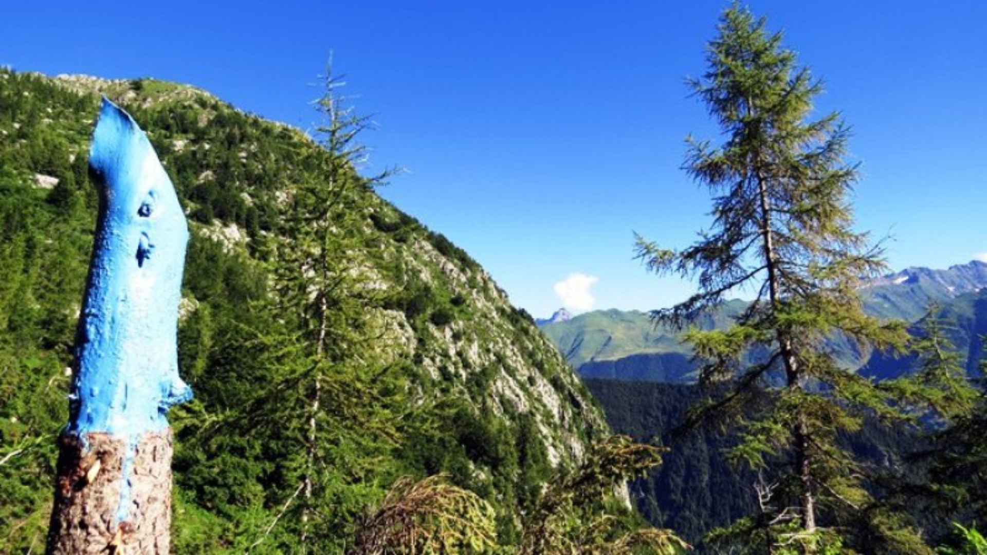
At this point, you can have a look around at the beautiful vegetation that surrounds this area.
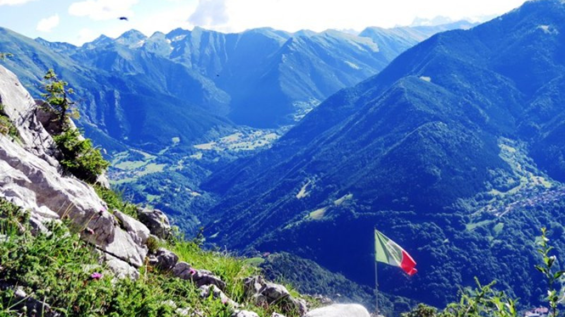
At one point, follow the indication that says “Belvedere alpino” to reach the beautiful spot, created by the local Alpini group. Leaving the main path on the right, in just a few minutes you reach a small plateau that has been properly arranged and secured, from which you can admire the view over the village of Colere below and the rest of the Val di Scalve.
Return:
From here, you can either continue the hike up to Albani hut or return to Colere following the same path.


Route information
- Fino a 1000: Fino a 1000