
Nona – malga Saline – Sasna peak
A moderately difficult hike starting from the hamlet of Nona, passing through mountain huts and pastures to reach the summit of Monte Sasna. Much of the route is on mule tracks. We recommend the circular route with descent from the Manina pass.
Departure
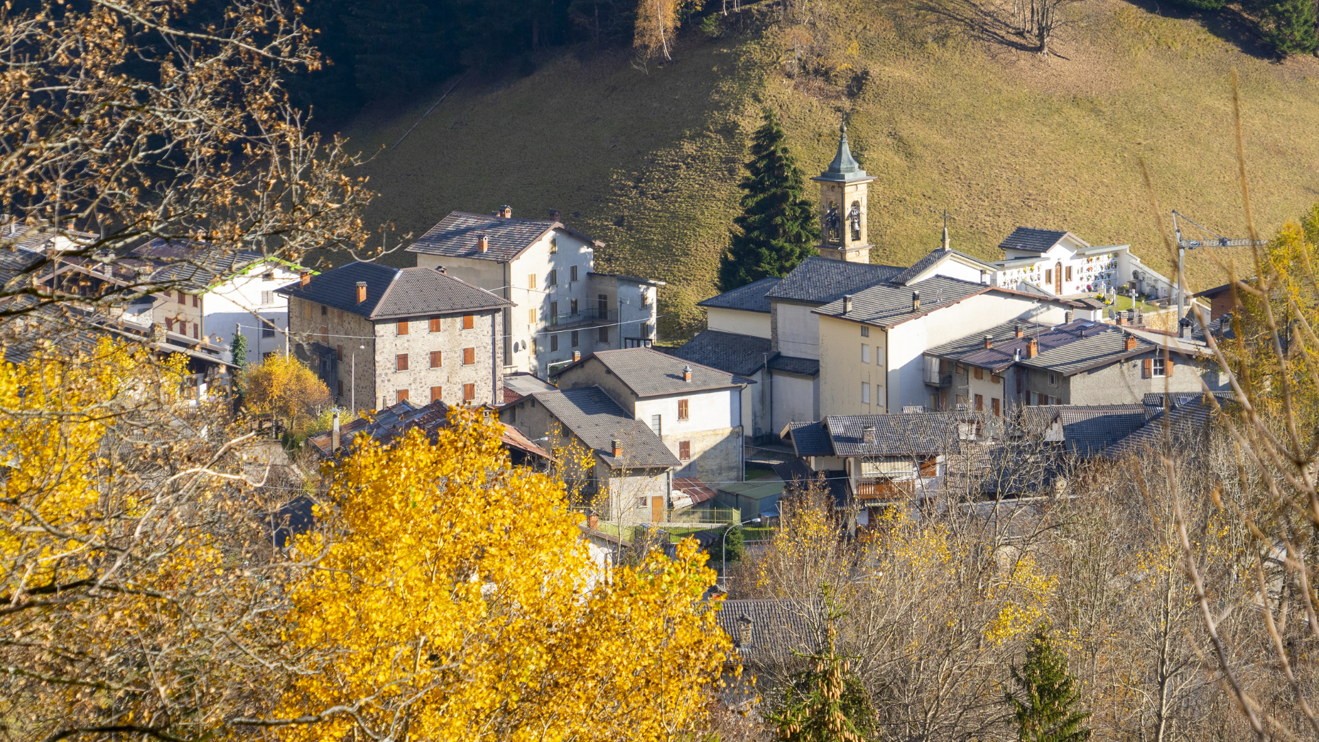
The hike starts from the hamlet of Nona di Vilminore di Scalve, the highest village in the valley. It was once very important as it was the last stop for traffic travelling to Valbondione and Valle Seriana via the Manina Pass. Once you arrive in Nona, you can park in the village or at the car park indicated by the coordinates HERE. During the summer, both car parks are subject to payment via Gratta&Sosta.
Route
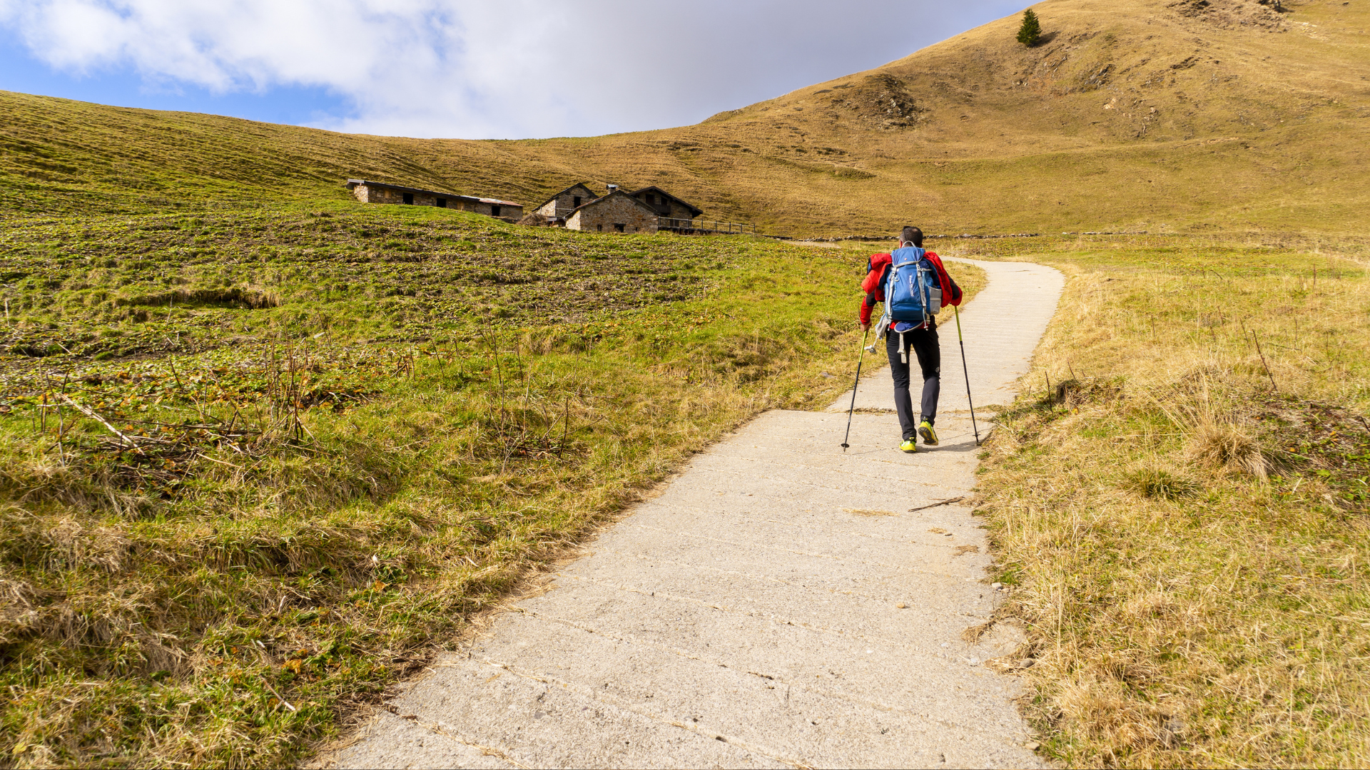
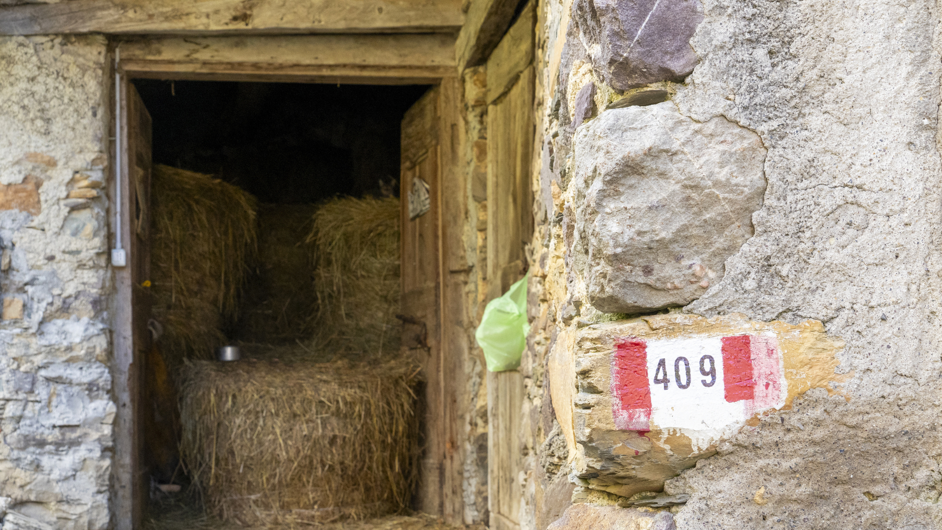
From the car park, take trail 409, which begins with a slight descent, then continue left at the fork, arriving at the village of Designo, the ancient capital of Nona itself.
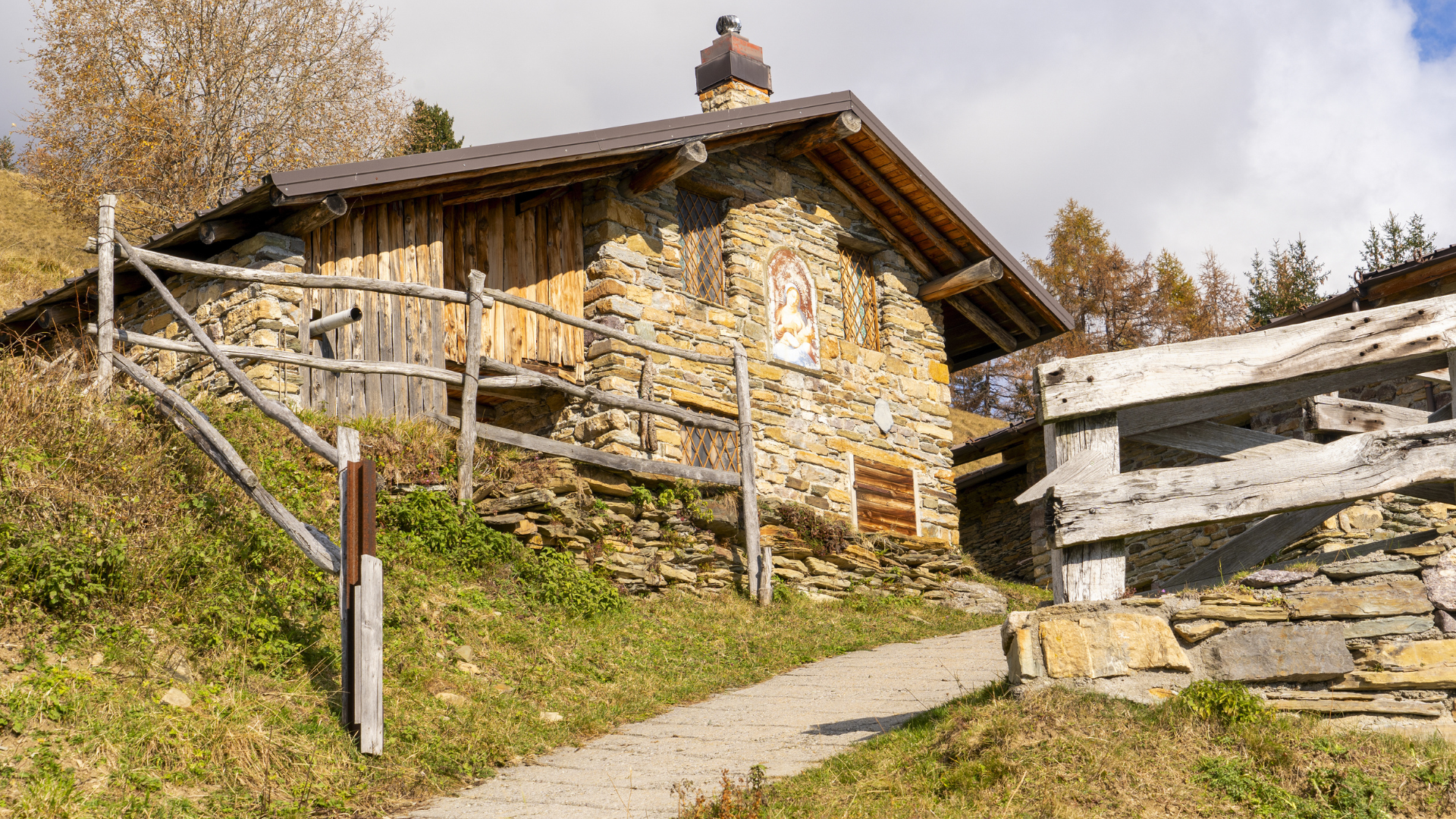
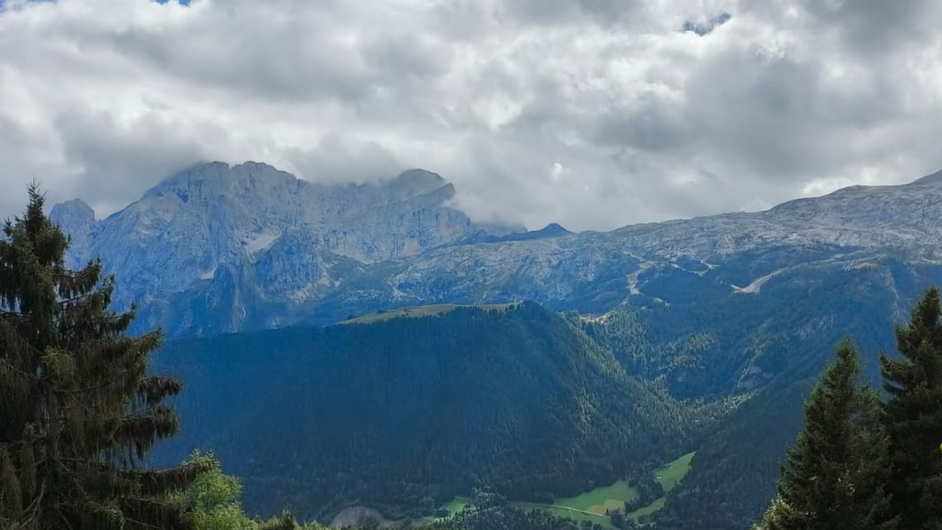
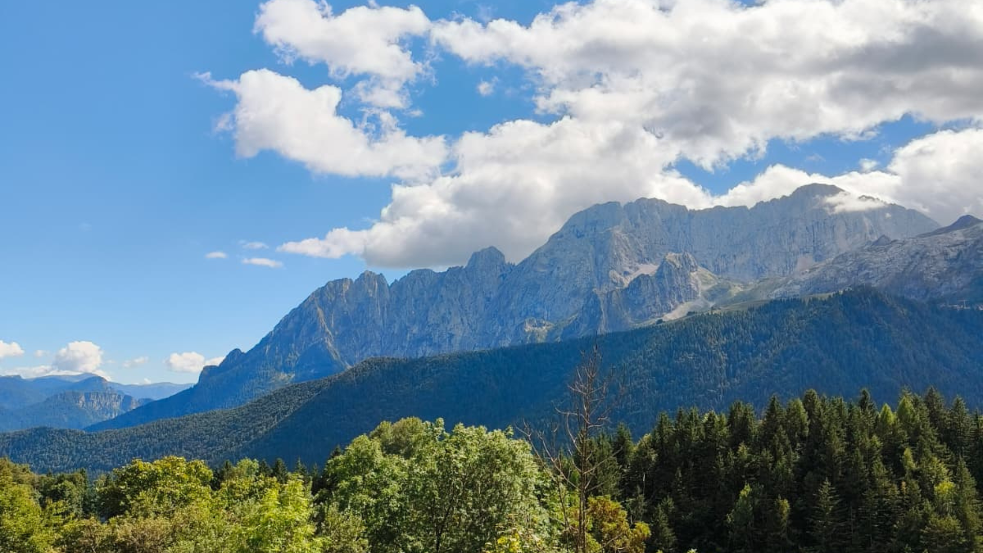
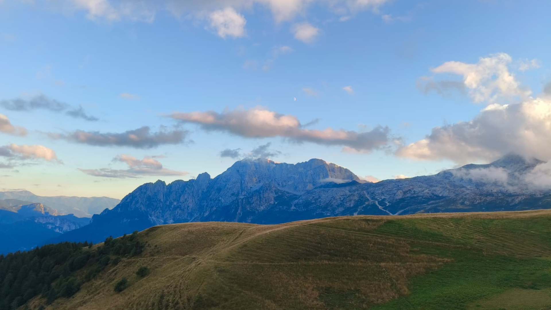
After the last hut in the small village, there is a flat stretch from which you can enjoy a beautiful view of the imposing north face of Presolana. The climb, now rather steep, winds through beautiful meadows, some of which are still partially mowed, and beautiful huts, some of which have been renovated, while others still retain their characteristic local stonework. Among these, at an altitude of 1555m, is the hamlet of Esenne, characterised by a fresco of Holy Mary on one of the huts.
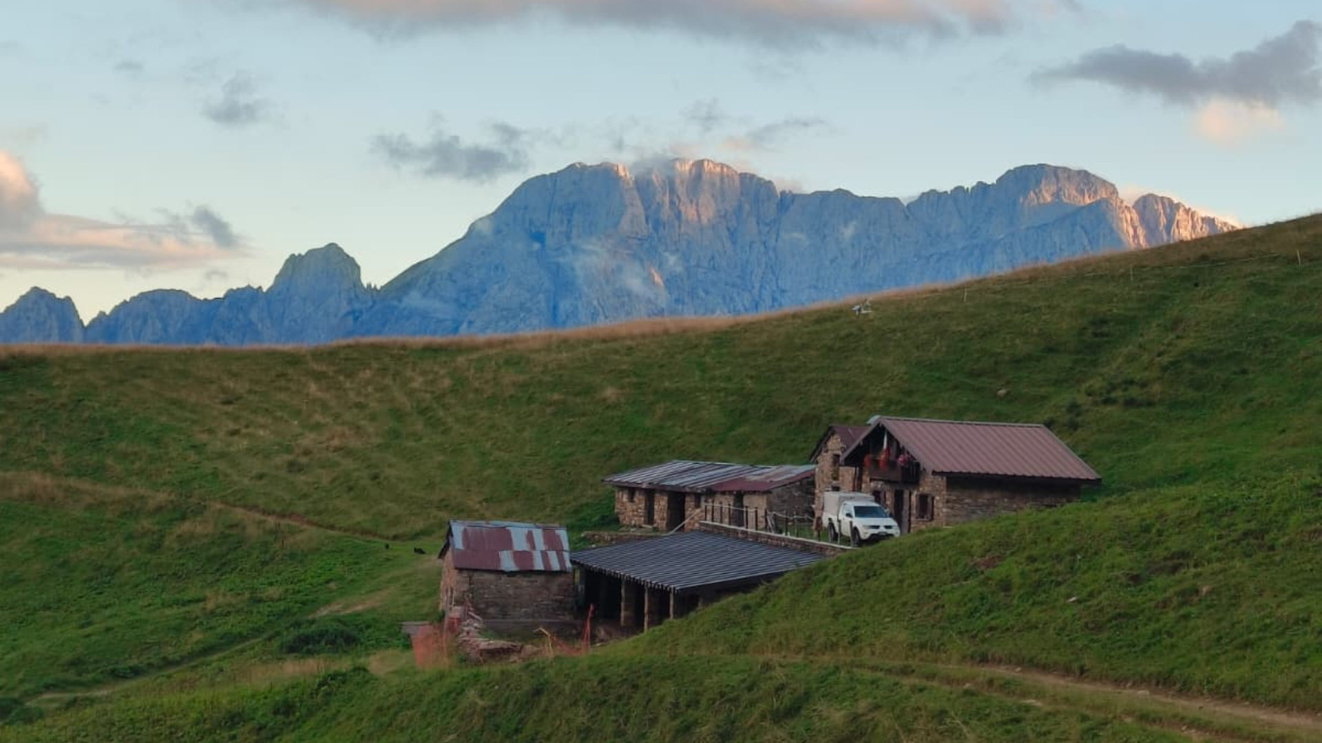
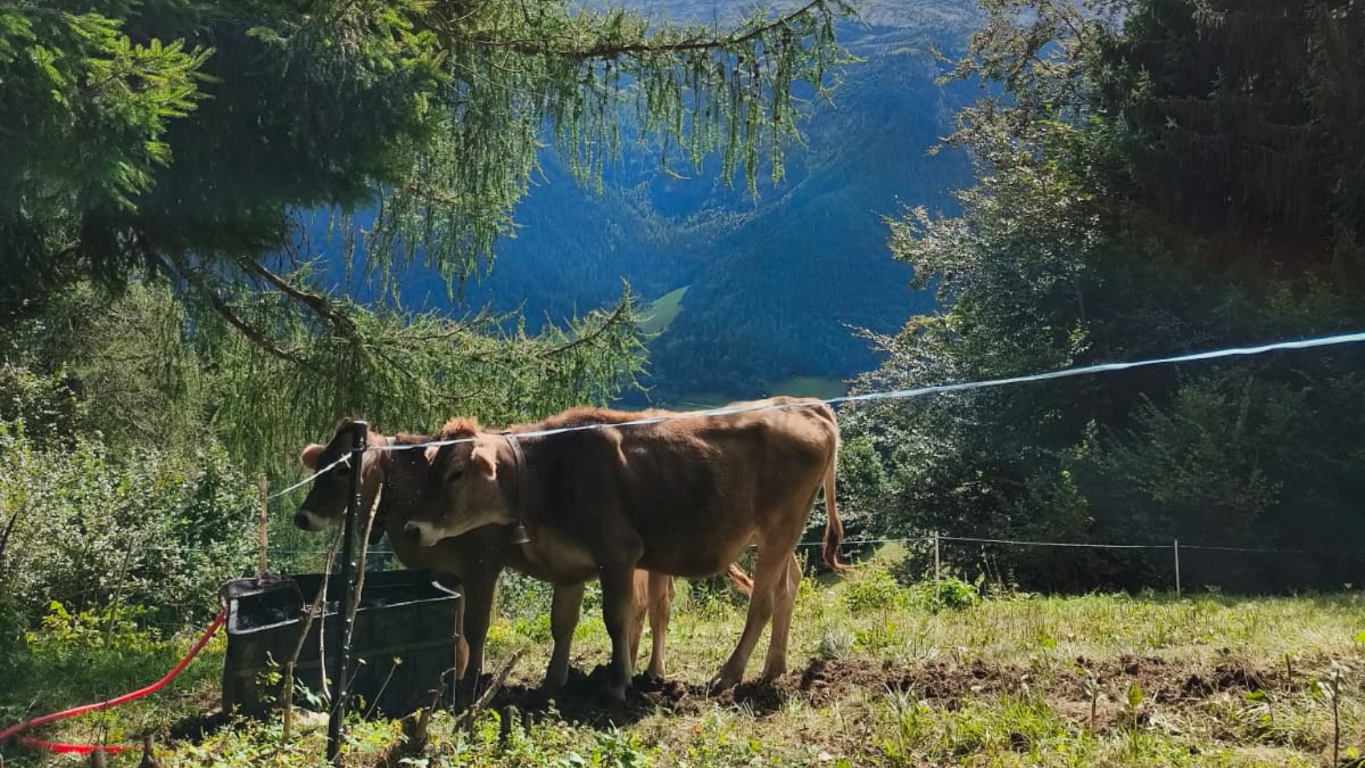
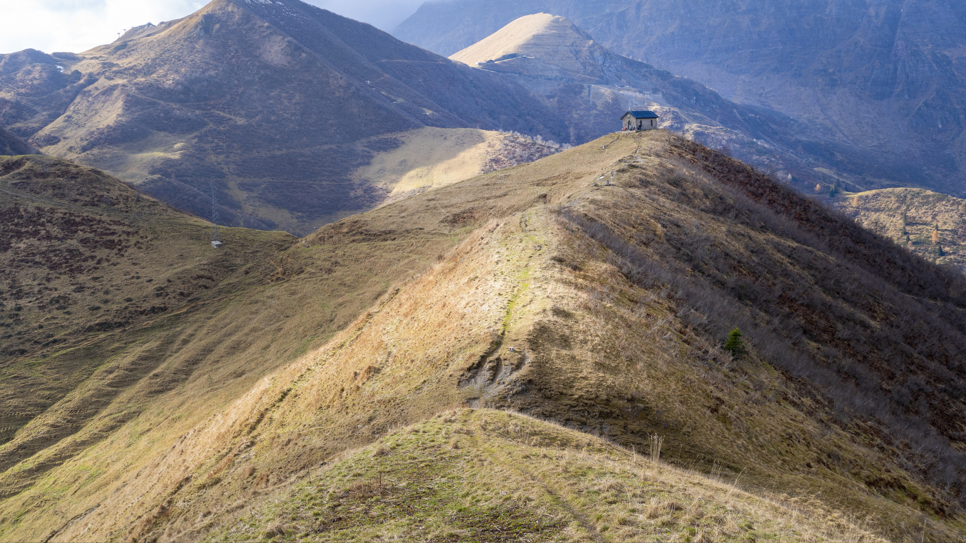
Continuing along the mule track, and seeing the metal cross on the summit of Mount Sasna in the distance, you arrive at the pasture Saline, located at an altitude of 1,795 metres, one of the most beautiful mountain pastures in the valley. Large pools have been created for watering livestock, which can be visited by following the mule track towards the south-east and can be seen from afar as you continue along the path.
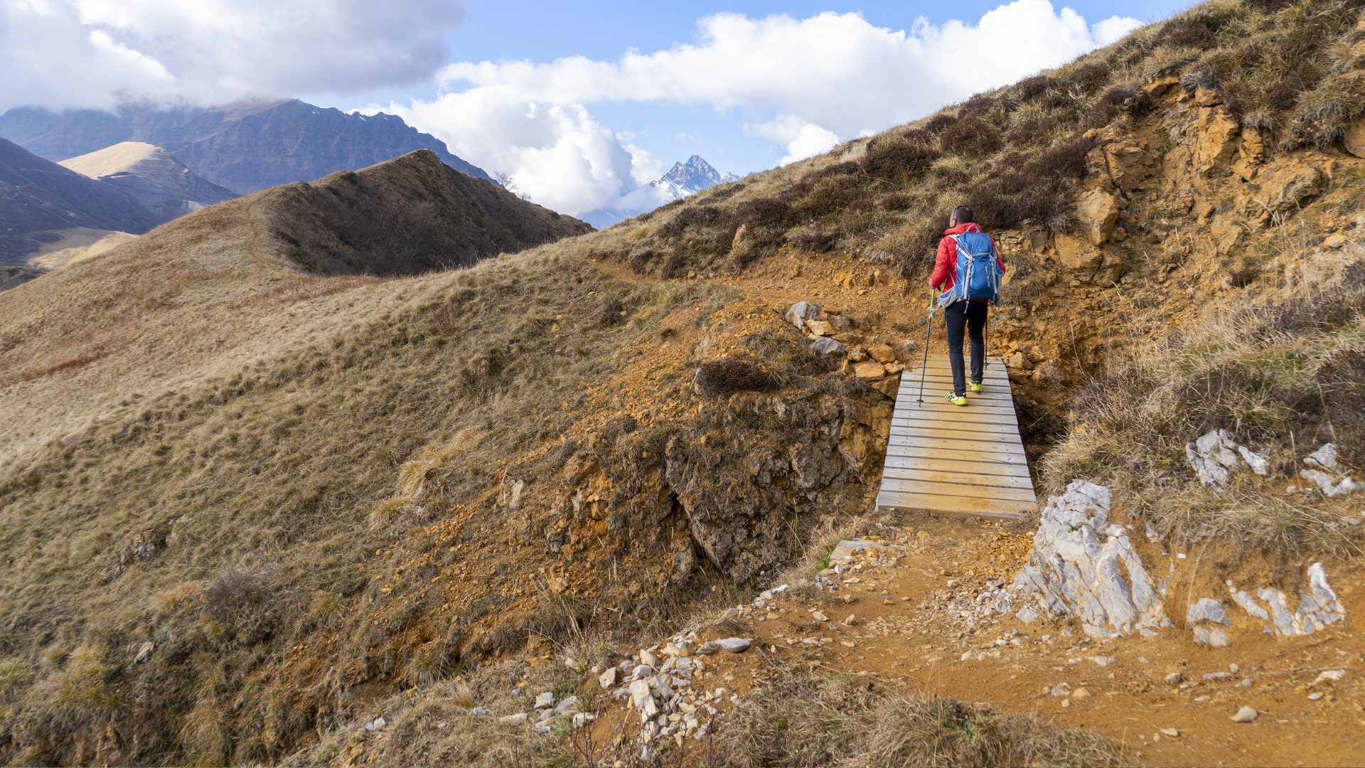
To the right of the huts, there is a small valley with abundant water, which our route crosses, almost on level ground, heading towards Bellavalle huts. Once you reach the bend that goes around the wide slope descending from the mountain, leave the mule track that leads to the Bellavalle mountain pasture and climb up the path that cuts across the slope. This is one of the steepest sections, but it allows you to gain altitude quickly. Looking to the right, beyond the valley formed by the ridge on which we are standing and the slope of the mountain opposite, you can see the huts known as Bellavalle bassa (low Bellavalle) , before continuing on to the Malga Alta delle Saline and malga Alta di Bellavalle (high Bellavalle).
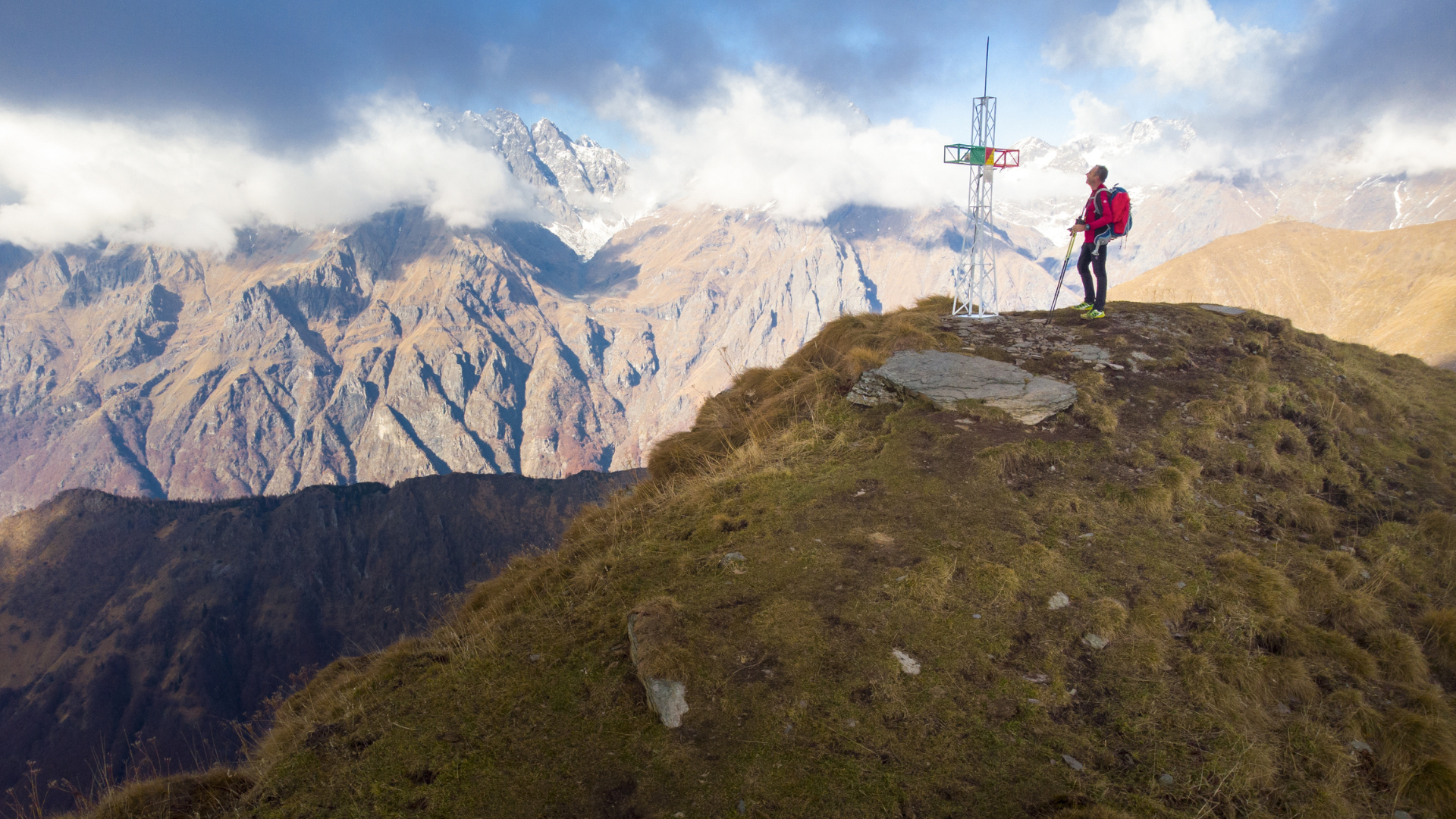
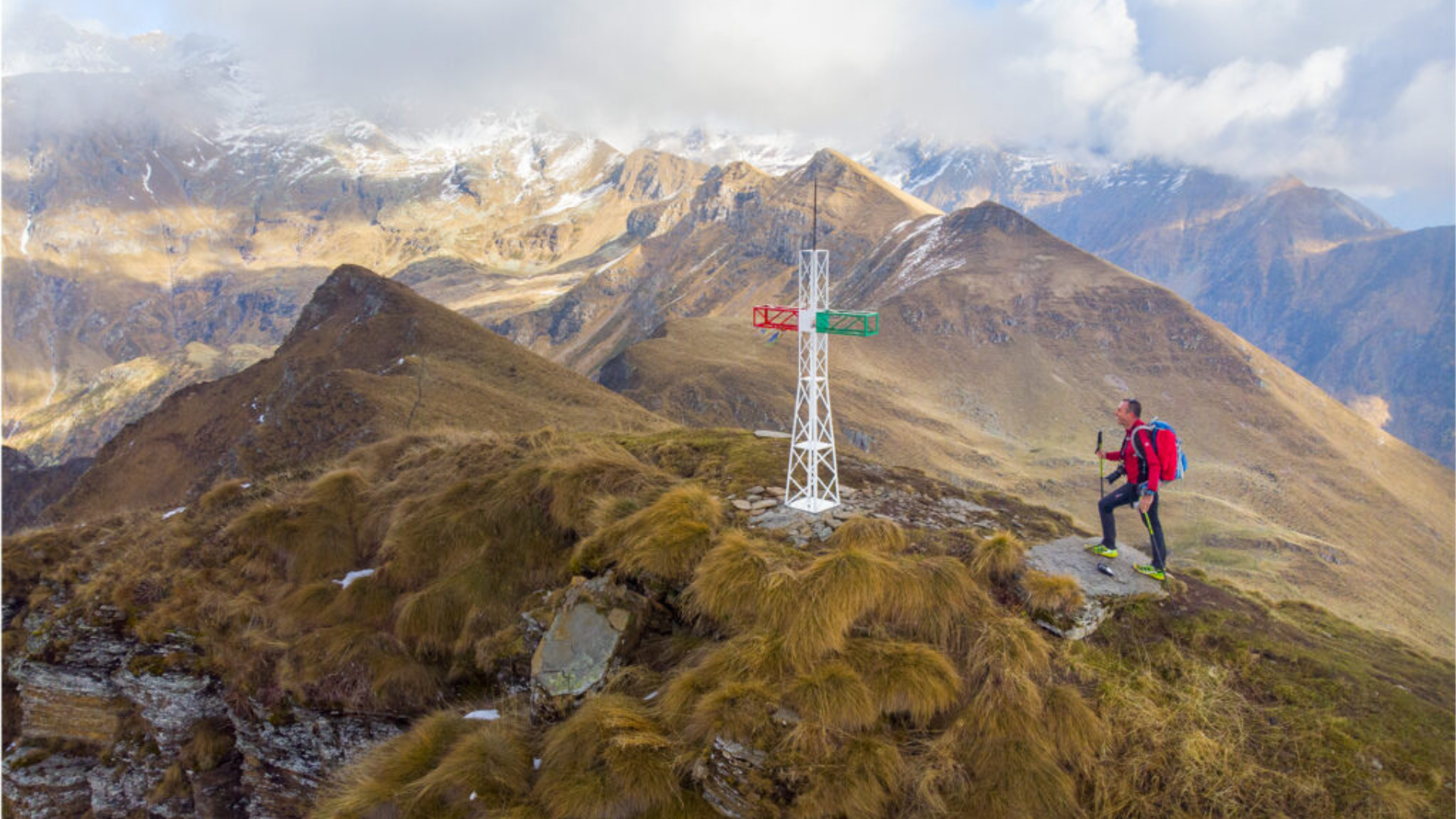
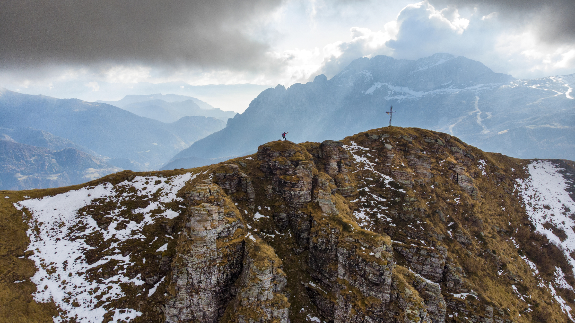
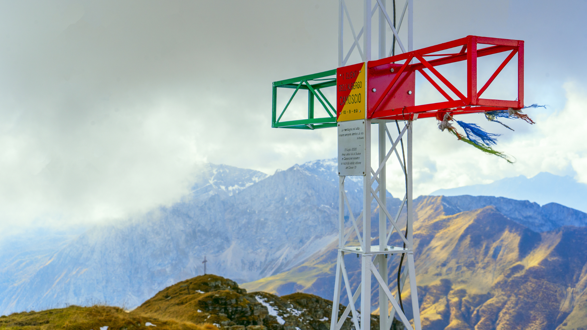
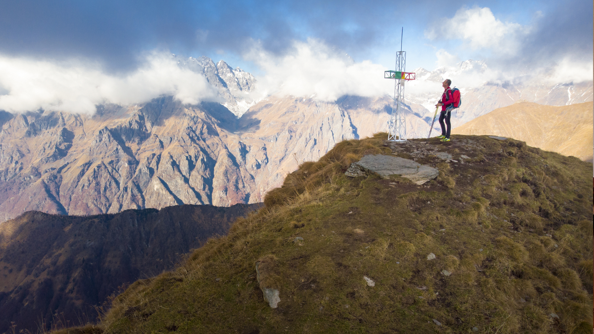
Once past the mountain huts, the route continues along a path, skirting a small valley with a natural pool. For the last stretch, follow the ridge of the mountain until you reach the first peak. Monte Sasna is actually composed of two peaks, divided by a saddle and connected by the path. Both peaks have an iron cross, at an altitude of 2215 m and 2229 m respectively.
For the return journey, you can descend along trail 409 from where you ascended (as GPX track), or continue along trail 408 descending to Passo di Manina, and returning from there to the village of Nona.
Route information
- Fino a 1000: Fino a 1000
- 409: 409
- Cristian Riva, Giorgio Capitanio : Cristian Riva, Giorgio Capitanio